El Niño and climate change are supercharging incoming storm, SoCal’s biggest this winter

- Share via
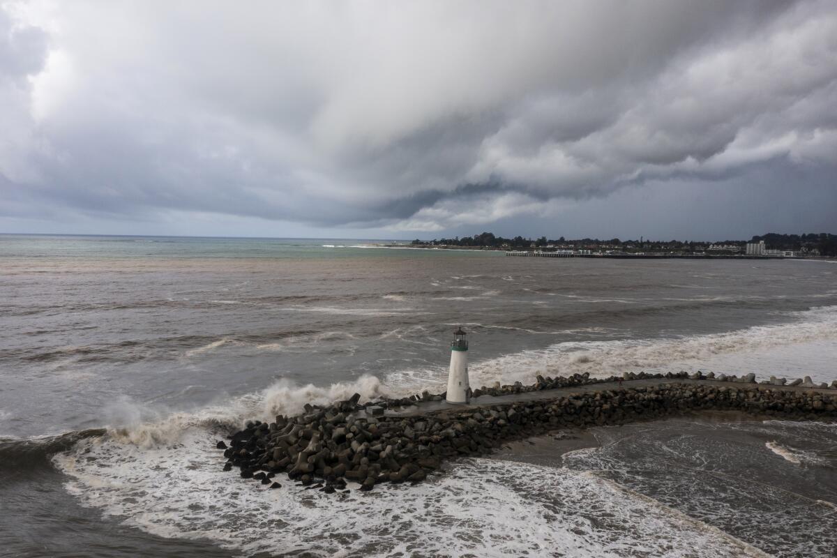
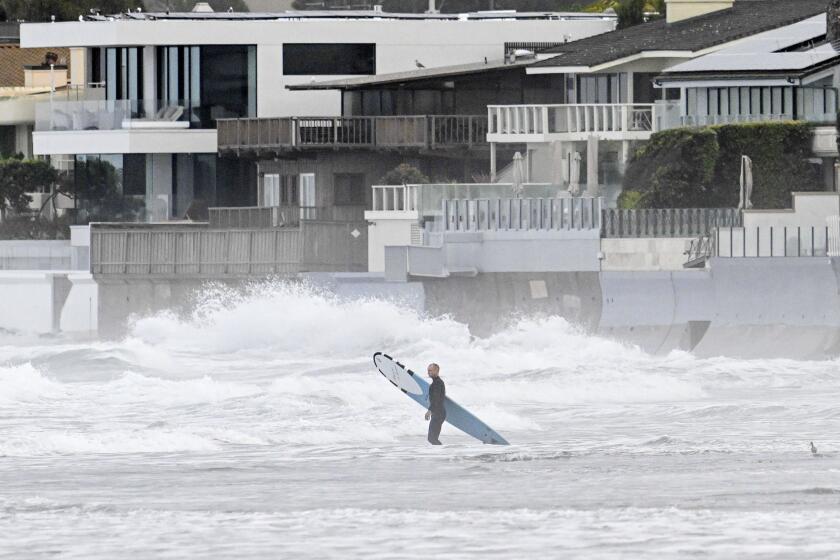
Southern California is bracing for its biggest storm of the season, which is slated to deliver potentially damaging and life-threatening rain, wind and flooding to the region.
But the powerful atmospheric river — worrisome enough on its own — is being supercharged by climate change and El Niño, which together are warming ocean waters, upping the odds of significant downpours and offering a preview of the state’s future in a warming world, experts say.
The incoming storm is feeding off unusually warm waters between California and Hawaii where a significant marine heat wave has persisted for months, said Daniel Swain, a climate scientist with UCLA.
Last year — the planet’s hottest year on record — saw global ocean heat content soar to a record high.
“As ocean temperatures warm, and as atmospheric temperatures warm, those rates of evaporation of water vapor into the lower atmosphere are going to increase quite quickly,” Swain said during a briefing Friday. “A few degrees of warming of nearshore and offshore water temperatures means that there’s more moisture in that lower atmosphere.”
In other words, extra heat and moisture from the warm sea surface are moistening the atmospheric river storms as they approach California, making them more likely to deliver heavy rainfall.
Heavy, sustained rains are forecast across Southern California on Sunday and Monday, bringing almost double Thursday’s rain with damaging flooding possible.
The heated ocean waters are partly due to El Niño, a climate pattern in the tropical Pacific associated with warm, wet conditions in Southern California, Swain said. But climate change is also driving up marine temperatures.
“It’s a combination of El Niño and global warming as to why the oceans are so warm over such a broad region,” Swain said. “It’s not 100% clear exactly the extent to which each is a relevant player, but they’re both significant. The long-term trend, of course, is mainly because of climate change and the warming of the oceans associated with that.”
The warm waters are partly why California has seen so many thunderstorms marked by intense downpours this season.
In December, a storm that barreled through Oxnard delivered a month’s worth of rain in less than an hour.
Last month, a similarly historic event drenched San Diego with more rain in a few hours than the area typically sees in all of January.
In the wake of those storms, experts said warm ocean waters were likely a contributing factor. Both were called “thousand-year events” — or events with 0.1% likelihood in a given year.
Yet the same pattern has already reappeared — though to a lesser degree — as another atmospheric river rolled in Thursday, Swain said. Parts of downtown San Francisco saw more than an inch of rain in an hour, while Long Beach also saw major flash flooding.
“We’ve now seen this happen at least four times this year in California — in San Francisco, Ventura, Long Beach and San Diego,” Swain said, noting that in each incident, warm ocean temperatures were an important ingredient.
“I think it really tells us maybe something about what California’s future winters may look increasingly like in a warming climate,” he said.
Two ‘thousand-year events’ pummeled San Diego and Ventura. Officials say El Niño, climate change and seasonal patterns make similar storms more likely.
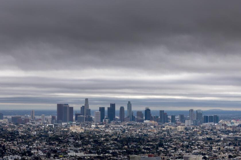
The incoming system could bring similar conditions this weekend to a wide swath of the Southland — including the Los Angeles area, where officials are bracing for up to 6 inches of rain and associated flooding, debris flows and damaging winds.
Rainfall rates of half-an-inch per hour are likely for several hours as the storm moves south from Santa Barbara County to L.A. on Sunday night, with local rates of 1 inch per hour possible, according to the National Weather Service.
Officials in Los Angeles County said they are keeping a close watch on the Palos Verdes Peninsula, which saw devastating land movement last summer and a mudslide Thursday, as well as the mountains and foothill areas along the San Gabriel Mountains.
“We’re always keeping an eye on that area, especially with recent burn scars like in Duarte, with the Fish fire,” said Emily Montanez, associate director with the L.A. County Office of Emergency Management. “In burn scar areas, within three years post-fire, there’s always a chance for mud and debris flow.”
The county’s public works department is clearing storm drains and flood control channels in preparation for an influx of water, she said. The agency is expected to issue phased warnings for areas in the path of the storm, which may include potential evacuation notices in Duarte, Azusa, the Santa Clarita Valley and other at-risk areas.
“This will probably be categorized as our biggest storm this winter so far,” Montanez said.
Though the forecast is rapidly changing as the storm nears, the weather service said it could drop up to 6 inches of rain along the coast and 12 inches in the mountain areas of Los Angeles County — with much of it falling in a 24- to 36-hour period Sunday into Monday.
“Historically, rainfall of this magnitude creates major hydrologic problems in our area, and there’s no reason to think this won’t happen with this event,” the agency said. “People need to start preparing now for a major flooding event.”


