Extreme storm could overwhelm Southern California dam and flood thousands

- Share via
HESPERIA, Calif. — Federal engineers have found that a dam protecting the high desert communities of Victorville, Hesperia, Apple Valley and Barstow falls short of national safety standards and could erode and collapse in an extreme flood, inundating thousands of people.
Officials for the U.S. Army Corps of Engineers said Tuesday that they had raised the risk factor for the Mojave River Dam from “low” to “high urgency action” because of “performance concerns” discovered at the 48-year-old structure, which joins a growing inventory of California dams showing signs of severe stress.
The Corps is considering strategies to shore up the dam and also counter the impacts of extreme weather shifts due to climate change, said Gary Lee, chief safety engineer for the Army Corps’ Los Angeles District, during a tour of the structure on Tuesday.
“This dam was built in 1971, when climate change was still an unknown phenomenon,” he said. “Climate change creates more uncertainty, which, going forward, will be taken into account.”
Failure of the 200-foot-tall earthen dam on the northern flanks of the San Bernardino Mountains would send water rushing down the river channel, inundating 16,000 people and $1.5 billion in property as far away as Baker, more than 100 miles northwest.
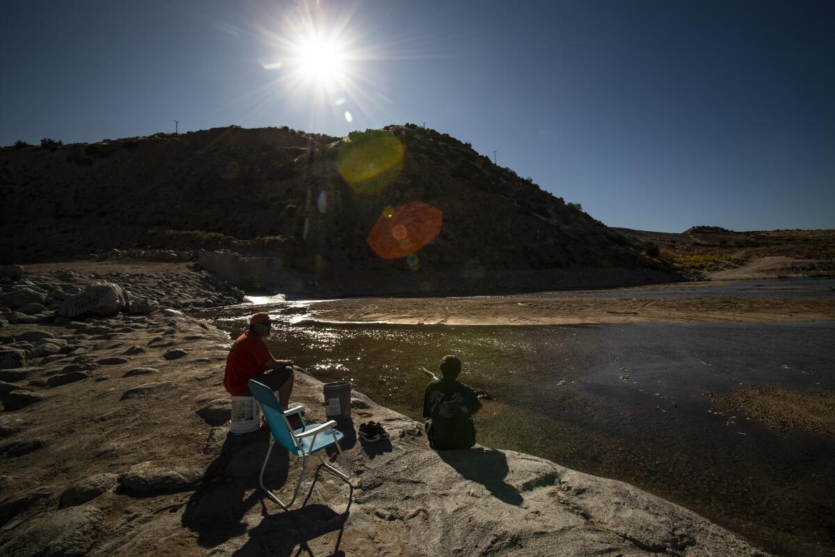
Flood flows have never spilled over the top of the dam, but a series of storms in 2005 raised the water level behind it to a record 77 feet — about 72 feet below its concrete emergency spillway.
The agency is evaluating interim risk-reduction measures associated with a potential overtopping of the dam and anticipates some of those measures will be in place prior to this year’s winter rains.
One possible solution would be to harden the dam to prevent water flowing over the top from eroding it, causing it to collapse, Lee said. “Another approach would be to raise the dam by at least three feet.”
“At this point,” he added, “we don’t know what the costs will be.”
The reclassification of the dam in San Bernardino County comes amid growing concerns that California’s major federal flood-control systems were based on 20th century assumptions and hydrological records that do not consider “whiplashing shifts” in extreme weather.
Some researchers argue that in a warming world, the state could be hit more frequently by storms that were previously regarded as once-in-a-lifetime events.
These cycles, they say, will seriously challenge the state’s ability to control flooding, as well as to store and transport water.
“The risks of catastrophic flooding are not as rare as they once were,” Daniel Swain, a UCLA climate scientist said, “and they will be less rare in the future.”
In recent years, the U.S. Geological Survey and the U.S. Department of Interior have sought to raise awareness of the threat of megastorms and promote emergency preparedness. Part of the challenge, however, has been characterizing the frequency and scale of such storms.
When scientists speak of a 900-year storm, that does not mean the storm will occur every 900 years, or that such a storm cannot happen two years in a row. It means that such a storm has a 1 in 900 — or 0.1% — chance of occurring in any given year.
The estimates used previously by federal engineers were intended to protect the region from a storm like the one that hit California during the rainy season of 1861-62, when a series of intense storms hammered the state for 45 days and dropped 36 inches of rain on Los Angeles.
Until recently, it was thought that an 1861-62 flood was likely to occur every 1,000 to 10,000 years. New research, however, suggests the chances of seeing another flood of that magnitude over the next 40 years are about 50-50.
In early 2017, a concrete spillway at the Oroville Dam disintegrated during the release of water after heavy rains. The subsequent erosion of the dam’s emergency spillway triggered the evacuation of more than 180,000 people.
The same year, the Corps discovered that 60-year-old Whittier Narrows Dam, built in a natural gap in the hills east of Los Angeles, was structurally unsafe and posed a potentially catastrophic risk to more than 1 million people along the San Gabriel River floodplain.
The Corps estimates it will cost roughly $600 million in federal funds to upgrade the Whittier Narrows facility, which has been reclassified as the agency’s highest priority nationally because of the risk of “very significant loss of life and economic impacts.”
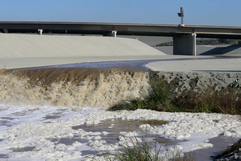
Federal engineers earlier this year announced that a significant flood event could compromise the concrete spillway of 78-year-old Prado Dam beside the 91 Freeway on the border of Riverside and Orange counties and potentially flood dozens of communities along the Santa Ana River from Disneyland to Newport Beach.
An $880-million effort to increase storage capacity for floodwaters and sediment at Prado Dam has been underway since 2002. It includes raising the spillway crest by 20 feet to an elevation of 563 feet, replacing outlet systems, increasing the reservoir area, building new dikes and improving the wetlands behind the dam.
The retrofit operations on the spillways at both Whittier Narrows and Prado dams could begin as early as 2021, officials said. In the meantime, both dams continue to be fully functional and operable during storm events, said Dena O’Dell, a spokeswoman for the agency.
Federal engineers are raising alarms that a “significant flood event” could compromise the spillway of Southern California’s aging Prado Dam and potentially inundate dozens of Orange County communities from Disneyland to Newport Beach.
Los Angeles County officials are seeking to take ownership of 40 miles of flood-control channels along the L.A. River from the Army Corps as part of an effort to expedite maintenance and water conservation improvements as climate change increases the frequency of extreme weather.
The move was spurred by concerns that the Army Corps’ World War II-era channels, including a lush soft-bottom stretch of the Los Angeles River between Griffith Park and downtown, have not been adequately maintained because of dwindling federal funds, county officials said.
Now, given the threats posed by the Whittier Narrows, Prado and Mojave River dams, the Army Corps is collaborating with Los Angeles, Orange, Riverside and San Bernardino counties, and several dozens of municipalities, to raise flood-risk awareness and develop emergency plans, including evacuation blueprints, before repairs to the dams are completed.
That won’t be easy along the Mojave River, which flows north for 90 miles from the Forks Dam near Silverwood Lake. For nearly all its distance, the river flows underground, prompting some to call it the “upside-down river.”
“We’ve long known about the water that dam holds, so we don’t have any homes in portions of the flood zone within our jurisdiction,” Rachel Molina, a spokeswoman for Hesperia, said. “But there are homes in areas adjacent to the dam, which is the responsibility of the Army Corps, in unincorporated county land.”
In Victorville, which is along the middle reaches of the river, the news about the dam coincided with a grand opening celebration of the city’s $7-million Mojave Riverwalk project, which includes 11 miles of bikeways running from Victor Valley Regional Park west to Mojave Narrows Regional Park.
Victorville officials on Tuesday declined to comment on the matter.


