The great California snowmelt has begun: See striking before and after satellite photos
- Share via
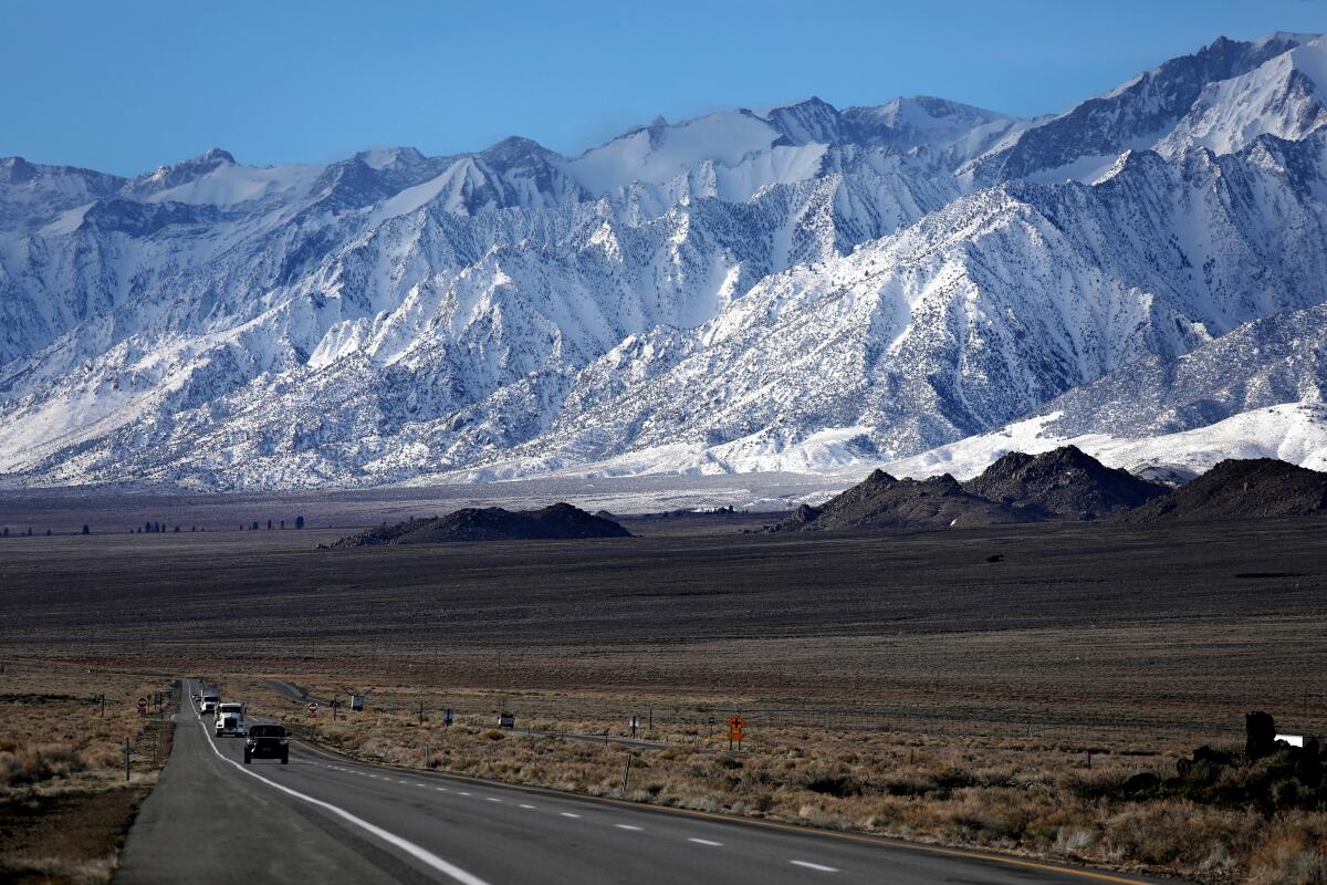
As California’s wet winter has given way to warmer spring weather, the state’s record snowpack has begun to melt.
Though the accumulated snow still measures 249% of normal as of April 18, new satellite photos show that the white blankets enveloping mountains across the state have started to recede.
The Southern Sierra continues to be the standout region, with snow levels on slopes there at more than 300% of normal.
Satellite images seen below from NASA’s Earth Observing System Data and Information System, or EOSDIS, show the snowy Sierra on March 16 (left), and a month later (right).
While the snowpack remains substantial in the more recent image , it has dissipated significantly at lower elevations. The Mendocino Range, seen in the top left of the image, also shows significant snow loss.
In Southern California, the change has been even more dramatic.
The San Gabriel, San Bernardino and San Jacinto mountains were blanketed in snow on March 24, but by April 8 much of the snow had melted away.
Images below from a European Space Agency satellite captured the snow melt.
While the Southern California snowpacks have caused relatively little flooding as they melt, the snow in the Sierra may be a different story.
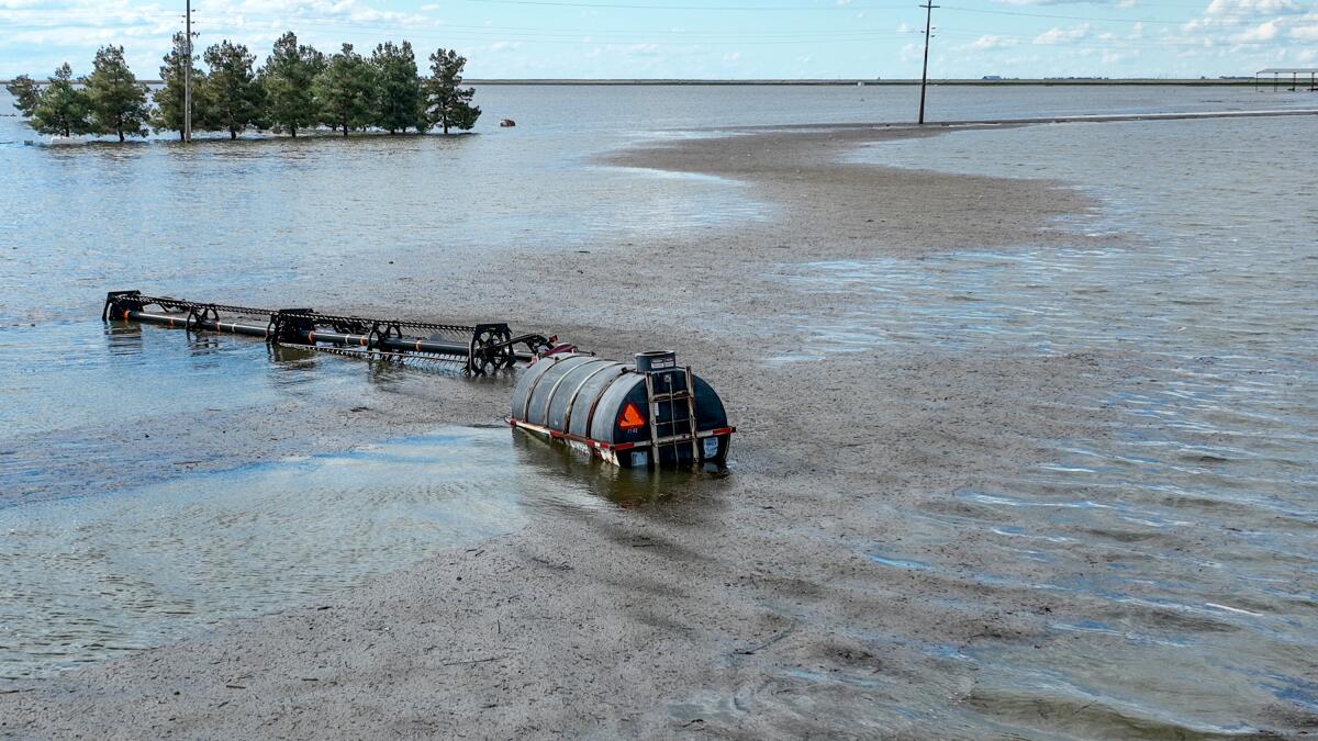
Flood danger could last through the year in the adjacent San Joaquin Valley, officials told the Times. The valley has already endured significant flooding this year, with excessive rains wreaking havoc in small towns and fueling the renaissance of Tulare Lake.
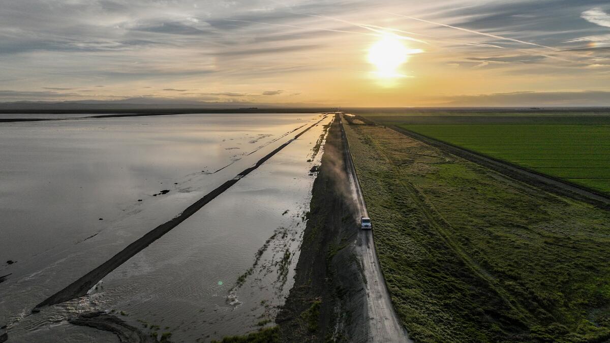
Typically, about a quarter of snow melt takes place in April, with the majority coming in May and June as the weather warms up.
But the remarkably wet winter means flooding could linger through much of the year, the latest outlooks show.
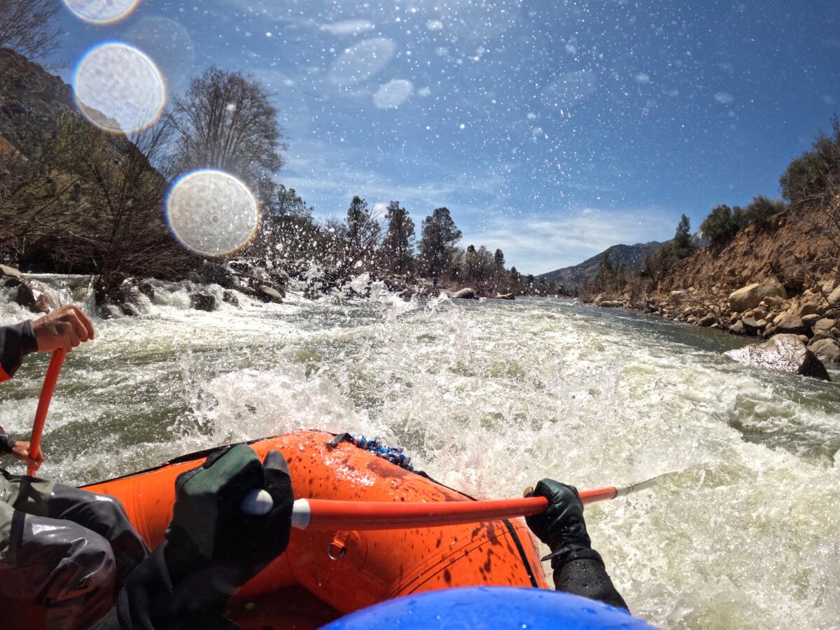
The Tulare Lake basin and the San Joaquin River basin remain the areas of top concern, as record-deep snowpack in the southern Sierra Nevada is expected to send a cascade of water down into the San Joaquin Valley as it melts.
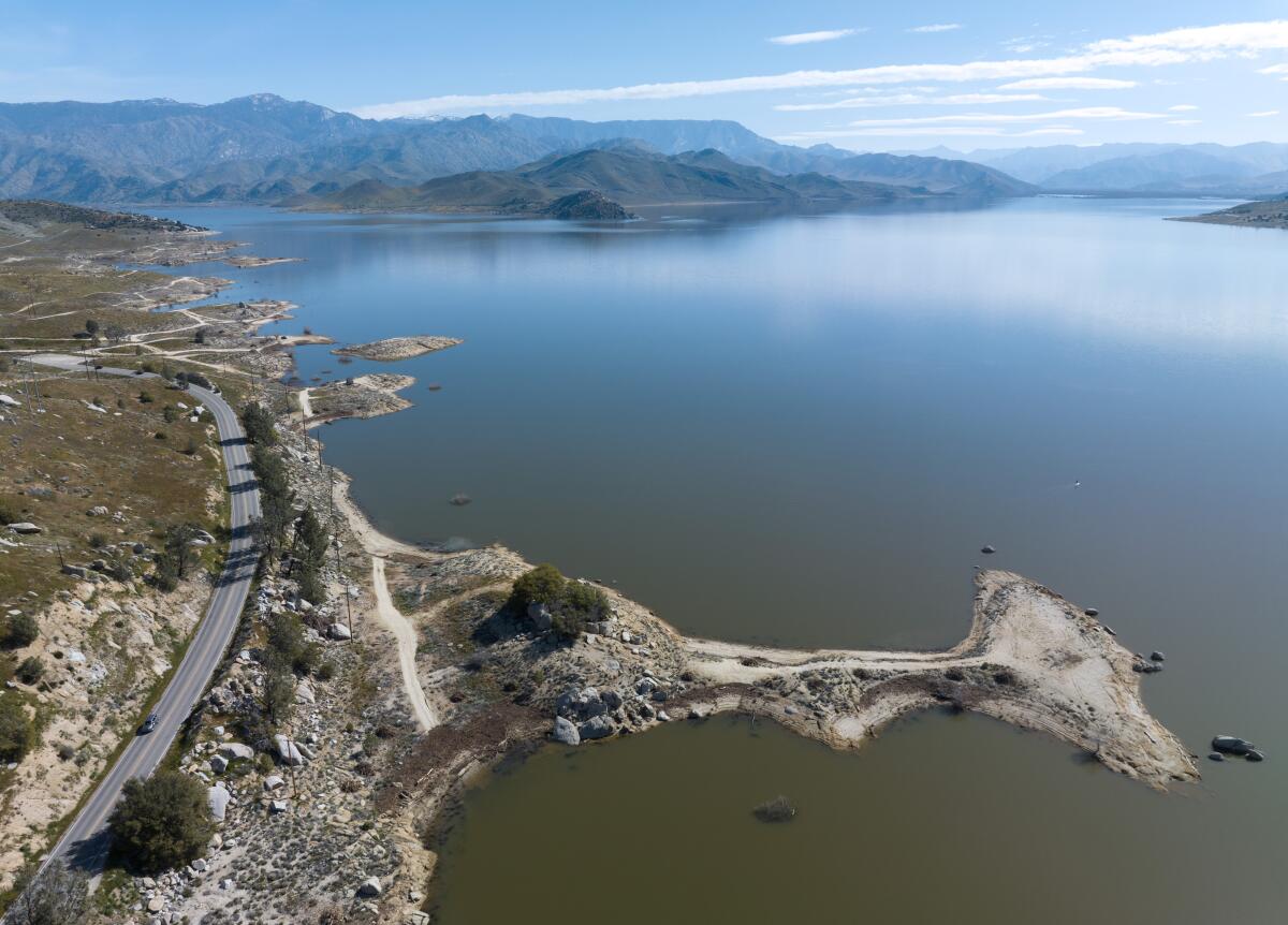
The threat comes after one of the state’s coldest, wettest winters on record. Mammoth Mountain in the Sierra received more than 700 inches of fresh powder this season, and there is now more water contained in the state’s snowpack than the capacity of Lake Mead, the nation’s largest reservoir.
Though most of the focus is on the Central Valley, officials in L.A. are also keeping an eye on on spring and summer flooding as it could cause additional damage to the Los Angeles Aqueduct.
The aqueduct, which delivers water from the Owens Valley to millions of Angelenos, has already suffered damage from this winter’s storms.
Times Staff Writer Hayley Smith contributed to this report.
More to Read
Sign up for Essential California
The most important California stories and recommendations in your inbox every morning.
You may occasionally receive promotional content from the Los Angeles Times.

