California’s wild weather continues, with snowiest day of the year recorded in May
- Share via
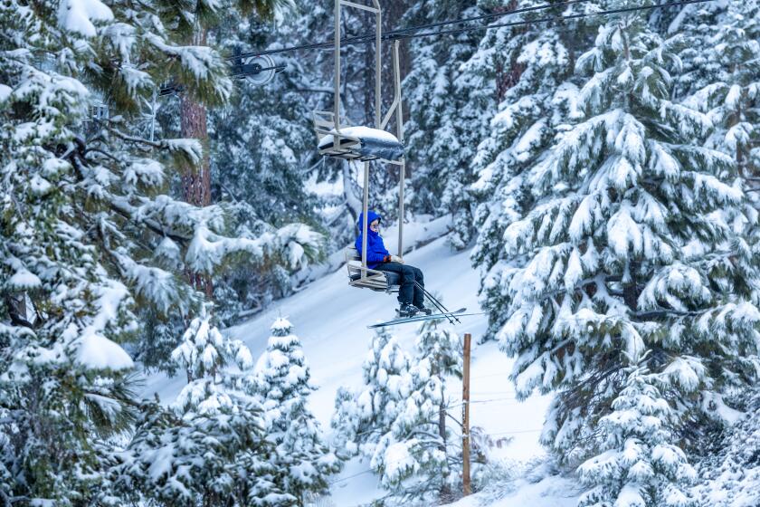
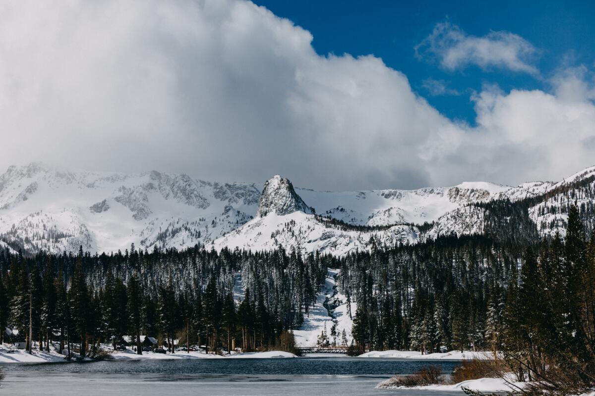
A rare late season storm dumped nearly 2 feet of snow on some regions of Northern California over the weekend, breaking at least one daily snowfall record.
The storm, which swept in from the Gulf of Alaska, dropped about 31 inches of snow on Lower Lassen Peak, 26 inches at Palisades Summit and 22 inches at Soda Springs Ski Resort and 16 inches at Kingvale, according to the National Weather Service’s Sacramento office.
The UC Berkeley Central Sierra Snow Laboratory at Donner Summit recorded 26.4 inches of snow in a 24-hour period on May 5, making it the “snowiest day of the season at the lab,” according to a social media post. The last record was 23.8 inches on March 3.
“Did anyone have the snowiest day of the 2023/2024 season being in May on their winter bingo card?” station officials wrote.
The bulk of the storm hit just around midnight Friday at the Sierra Snow Lab, resulting in the record high 24-hour snowfall, said National Weather Service meteorologist Scott Rowe. The storm brought down a mass of cold air that was forced to rise into the Sierra Nevada, creating a lot of mountain snow as the air condensed, he said.
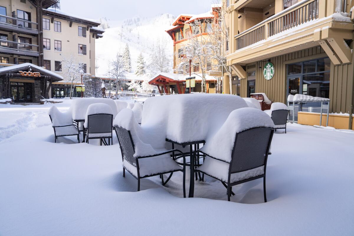
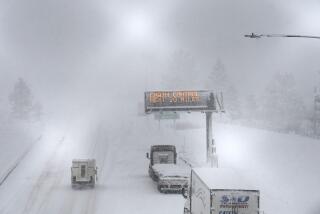
Caltrans closed Interstate 80 for several days because of adverse conditions and “zero visibility” during the snow storm, according to the agency.
California receives about 70% of its annual precipitation during the months of December, January and February, Rowe said. Precipitation tends to drop off around April and beyond.
“For a system to dump 1 to 2 feet of snow in early May is quite remarkable,” Rowe said.
Employees at Palisades Tahoe in Olympic Valley scrambled to prepare the slopes Sunday morning after the resort received the second-highest 24-hour snowfall. The last snow recorded was 31 inches on March 3, bringing the season’s snowfall total to 423 inches.
“Our teams are hard at work this morning getting the mountain ready for one of the best May powder days in recent memory, but some patience will be required as we do expect delayed openings,” the resort wrote on X, formerly known as Twitter, on Sunday.
In the aftermath of the storm, temperatures are expected to shoot up this week, according to the weather service. It’s expected to be in the low to mid 70s for the Sacramento Valley on Friday before warming up to around 90 degrees on Saturday. Above-normal temperatures are expected for the next two weeks.
Wednesday’s storm dumped even more rainfall across Southern California, pushing up yearly rain totals well above average.
Offshore winds could also result in gusts of up to 40 to 45 miles per hour in the Sacramento Valley by Tuesday night into Wednesday morning, with a brief lull until Wednesday morning, according to the weather service. The breeziness is expected to pick back up Wednesday afternoon into the evening hours.
Forecasters aren’t too concerned about fire danger, despite the warm temperatures, gusts and low relative humidity, because the rain from the weekend storm should keep risk relatively low.
“It’s something we’re monitoring, especially as we get warmer into the weekend and into next week,” said National Weather Service meteorologist Nathan Rick.
In the Los Angeles region, the weekend storm dropped only about a tenth of an inch or less, according to the National Weather Service.
Temperatures will be warming up into the mid to upper 70s and lower 80s by the weekend for the L.A. area. Downtown Los Angeles could reach the upper 70s, while in the valleys it could get as hot as the low to mid 80s. Dry conditions are expected to persist. There’s still uncertainty in the forecast about how long the higher temperatures will last.
“It’s just a warming trend, but it’s nothing where we’d anticipate issuing any heat advisories or warnings,” said National Weather Service forecaster David Gomberg in the Oxnard office.
The snowfall comes on the heels of California’s second consecutive wet winter, which delivered soaking storms and boosted the state’s water supplies heading into spring.
NASA satellite images the Sierras and Southern California mountains before and after the recent storms which helped to replenish a depleted snowpack.
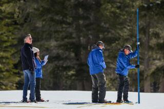
Snowpack across the Sierra Nevada measured 110% of its average level on April 1, the date when it is typically at its deepest. On Monday, it was still 99% of its normal amount for the date, amounting to about 17 inches worth of water. The state’s major reservoirs were at 119% of average levels.
Snowpack typically provides about one-third of California’s water supply, and the influx of rain and powdery snow this season has enabled the state to increase its anticipated allocation of supplies to the 29 agencies that rely on the State Water Project — a vast network of canals, reservoirs and dams that serves 27 million Californians.
The second consecutive wet winter also factored into Gov. Gavin Newsom’s updated water plan, released last month, which focuses on addressing climate change, strengthening the resilience of the state’s watersheds and achieving greater equity in water management.
The governor continues to push for major infrastructure projects such as the Sites Reservoir and the Delta Conveyance Project, which he said would have helped California capture even more water this year. He said the projects are needed to help gird the state against changing hydrologic conditions, and pointed to the recent pair of wet winters — which came on the heels of California’s three driest years on record — as an example of weather whiplash.
“These extremes are becoming the new reality, and that new reality requires a new approach,” Newsom said in April.
Andrew Schwartz, lead scientist at the UC Berkeley Central Sierra Snow Lab, described the current water year as “remarkably average.” California typically experiences “weather whiplash years,” going from an exorbitant amount of rainfall to dry conditions the following year.
Because the previous water year had plenty of rain, he said it was a good thing that this year was average or slightly above average.“We had moisture last year to bulk up the reservoirs and there were concerns coming into this year that we’d go back to dry conditions,” he said. “We ended up at average, which really benefits us.”
More to Read
Sign up for Essential California
The most important California stories and recommendations in your inbox every morning.
You may occasionally receive promotional content from the Los Angeles Times.

