Sundowner winds stymie fire crews as Alisal fire grows to more than 15,000 acres
- Share via
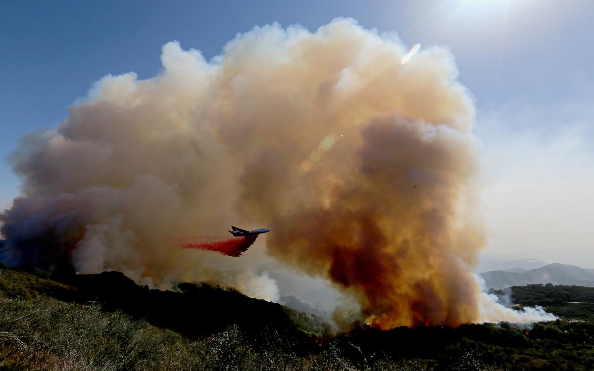
GOLETA, Calif. — The Alisal fire in Santa Barbara County swelled to more than 15,000 acres Wednesday, threatening the former vacation home of President Reagan and becoming Southern California’s first major wildfire of the season.
The blaze has been fueled by drought-parched terrain and 40-mph wind gusts, conditions that made for challenging firefighting efforts. It was 5% contained.
Many area residents dread this time of year, when the warm ocean breezes that typically meander in from the coast give way to howling winds that rattle oak trees, carry clouds of dust and deliver the potential for disaster.
The fearsome sundowner winds, which race down the slopes of the Santa Ynez Mountains toward the sea, are exclusive to the area’s topography and have stoked some of its worst wildfires, including the 2016 Sherpa fire, which seared 7,500 acres in less than three days.
Fueled by bone-dry vegetation, the Alisal fire has burned 13,000 acres and is 5% contained.
Officials said the flames were nearing Rancho del Cielo, the 688-acre ranch known as the “Western White House,” where Reagan and his wife, Nancy, played host to several world leaders.
The property’s manager, Flemming Bertelsen, said Wednesday morning that the fire had come within a quarter-mile of the famed ranch but that so far it had “dodged a bullet.”
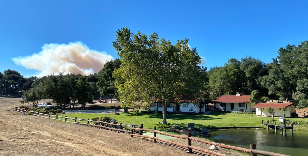
“We were expecting to get slammed by the fire running up-canyon on us, but amazingly, this unusual north wind kept pushing it away from us,” he said.
Bertelsen, a former wildland firefighter, said he and four other workers were continuing fuel reduction and structure defense, including clearing away dried leaves and twigs that blew throughout the night. It was far too soon to call the battle won, he said.
“People tend to underestimate fire behavior,” he said, “and when everything comes into alignment — when the winds and the topography and the fuels and the radiant sunlight all line up at once, there’s really nothing that’s going to stop fire from overrunning even a compound as well defended as Reagan Ranch.”
The 101 Freeway remained closed between Winchester Canyon Road and Highway 1 on Wednesday morning, according to the California Department of Transportation.
The fire in Santa Barbara County is threatening up to 120 structures, including Rancho del Cielo, once a vacation home for President Reagan.
By Wednesday afternoon, 15,442 acres had been charred.
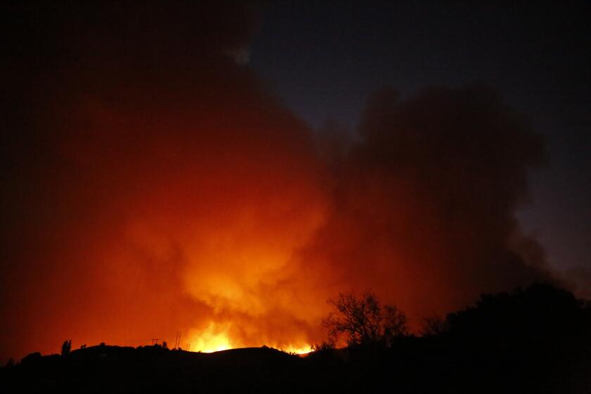
The fire, whose cause remains unknown, began around 2:30 p.m. Monday. Within hours, winds had propelled the blaze south toward Tajiguas Landfill and the 101 Freeway, officials said, which it later jumped in multiple places.
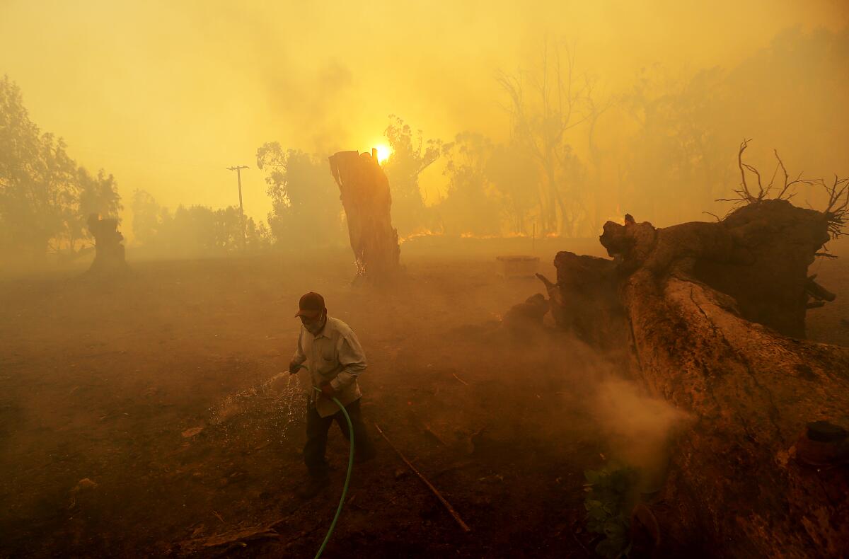
The Sherpa fire “did the same thing,” said Tom Himmelrich, a battalion chief with the Santa Barbara County Fire Department, as he stood amid the Alisal fire’s swirling ash and smoke. “It started at the top of the mountain under sundowner winds, and it blew all the way down here.”
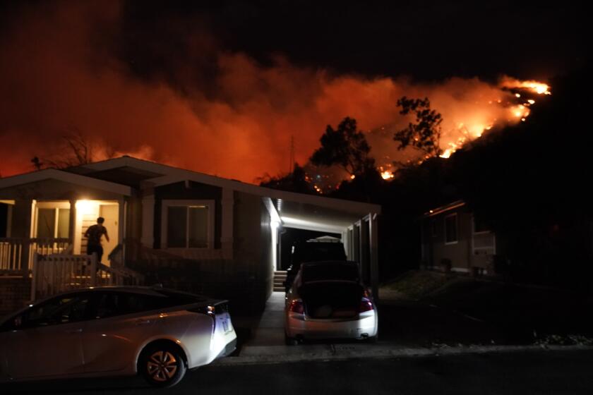
Within hours, authorities had evacuated hundreds of homes, canceled area Amtrak services and closed the freeway as flames tore through the fine grasses and dense chaparral that dot the hillsides.
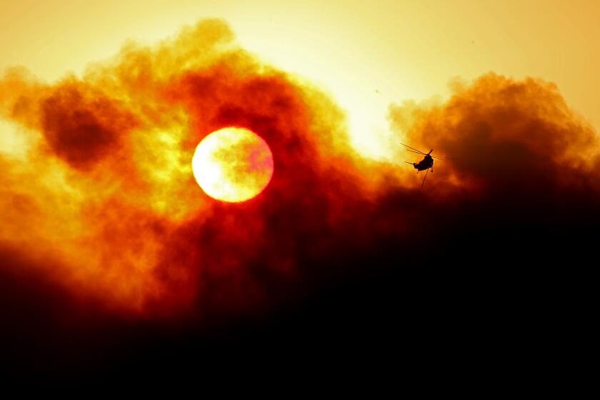
The winds and smoke were so heavy that some fixed-wing firefighting planes couldn’t fly, Himmelrich said — leaving hand crews and helicopters working rapidly to protect what they could.
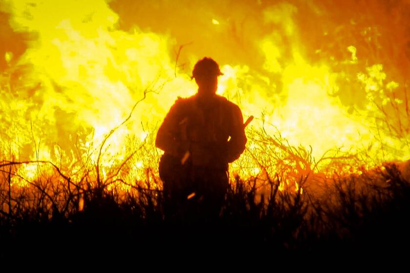
At the top of one hillside property, about 15 firefighters — among roughly 1,300 who were battling the blaze — hacked at the bone-dry hillside with hoes and chain saws as thick smoke billowed from just beyond the ridge.
Himmelrich said some areas in Alisal’s path haven’t burned since the Refugio fire in 1955, so there is “a lot of dead fuel mixed in there,” but the strong winds, low humidity and dry vegetation were spurring most of the growth — much as they did for other wildfires this year.
The sundowners can arrive throughout the year but cause the most dread during fire season. California’s Santa Ana and Diablo winds often arrive in the fall, leaving some officials worried that there could be much more of the fire season to come.
A fire weather watch has been issued for Los Angeles and Ventura counties for Friday.
Officials said most of the homes threatened by the Alisal fire were in Refugio Canyon, although evacuation orders and warnings spanned from Gaviota to Naples. The California Governor’s Office of Emergency Services reported that the evacuation orders affect thousands of residents.
Also of concern is an ExxonMobil processing facility in Las Flores Canyon, which has been out of commission since the 2015 Refugio oil spill.
Infrared mapping appeared to show the fire burning into the canyon, but Exxon spokeswoman Julie King said no damage has been reported.
The facility remains in a “safe, preserved state” and officials are watching the fire closely, she said.
The oil treatment plant has been the subject of controversy in Santa Barbara County as Exxon explores revitalizing the facility and trucking the oil along the Central Coast.
Though Refugio Canyon isn’t densely populated, it is a close-knit community that is rich with history. Residents called to check on one another Tuesday; some gathered along Refugio Road to watch as flames roared down a hillside.
Brian and Tracy Stuart, owners of a 20-acre property known as Gaia Farm, followed the updates from a relative’s house in Santa Barbara after the fire forced them to flee.
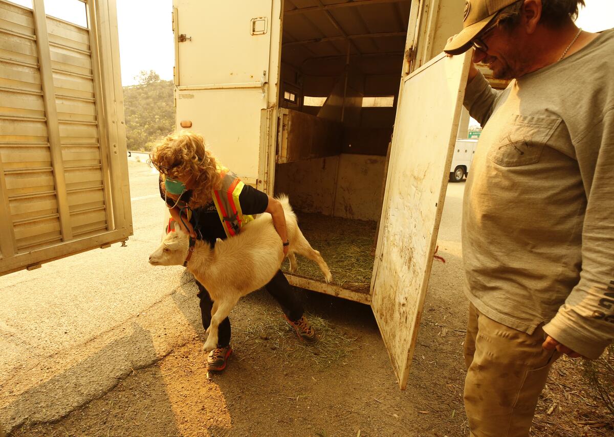
The couple keep cows, pigs, chickens, turkeys, goats, rabbits and other livestock at their farm. They were able to evacuate some of the animals, but not all, on Monday and Tuesday with the help of Santa Barbara County Animal Services.
“I’ve got a barn full of baby chickens right now,” Brian Stuart said, “and if it comes through there….”
He couldn’t finish the thought.
When you’re ordered to evacuate, you need to go as quickly as possible. Here are the essentials experts say to pack.
They weren’t the only ones whose precious belongings were hanging in the balance.
At an evacuation center at Dos Pueblos High School, Stefanie Alboff and wife Stacey Meredith sat with their 5-year-old son, Nash, unsure what to do.
The trio had been camping at Refugio State Beach since Thursday and left their trailer Monday afternoon to venture to a nearby restaurant. At the time, they had no idea they wouldn’t be able to return.
“When we left, there was no fire,” Alboff said. “We were only gone a few hours — that’s how fast it happened.”
The trailer holds everything they brought with them on their trip from the Sacramento area, they said, including their wedding rings.
“The most important thing is we’re all safe,” Alboff said as her son colored in a worksheet. But the second-most important thing was Frankie, his teddy bear, left waiting for him in the trailer.
The Alisal fire started Monday near the Alisal Reservoir in Santa Barbara County. Strong winds pushed the fire south toward the 101 Freeway.
Another ranch owner, Eric Hvolboll, stood at the top of a hill at the heart of his 746-acre property, La Paloma, as helicopters hovered overhead.
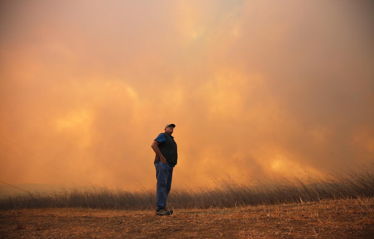
“It’s like LAX,” the 66-year-old joked, as one chopper after another lined up to dip into his reservoir and pull water for their hoses.
Flames were chewing through the brushy grasses of a nearby hillside, spewing white smoke as Hvolboll surveyed from above. Though the area was under evacuation orders, he and two employees stayed behind.
It was an all-too-familiar scene, Hvolboll said: The Sherpa fire burned nearly 700 acres of his land five years ago, killing about 900 of his 9,000 avocado trees and damaging 700 others. Drought and fire have left him with several thousand fewer trees than he had back then, he said, and he’s now transitioning some of his property into rows of drought-tolerant agave.
From his vantage point, he could see both the Alisal fire and his family’s home, built in 1902 by his great-grandparents.
“It’s part of the natural cycle,” he said of California’s fires, as another helicopter dipped down into the smoke.
As the state surpasses the grim milestone of 1 million acres burned, many experts fear that the arrival of gusty Santa Anas could mark even more destruction.
But the fight was far from over, with fire and weather officials warning that the fierce sundowners could continue for several more hours.
A wind advisory covering the burn area was in effect until 9 p.m. Tuesday, the National Weather Service said. Northwest to north winds of 15 to 30 mph were expected, with gusts up to 45 mph.
The winds, paired with heavy smoke, prompted an air quality watch in Santa Barbara County, with officials warning that gusts could stir up dust and ash.
Kathy Brown Tammietti, who evacuated from her ranch Monday, along with her husband, father and dog, said it was “like déjà vu,” because they were at the same hotel they stayed at when the Sherpa fire forced them to evacuate in 2016.
“It’s like a replay of everything that happened,” she said.
Her grandmother founded their ranch, Circle Bar B, in 1939, and over the years the property has hosted weddings, conferences and other events.
She feared that three events scheduled for this week would have to be canceled because of the fire, marking a significant loss of revenue, among other concerns.
“We took whatever we could,” Brown Tammietti said, “but you can only take so much when you have just a matter of an hour or so to get out of there, and you have a lifetime of valuables.”
More to Read
Sign up for Essential California
The most important California stories and recommendations in your inbox every morning.
You may occasionally receive promotional content from the Los Angeles Times.
