Getty fire: Winds expected to worsen during the day amid dry, dangerous conditions

- Share via
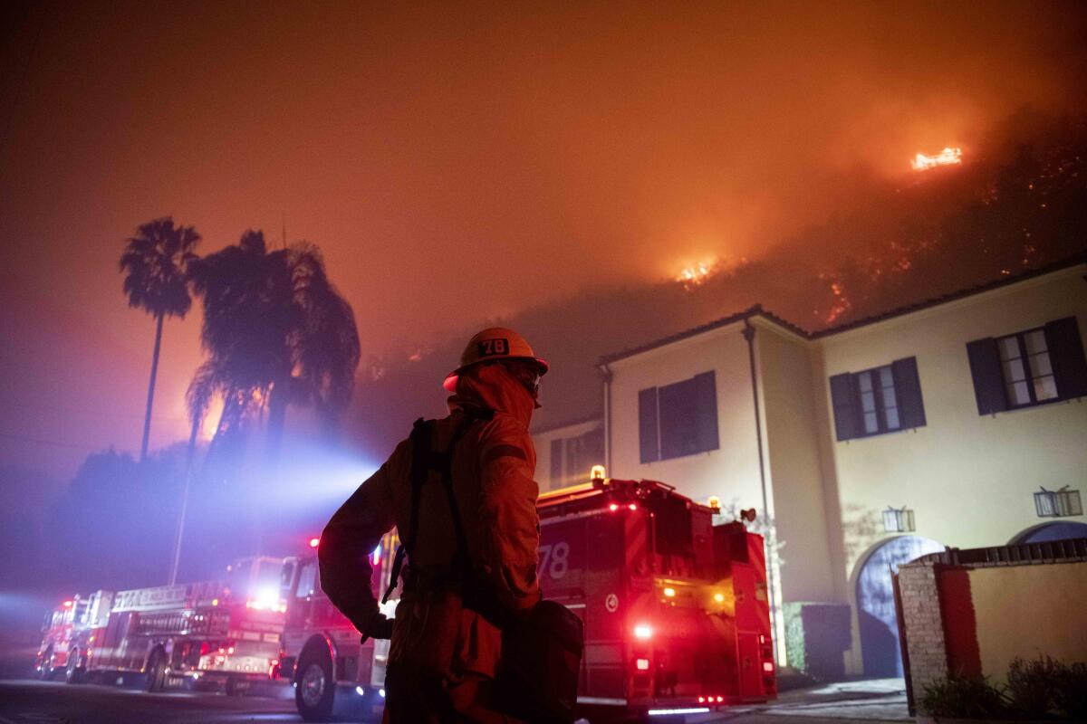
As the Getty fire was burning out of control early Monday, weather conditions were expected to worsen throughout the day.
Winds around 5 a.m. at Franklin Canyon Park east of the Sepulveda Pass were 10 mph, with gusts of up to 17 mph, with a relative humidity of 23%, which is relatively dry, forecasters said. But later in the morning, sustained winds from the northeast to the southwest could increase 20 to 30 mph, with gusts of up to 40 mph, National Weather Service meteorologist Lisa Phillips said.
It’s possible winds could reach up to 45 mph.
Even worse, minimum relative humidity could fall into the single digits, perhaps as low as 5%. Temperatures Monday are expected to top out in the upper 70s in the area.
“As we heat up, we’re not going to get any more moisture in the area. … It’s not going to get any more humidity,” Phillips said. “The winds are still going to be strong through the morning hours. Winds will likely start to decrease in the early afternoon.”
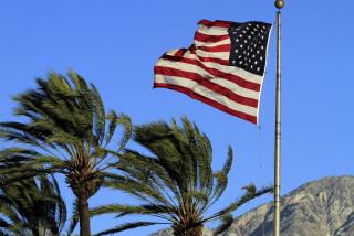
Fire weather conditions were fueled by a Santa Ana wind event — a weather phenomenon typical in Southern California during this time of year.
Santa Ana winds are caused when high-pressure desert air over Nevada and Utah seek a path through Southern California’s Transverse Ranges, which include the Santa Monica Mountains, to fill lower-pressure voids on the California coast.
As air falls in elevation toward sea level, the desert winds intensify; air is compressed and warmer winds are created. Santa Ana winds have identical meteorological counterparts called Diablo winds in the Bay Area, and the Jarbo Gap winds in the Sacramento Valley. A common name for all of them are downslope winds.
After fires are ignited, downslope winds have been responsible for the breathtakingly rapid spread of California’s most destructive wildfires. The three most destructive wildfires in modern California history — the Oakland-Berkeley hills fire in 1991, the Tubbs fire in wine country in 2017 and the Camp fire that destroyed the town of Paradise last year — were all spread by downslope wind events.
California’s fourth most destructive fire, the Cedar fire of San Diego in 2003, kindled for hours until a Santa Ana wind rolled in at midnight. By 3 a.m., the wind-driven fire had jumped a river and a reservoir and run nearly 17 miles. In that three-hour run, the fire spread an average of more than 19,600 acres an hour. Fifteen people were killed, and more than 2,800 structures were destroyed in that blaze.
The same high-pressure, low-pressure gradient last year set up a Santa Ana wind event that pushed the Woolsey fire into Malibu. Its pace in the first three hours was 21,290 acres an hour. The blaze destroyed more than 1,600 structures and caused three deaths.
In 2017, the Thomas fire — the 10th-most destructive fire in modern California history — began in Ventura County a day after a 14-day red flag warning event began. It exploded in growth more than a week after it started as it raced toward Montecito.
More to Read
Sign up for Essential California
The most important California stories and recommendations in your inbox every morning.
You may occasionally receive promotional content from the Los Angeles Times.


