Big storm slams SoCal: How long will it rain and when will it finally dry out?

- Share via
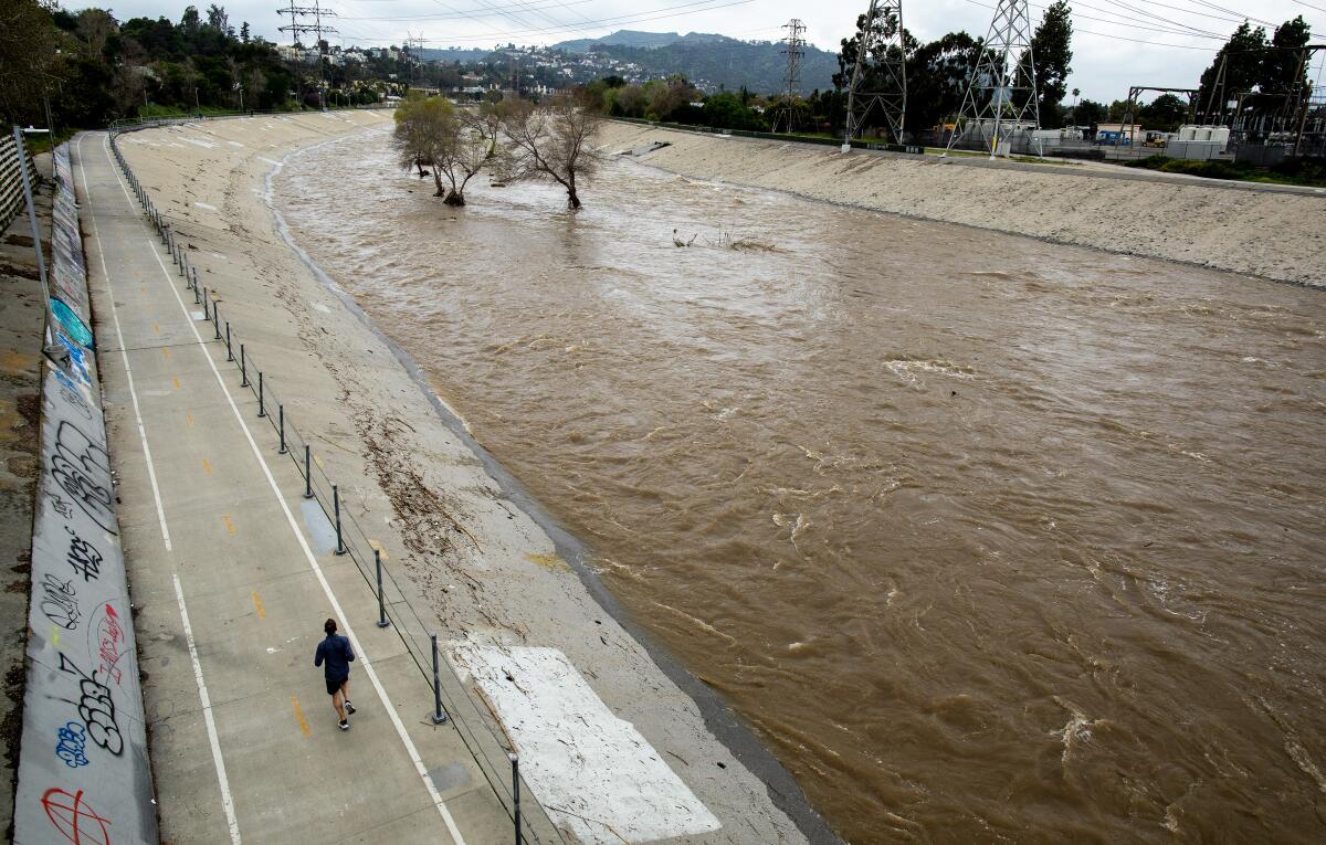
A new, powerful storm is rolling into Southern California this week, the latest in an epic year of rain and snow.
Here is a breakdown of what to expect and when the rain will end.
Timeline
Tuesday: Storm conditions will intensify in the Los Angeles area and across much of the Southland, National Weather Service meteorologist David Sweet said Monday.
“It really hits us hard tomorrow — that’s when we’re going to get the heaviest rain, the strongest winds and the heaviest snow in the mountains,” Sweet said.
Wednesday: Rains will taper off, with mostly cloudy skies by evening.
Thursday-Sunday: Conditions will clear, with clouds giving way to sun in many areas.
Next week: An unsettled pattern may begin again around Monday, Sweet said. “We have our eyes on another storm for early next week,” he said.
Impacts
- High temperatures will be 10 to 15 degrees below normal.
- Lower mountain and foothill areas around Los Angeles could see up to 4 inches of rain during the storm, with up to 3 inches possible along the coast and in the valleys.
- Up to 4 feet of snow is possible at elevations above 6,000 feet, with a significant threat of avalanches.
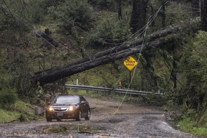
- Damaging winds — including gusts up to 60 mph along the coast and in valleys and up to 80 mph in mountain and desert areas — are possible, along with associated downed trees and power outages.
- Roadway flooding and potential landslides are possible in areas affected by the storm, including areas near wildfire burn scars.
- In Orange County and the Inland Empire, rainfall totals will probably range from 1½ to 2 inches.
- A fresh coat of snow is expected in the San Bernardino Mountains, including up to 3 feet or more of new powder in areas around Wrightwood and Big Bear Lake.
- The San Bernardino Mountains could see wind gusts of up to 75 mph.
- Additional showers will threaten to further saturate hillsides already thoroughly soaked after weeks of wet weather, and flooding is expected on low-lying roads and urban areas that have poor drainage. In San Clemente, several buildings were evacuated last week after a major landslide, and officials warned additional rain could exacerbate the danger.
One person was killed in the storm that brought widespread rain, gusts that knocked glass out of skyscrapers and left tens of thousands without power.
Analysis
UCLA climate scientist Daniel Swain described the storm as “an unusually rapidly strengthening low-pressure system” not often seen off the coast of California. The center of the system will probably cross over the San Francisco Bay Area, but the strongest winds and heaviest rain are expected to stretch from Monterey Bay “all the way south to the Mexican border,” he said.
The storm in Southern California will be associated with a moderate atmospheric river, while Northern California won’t have an atmospheric river component but will be affected by the low-pressure system itself, he said.
“This is going to bring a whole litany of concerns that are probably greater than we had initially anticipated a few days ago,” he said.
Tips
- How to drive in the rain
- Checking your flood risk
- How to stay safe during the big storm
- How to prepare for mudslides and debris flows
- How a mudslide happens
More to Read
Sign up for Essential California
The most important California stories and recommendations in your inbox every morning.
You may occasionally receive promotional content from the Los Angeles Times.


