Santa Ana winds will raise red flags on land and big waves off the coast, forecasters say

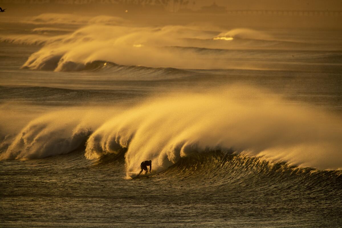
Strong, gusty Santa Ana winds expected to develop Sunday night will raise fire weather concerns on land and potentially some big waves off the Southern California coast, the National Weather Service said.
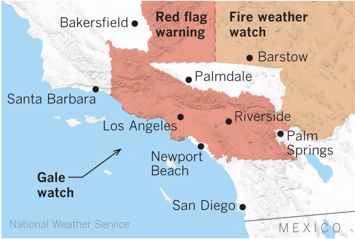
The prospect of the strongest, most widespread Santa Ana winds so far this season has led to the issuance of red flag fire warnings, most of which take effect in the early hours of Monday morning. Super-dry air will drive relative humidity down to the single digits, causing critical fire conditions late Sunday night through Tuesday. Fuels are extremely dry after months with virtually zero rain, so any new fires that start will grow rapidly and exhibit extreme fire behavior.
High-wind warnings and advisories, as well as fire weather watches, go into effect Sunday and Monday. Because of cold air associated with this event, the Antelope Valley could see its first freeze of the season in the early hours of Monday.
Cool Santa Anas such as this one usually produce stronger winds and affect more of the coastal waters.
Forecasters predict a 50% to 60% chance of gale-force northeast winds developing Sunday night through Monday from Ventura to Santa Monica, out to the Anacapa and Santa Cruz islands, through the San Pedro Channel and out to Catalina Island. A gale watch has been issued for these areas through Monday afternoon.
Dangerous conditions are likely for the harbors on Catalina and Santa Cruz, the weather service said. Steep, short-period wind waves between 4 and 6 feet are possible.

Northwest winds at an advisory level for small craft may develop in some outer waters Monday night into Tuesday.
Light offshore flow will continue through the rest of the week with a warming trend, but nights will be cool, especially inland, where there will be a chance of frost.
More to Read
Sign up for Essential California
The most important California stories and recommendations in your inbox every morning.
You may occasionally receive promotional content from the Los Angeles Times.


