From the Archives: 1938 storms change Los Angeles River
- Share via
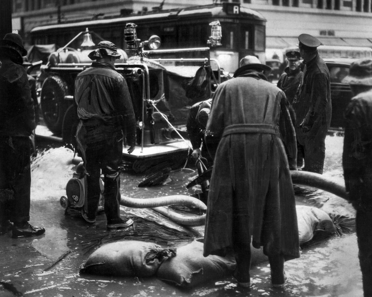
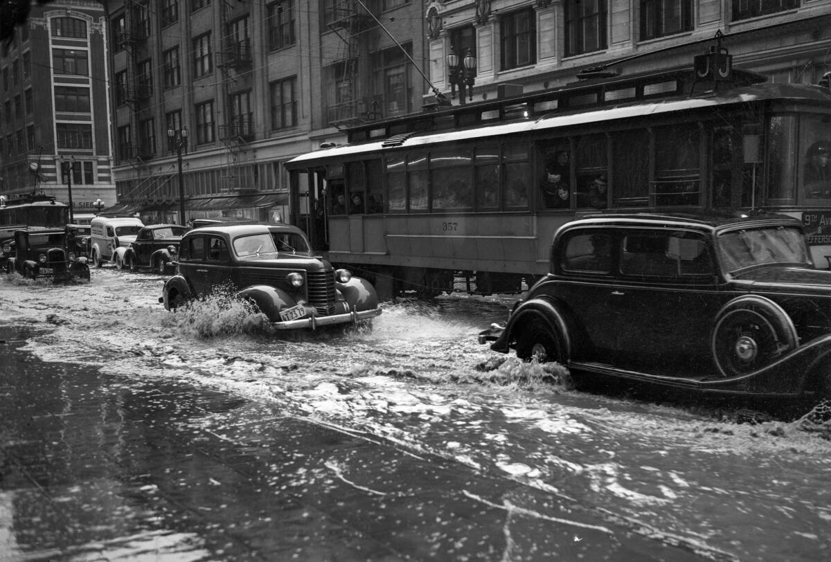
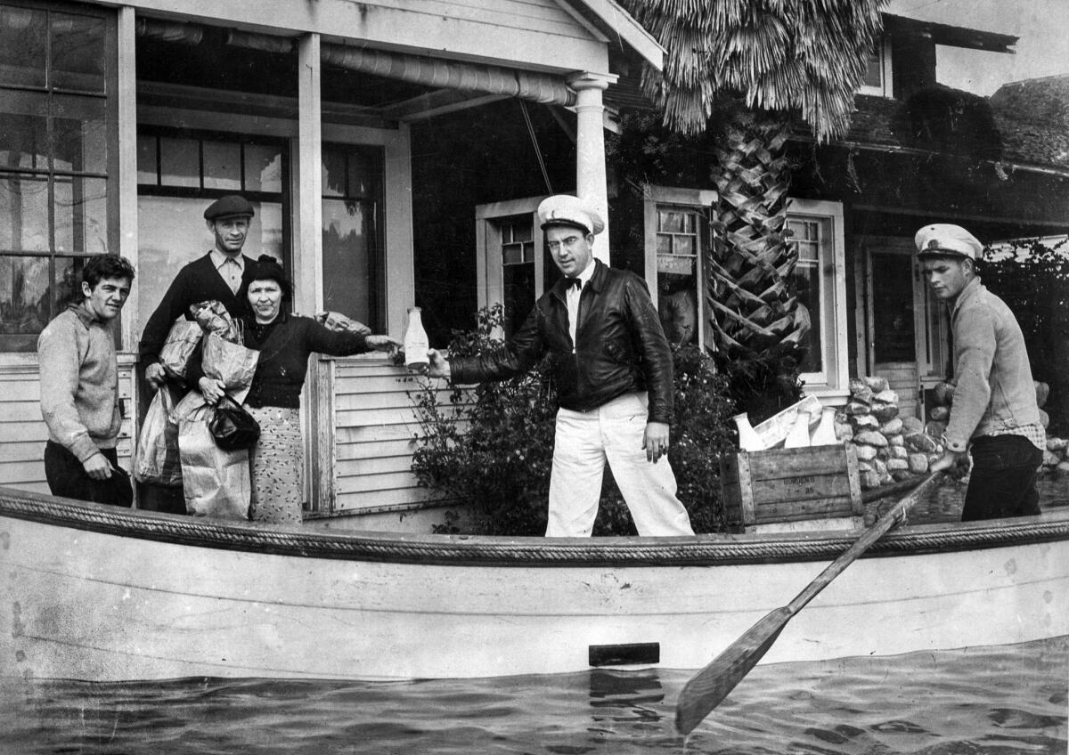
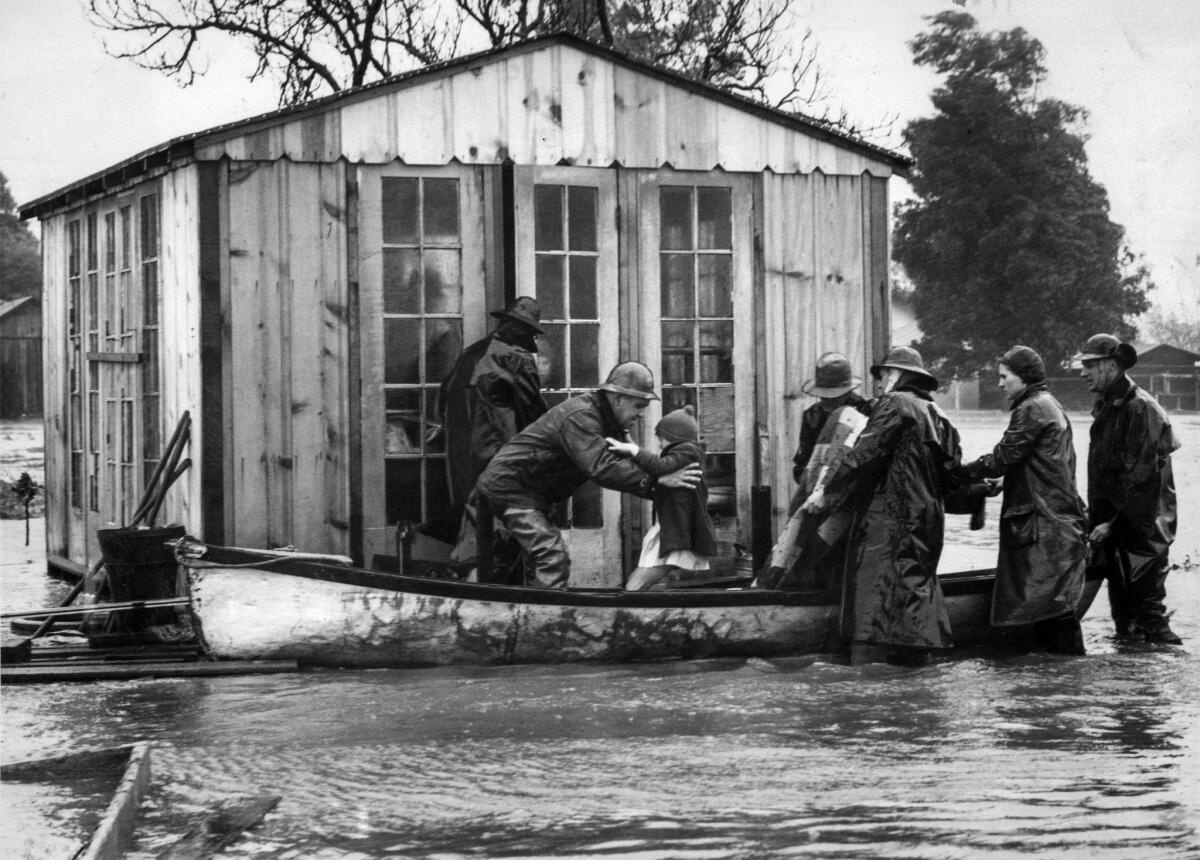
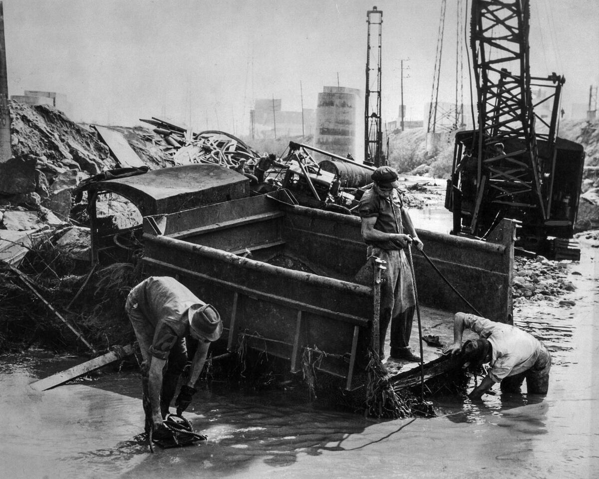
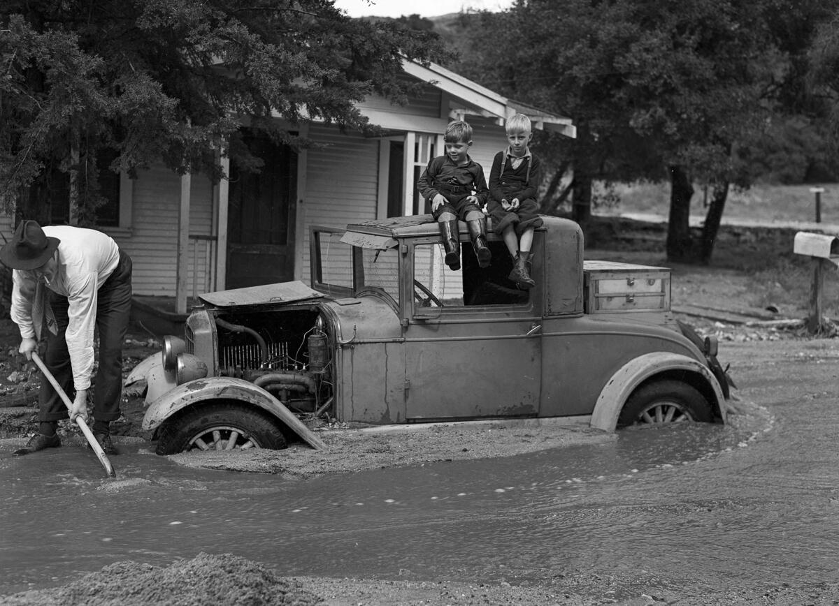
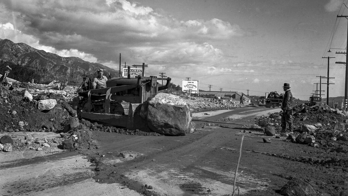
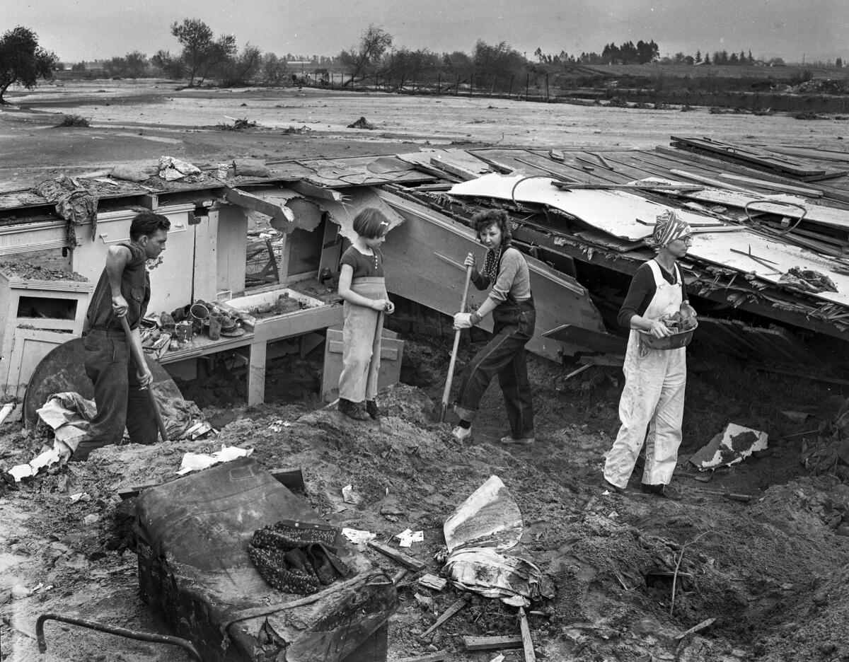
On Feb. 27 and 28, 1938, a storm soaked Southern California with 4.4 inches of rain. Late on March 1, a new, more powerful storm arrived, dropping 10 inches of rain in Los Angeles and more in mountain areas. Rivers overflowed and dozens of people were killed.
Local government agencies responded to the catastrophe by deciding to turn the Los Angeles River into a flood control channel.
In an Oct. 20, 1999, Los Angeles Times article headlined “Deadly Flood of 1938 Left Its Mark on Southland,” staff writer Kevin Roderick reported:
At the time, nobody knew to blame the fierce winter of 1938 on a distant Pacific temperature blip that would come to be called El Niño. All anyone knew was that a relentless flurry of rainstorms kept drenching Southern California.
That February, Los Angeles endured its most concentrated rain since the big floods of 1884. The month closed with a mean streak, dropping 4½ inches of rain in a nonstop deluge. When the bad weather seemed to break, the morning Times of March 2 congratulated the city for "the small amount of damage that has resulted."
Before those papers could be delivered, the rain had started up again, and the killer flood of the century in Los Angeles and surrounding counties was underway — a flood that would forever change the look of Southern California.
It was classic "torrent and inundation" — heavy rain fell on already saturated soil and mountainsides, ran off and rushed down creeks and canyons toward the lowest point on the landscape: the Los Angeles River.
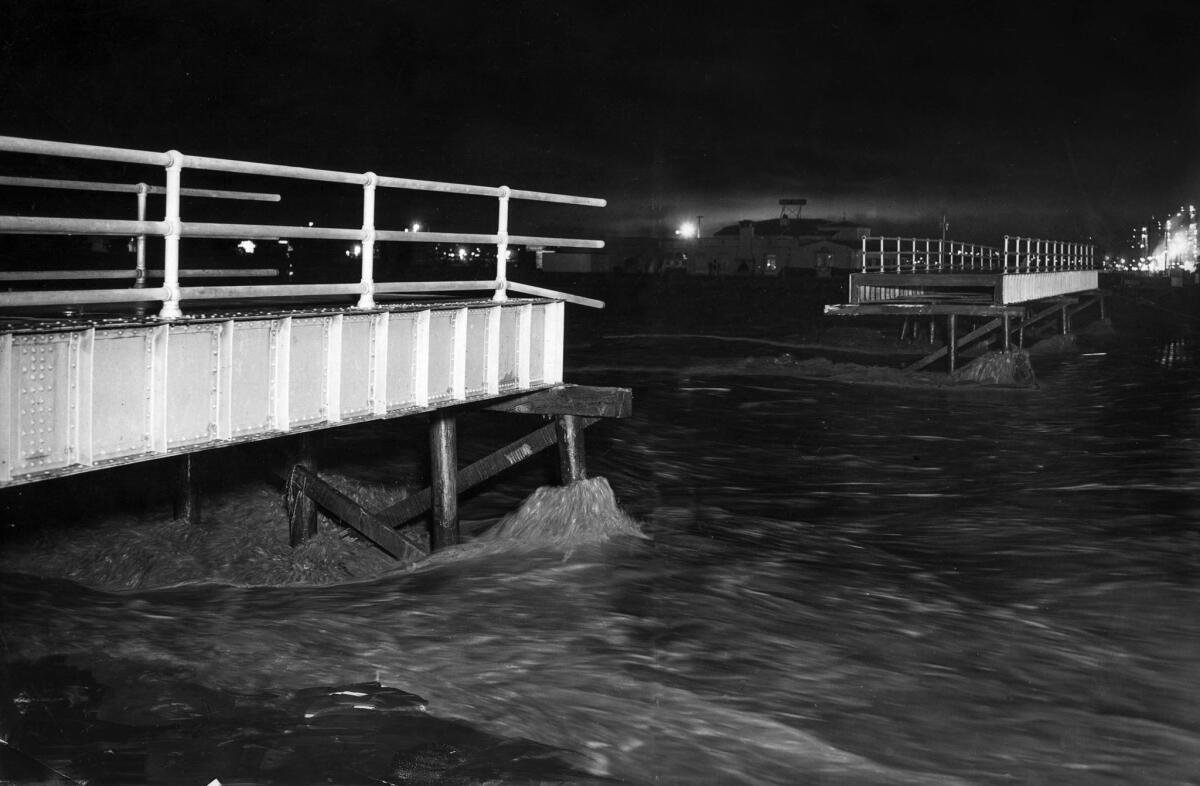
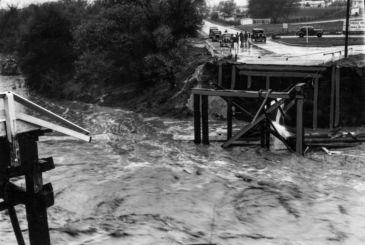
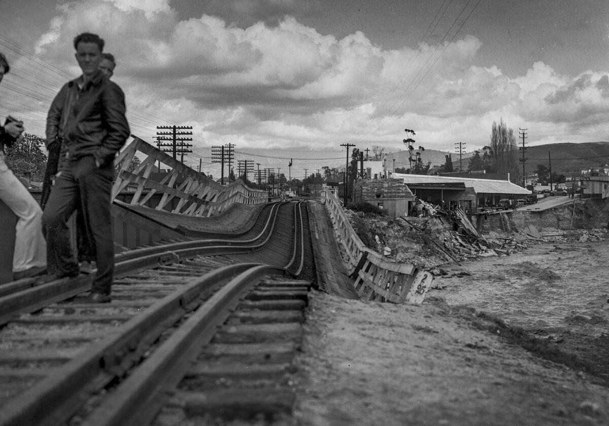
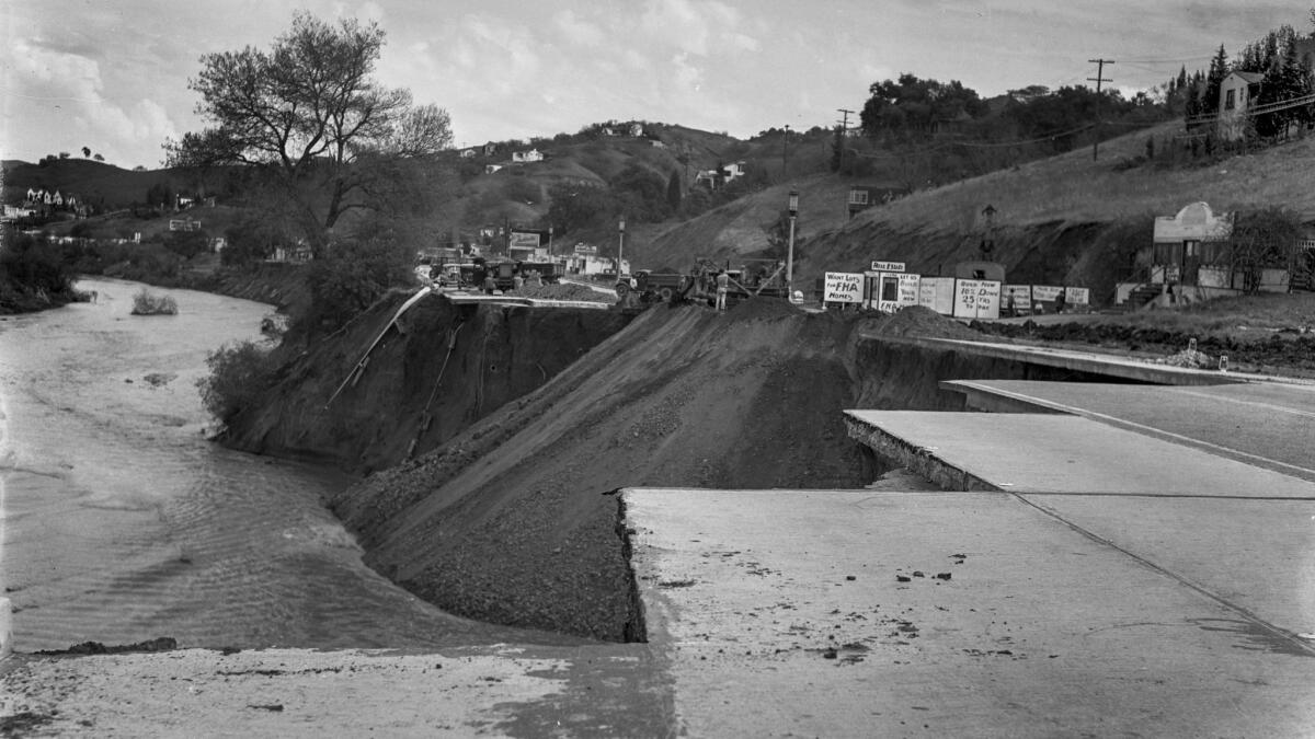
Early on March 2, the ranches and scattered towns in the San Fernando Valley — where the river begins — were cut off by engorged canyon washes spilling their banks. Bridges over the river were washed out by fast-rising swift water. The situation turned more dire when the gates were opened on Big Tujunga Dam, in the San Gabriel Mountains, to save the structure and avert a catastrophe. This released even more flood water across the lightly populated valley.
Five people died when the Lankershim Boulevard bridge at Universal City collapsed into the rolling river rapids. Warner Bros. and Republic studios were isolated by the spreading water, which knocked out the Pacific Electric Red Cars and railroad lines. Downstream, the rampaging river collected the swollen Arroyo Seco, the Rio Hondo and the runaway flow of dozens of other creeks and pushed southward toward the sea.
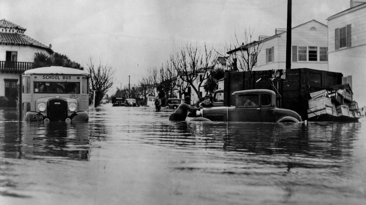
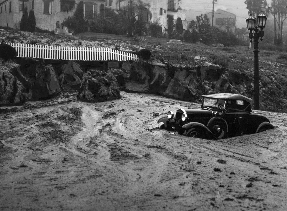
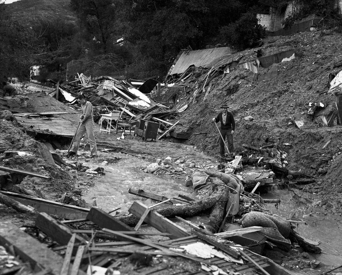
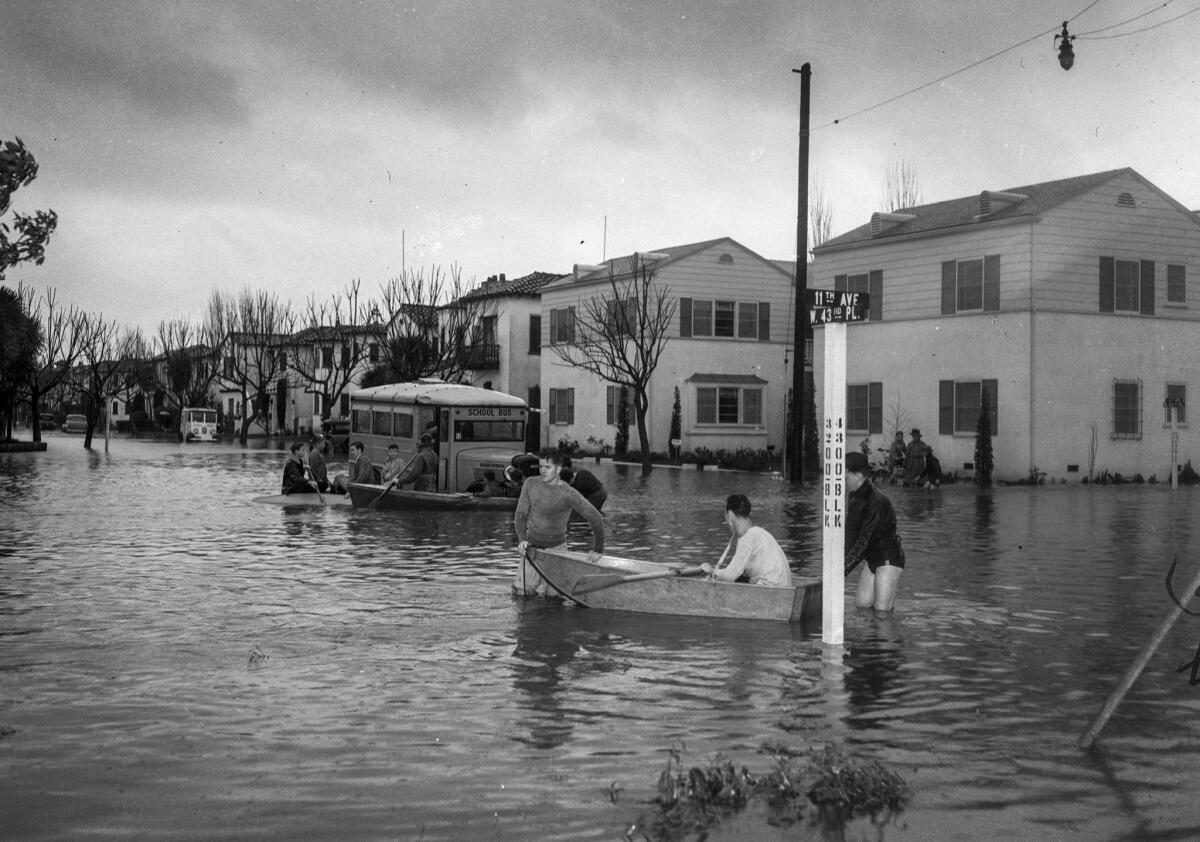
Overflow inundated a swath of low-lying towns and farmland between downtown Los Angeles and the port at Long Beach. Away from the river, swollen creeks and washes flooded Venice, Echo Park and other areas of Los Angeles. In Orange County, the Santa Ana River rampaged across the coastal plain, submerging large areas beneath muddy water.
The rain stopped falling by 7 p.m. March 3, after dumping 11 inches in five days. But the mountains were not finished disgorging. The Los Angeles and the Santa Ana rivers continued to rise, sweeping dozens of victims to their deaths from Anaheim to Riverside.
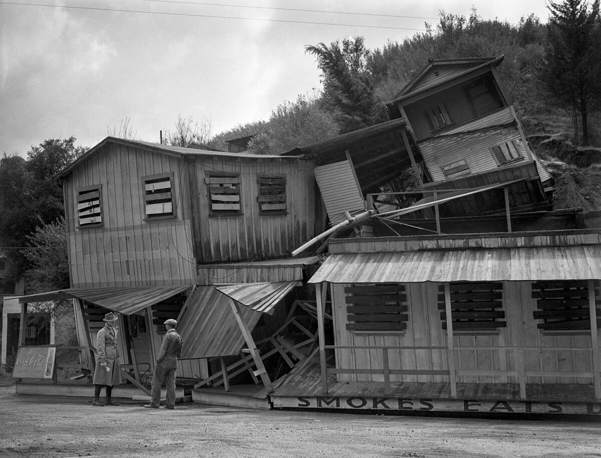
At least 96 people died across Southern California, the toll scattered among several counties. The dead included five members of a family in North Hollywood; a family in Orange County lost three children. More than 1,500 homes in Los Angeles alone were rendered unlivable, and 3,700 residents were sheltered by relief agencies. Schools were closed for two days.
As bad as it was, hysterical radio reporters described catastrophes that never occurred. One announcer reported that Calabasas was wiped off the map. Another shrieked that an auto tunnel in Newhall had collapsed. It was true that so many Hollywood stars were stranded at their ranches in the Valley and elsewhere that the Academy Awards presentation scheduled at the downtown Biltmore Hotel was postponed for a week.
The 1938 flooding proved to be more than a tragedy or even a historic curiosity. It altered forever Southern California's relationship with the elements. Intense rainfall and flash flooding were as much a part of the region's natural cycle as hot summers and Santa Ana winds. But this was the first major flood to occur since the population boom of the 1920s and '30s put neighborhoods in the path that storm runoff had followed for eons. Suddenly, the political will appeared to spend millions of dollars on a network of flood control dams and concrete channels that would become the Los Angeles area's definition of a river.
The most dramatic result was the capture — some would argue the death — of the wild Los Angeles River. Rather than let the river meander between muddy banks lined with willow trees, barely a trickle in spots for most of the year, the channel was dug deeper and wider and encased in concrete.
Today, the volume of the river channel through the county seems absurdly large — and it is usually so dry that it has been suggested as a route for mass transit. But on those infrequent occasions when the trickle erupts into a torrent, the water stays contained.
It's a trade-off Angelenos still do not fully accept. The river provided all the drinking water Los Angeles needed for more than a century, and supported enough steelhead that grizzly bears came out of the hills to feast on the trout. At the end of this century, people still debate whether to let the river run free again.
Most of the images in this photo gallery were scanned from the original 4 x 5-inch negatives.
This post was originally published on Dec. 12, 2014.
Sign up for The Wild
We’ll help you find the best places to hike, bike and run, as well as the perfect silent spots for meditation and yoga.
You may occasionally receive promotional content from the Los Angeles Times.


