Advertisement
Filters
Map
List
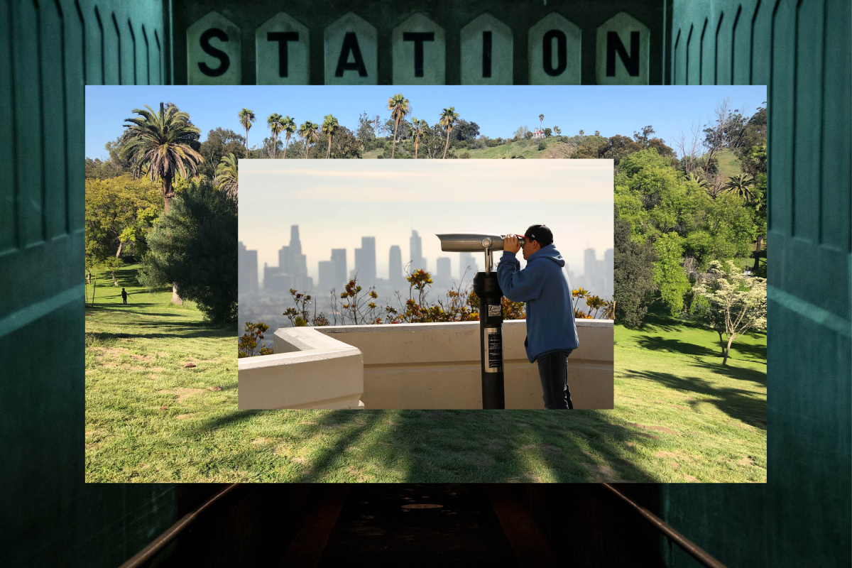
Collage of a Union Station platform entrance, a field at Elysian Park and a telescope in use at Griffith Observatory.
(Brian van der Brug/Los Angeles Times; Christopher Reynolds/Los Angeles Times; Al Seib/Los Angeles Times)

8 L.A. hikes you can get to from Union Station

L.A.’s biggest hiking buzzkill?

When you have to get into a vehicle, battle traffic, search for a parking spot and feed a meter, just to arrive at the start of a trail.

Luckily, the city has many beautiful hiking and walking trails accessible via public transit. And the hub of all public transit is Union Station, which opened in 1939 and is the largest passenger rail terminal in the western United States, home to L.A.’s Metro subways, light rail and buses, the Southern California regional Metrolink rail service and nationwide Amtrak service.

So the next time you’re pondering where to go for your nature fix, think outside the car: These eight treks can be reached by foot from Union Station or by transit from the terminal. Bonus: You can get some pre- or post-hike fuel at Traxx Bar & Restaurant or Homebound Brew Haus inside the station, which is an architectural marvel in itself.

Just remember, this is L.A., so getting to your destination may not always be super convenient. If you want better connectivity with the parks, advocate for it. Write to city officials. Because experiences in nature shouldn’t be reserved for people with cars.
Showing  Places
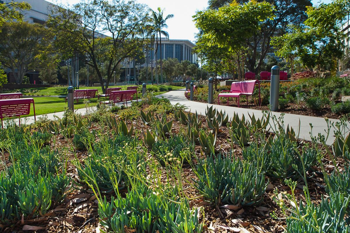
Grand Park's gardens are a great spot to relax or meet others.
(Richard Radstone)

Grand Park

Downtown L.A. Park
When the 12-acre Grand Park in downtown Los Angeles was renovated and re-opened in 2012, activists hoping for a more open, bucolic space were disappointed that Hill Street and Broadway still divided the green area into three smaller portions cut through by traffic. Still, no one would argue that the renovation isn’t a vast improvement: A terraced lawn is landscaped with drought-tolerant plants from around the world, and there is a beautiful interactive fountain, plenty of shade and places to sit and explore and a robust calendar of programs, festivals and events. Open every day from 5:30 a.m. to 10 p.m.

Get there by foot: It’s a 0.6 mile walk from Union Station, and you can stroll through the nearby El Pueblo de Los Angeles Historical Monument (L.A.’s birthplace) on your way.
Get there by rail: Take the B or D (Red or Purple) line to Civic Center/Grand Park.
Read All Read Less
Route Details
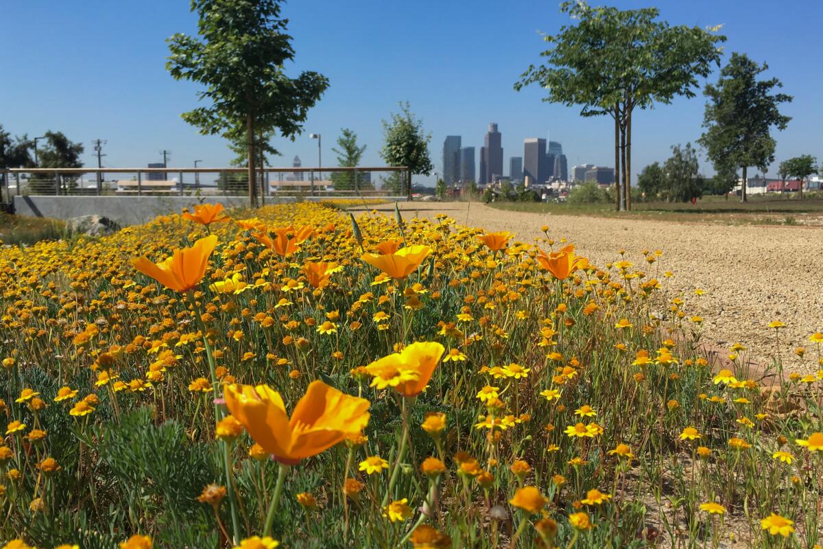
California poppies bloom near the center of Los Angeles State Historic Park.
(Casey Schreiner)

Los Angeles State Historic Park

Chinatown Park
Built atop a former railyard, Los Angeles State Historic Park is in many ways what advocates were hoping Grand Park would be. The process to revive this industrial area began in 2001, and on Earth Day 2017, the 34-acre park opened to the public with wide open spaces, native landscaping and remnants of the area’s history, including 19th-century pavers and a view of the Zanja Madre — the circa-1791 ditch that brought irrigation water from the L.A. River into the fledgling community. Today, the park hosts campfires, kite festivals, art installations and even big name concerts as the activated community space it was designed to be. Open 8 a.m. to sunset.

Get there by foot: The southern entrance is a 0.8 mile walk from Union Station. Take extra time to wander through the Pueblo de Los Angeles before heading to Chinatown via Spring or Alameda streets.
Get there by rail: Take the Metro L (Gold) line toward APU/Citrus College and get off at Chinatown Station. The southern entrance is right off the bottom of the platform’s steps.
Read All Read Less
Route Details
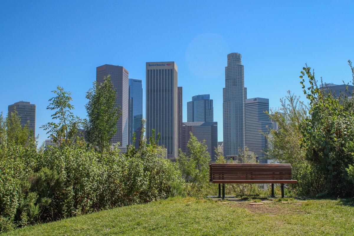
This bench in Vista Hermosa Natural Park is one of the most popular photo-shoot areas in the city's parks.
(Casey Schreiner)

Vista Hermosa Natural Park

Echo Park Park
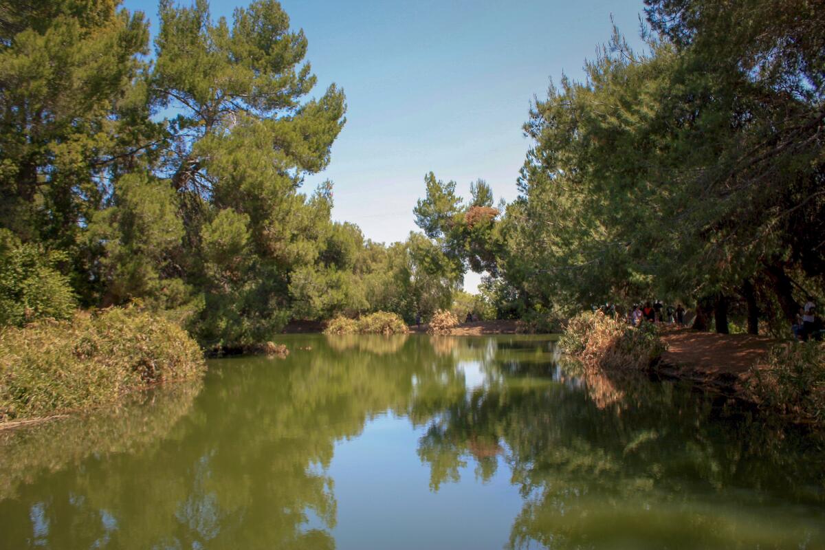
Tucked away between Historic Filipinotown and the 110 Freeway is a hidden oasis of lushly landscaped native plants, streams, meadows, playgrounds, an outdoor amphitheater and soccer fields. And it happens to have one of the city’s best views of downtown. Managed by the Mountains Recreation & Conservation Authority, the park offers a true taste of our sage scrub landscape and is a great spot to visit any time of the year. It’s also a frequent jumping-off point for transit-to-trails bus shuttles to the Santa Monica Mountains. Open dawn to dusk.

Get there: Take the B or D (Red or Purple) Line to Civic Center/Grand Park. Board the 10 Bus toward Melrose/Vine at Hill and 1st streets. Exit the bus at Temple/Edgeware. Walk south on Edgeware Road, then take a right on Court Street and a left on Toluca Street to enter the park’s western gate.
Read All Read Less
Route Details
(Casey Schreiner)

Ernest E. Debs Regional Park

Montecito Heights Park
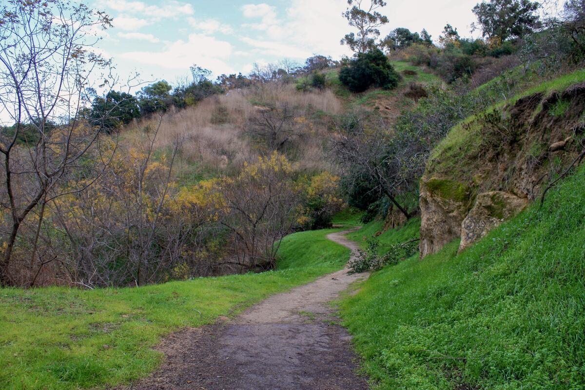
Ernest E. Debs Regional Park is an expansive open space on the banks of the Arroyo Seco, and it packs a lot into its 282 acres, including picnic areas, playgrounds, miles of cycling and hiking trails, a small pond with beautiful views and the Audubon Center at Debs Park, a truly thriving community hub with tons of programs and even free bird-watching kits. You can hike almost the entire trail network on a fun 5.2-mile loop. The park is open dawn to dusk; the Audubon Center is open 8 a.m. to 4 p.m. daily except Tuesdays.

Get there: Take the Metro L (Gold) line toward APU/Citrus College and get off at the Southwest Museum stop. Head east and cross Figueroa Street to the Sycamore Grove Park Playground. Walk through the park to the northern end, where a pedestrian footbridge crosses the Arroyo Seco Parkway. Then head south on South Avenue 52/Griffin Avenue to the Audubon Center.
Read All Read Less
Route Details
Advertisement
The trails in Elysian Park can still provide moments of peace and quiet
(Casey Schreiner)

Elysian Park

Elysian Park Park
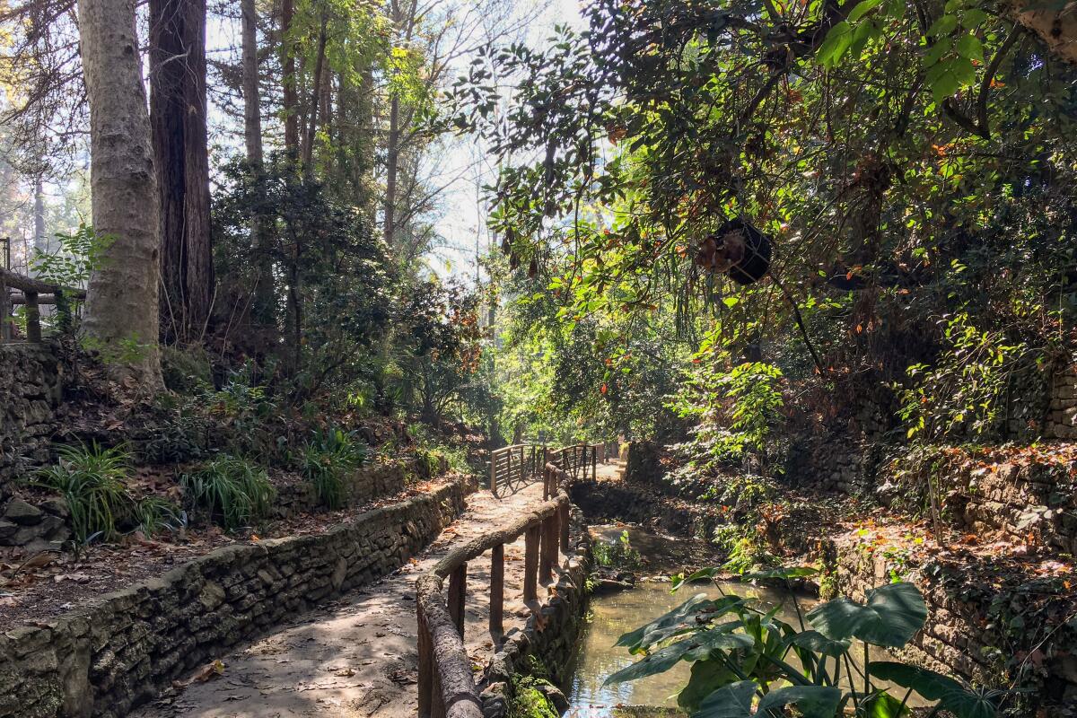
Northeast of downtown, Elysian Park is best known as the home of Dodger Stadium (and its enormous parking lot). But it’s also one of the city’s oldest and largest parks, and it has some lovely hiking, especially around its perimeter. Start near the Victory Memorial Grove on Elysian Park Drive just north of Lilac Place and explore the park’s western edge, heading north past Grace E. Simons Lodge and the Elysian Park Arboretum to the Marian Harlow Memorial Grove. If you still have gas, carefully cross Stadium Way (shockingly, there is still no crosswalk here) and continue east for a fun loop that ends at Angel’s Point, where you’ll get more terrific views of the city and some truly iconic palm tree views along Angels Point Road. The Park is open sunrise to sunset.

Get there: From Union Station, walk through the Pueblo to Cesar E. Chavez Avenue and Broadway. Take Metro Bus 4 toward Santa Monica and get off at Sunset/Douglas. Head north on Douglas Street to upper (westbound) Lilac Terrace, then walk east until you reach Elysian Park Drive.
Read All Read Less
Route Details
Fern Dell is a lovely, shaded entrance to Griffith Park
(Casey Schreiner)

Griffith Park, Western Canyon

Los Feliz Park
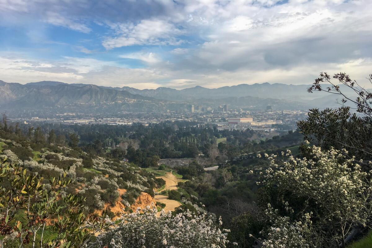
Griffith Park is the city’s largest and most wild park, and thankfully, there is at least one major entrance that’s relatively easy to get to on transit. From the B (Red) Line Hollywood/Western stop, head north on Western Avenue. It’s just two blocks until you reach the famous bear statue and the entrance to Fern Dell — a shaded and peaceful canyon that is arguably the best entry to the park on foot. From here, you’ll have lots of hiking options: Continue on the Observatory Trails to Griffith Observatory or head north past Trails Café and the playground to the West Trail, which you can take up to the Berlin Forest or all the way to Mt. Hollywood. The park is open 5 a.m. to 10:30 p.m.

Get there: From Union Station, take the B (Red) Line toward North Hollywood and exit at Hollywood/Western. Head north on Western Avenue until it turns into Los Feliz Boulevard, then enter the park on Fern Dell Drive.
Read All Read Less
Route Details
Ceanothus blooms on the hillsides near Beacon Hill in Griffith Park.
(Casey Schreiner)

Griffith Park, Parkline and DASH Observatory shuttles

Griffith Park City park
Over the last several years, Griffith Park has made great strides in making the park more accessible for those without a car. The DASH Observatory shuttle runs from 10 a.m. to 10 p.m. daily from the Vermont/Sunset B (Red) Line station, taking riders to Griffith Observatory and the Greek Theatre. From the observatory, hike to the Berlin Forest, Mt. Hollywood and other places north; from the Greek Theatre, head east to Glendale Peak and Beacon Hill. On weekends, the free Parkline shuttle will take you to the northern and eastern parts of the park, opening up hikes to the Old L.A. Zoo, Bee Rock and more, as well as the Autry Museum,Travel Town and the Los Angeles Zoo.

Get there: From Union Station, take the B (Red) Line toward North Hollywood and exit at Vermont/Sunset. TheDASH Observatory shuttle departs from here, making stops inside the park.
Read All Read Less
Route Details
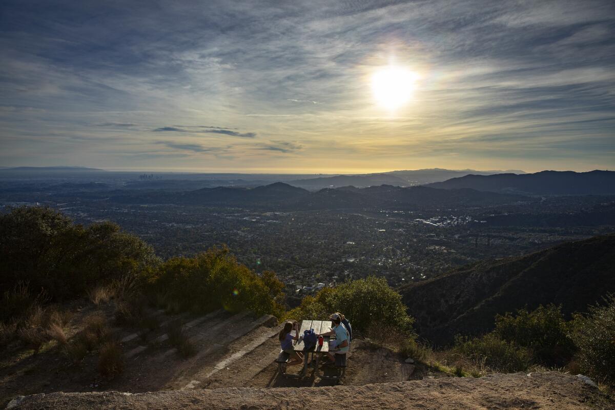
Hikers take in the views from a picnic bench atop Echo Mountain in Altadena.
(Brian van der Brug / Los Angeles Times)

Echo Mountain

Altadena Mountain Trail
The trek to Echo Mountain is a beloved and iconic L.A. hike, and for good reason. It’s a quick, steep, moderately difficult climb into the San Gabriel Mountains, and if the incredible and rugged views aren’t enough, you also get to explore the ruins of the fabled Echo Mountain House and Mount Lowe Railway. It’s all that‘s left of a once-sprawling complex of wilderness resorts and attractions that stretched deep into the mountains.

Get there: Take the Metro L (Gold) Line toward APU/Citrus College and get off at the Del Mar station in Pasadena. Hop on the Metro 660 bus toward Fair Oaks–Loma Alta and get off at Fair Oaks/Wapello, then walk to the corner of Loma Alta Drive and Lake Avenue.
Read All Read Less
Route Details
Advertisement