10 truly magnificent hikes in California’s state parks
- Share via
Other states may have high mountains, vast deserts and scenic shorelines. California? It has a park system that contains all of it.
Ancient redwoods grow along the mist-covered edge of the continent. The alpine beauty of the Sierra Nevada towers above Emerald Bay and Sugar Pine Point state parks on the shores of world-famous Lake Tahoe. Thirty warm, sandy state beaches from San Diego to Santa Barbara beckon visitors from across the Southland and around the world.
The California state parks system — widely regarded as the nation’s finest — showcases a fabulous array of nature’s handiwork: giant sequoias in Calaveras Big Trees State Park; the rare Torrey Pines making a last stand in a natural reserve near San Diego; palm oases in Anza-Borrego Desert State Park; some of the tallest trees on Earth in Jedediah Smith Redwood State Park.
Planning your weekend?
Stay up to date on the best things to do, see and eat in L.A.
This multitude of intriguing environments, and the many fine paths that explore them, add up to some world-class hiking adventures.
I confess to being more than a little obsessed by California state parks and am likely the only one crazy enough to have hiked and written about all 280 of them. I love sharing my passion for them, but it’s often challenging to do because of the public’s poor name recognition of the parks. Over the last couple decades, I’ve asked several thousand Californians to “name five California State parks” and less than 5% can do so. Surprising to me, many of these baffled respondents are outdoorsy Californians, the kind of people who come to my talks or who I meet on the trail.
More than 100 parks offer great hikes — nature walks, family hikes, all-day adventures — on some 3,000 miles of trail. I’d love to share ‘em all with you, but let’s start out with 10 of my favorites — a representative and diverse sampling of parks from greater L.A. (Chino Hills State Park) to San Francisco Bay (Angel Island State Park), from the Gold Country (Malakoff Diggins State Historic Park) to the Wine Country (Sugarloaf Ridge State Park), from the bottom of the Central Valley (Great Valley Grasslands State Park) to the top of an alpine peak (Mt. San Jacinto State Park). If you want even more, check out my book “Hike California State Parks: A Day Hiker’s Guide.”
You’re sure to enjoy hiking in these parks — even if you’re like most Californians and can’t remember their names.
A few notes:
- State historic parks, state natural reserves, state recreation areas and state beaches are part of the system though we often refer to all 280 as “state parks.”
- Dogs are prohibited on state park trails.
- Entry fees vary. Typical day-use parking cost is $10, though it will cost you more at popular beach parks. At remote parks and from many trailheads, parking and entry is free.
- You can find detailed visitor information, including updates about closures and travel delays, at the official California State Parks website. To learn ways to protect and preserve the California state park system, visit the California State Parks Foundation.
Mt. San Jacinto State Park
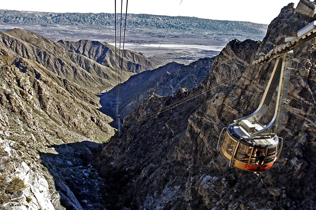
I guarantee this classic hike to one of the Southland’s most prominent peaks is one you’ll long remember. Imagine hiking in Switzerland while gazing down at the Sahara.
Obtain a wilderness permit at the State Park Ranger Station then head west on the trail toward Round Valley. The path parallels Long Valley Creek through a mixed forest of pine and white fir, climbs into lodgepole pine country via vigorous switchbacks, then leads past a stone shelter hut to the summit. The panorama — San Gorgonio Pass, the shimmering Pacific, the Colorado Desert, distant Mexico — has struck some hikers speechless while others found superlatives. John Muir called the view “the most sublime spectacle to be found anywhere on this earth!”
Note that while the hike is free, the gondola ride costs $30.95 for adults and $18.95 for children ages 3 to 10.
Chino Hills State Park
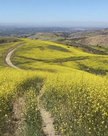
Forty years later, the park, now expanded to 14,000 acres, seems like a bargain and nowhere is this more apparent than on the trail to park high point San Juan Hill. Hiking along South Ridge Trail you soon realize you’re trekking on an island on the land, surrounded by highways and cities. Farther up the trail, most traces of civilization vanish and you enter a wonderfully pastoral landscape of rolling grasslands and drifts of oak. Deer gambol through the high grass, hawks circle overhead and the refreshing breeze (often) keeps the temperature down.
The climb leads over hills covered with wild oats, rye, mustard and wild radish to the top of San Juan Hill (1,781 feet) and unobstructed views of the surrounding countryside and suburbanopolis beyond.
Park along Rimcrest Drive, 0.3 miles northwest of Fairmont Boulevard in Yorba Linda.
Dockweiler State Beach
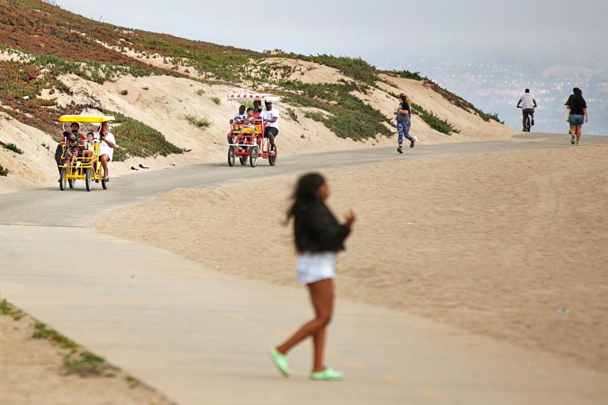
Visiting a sand strand right below the takeoff path from LAX, with jets ascending under full power thrust, is an undoubtedly unique experience. Some beachgoers say that after an hour or two, they tune out the constant high-decibel roar. Others are incredulous that people come here at all. But lots of people do; Dockweiler is one of the busier beaches in SoCal, boasting more than 2,000 parking spaces, picnic areas, volleyball courts, barbecue pits, a hang-gliding practice area, a concession stand, and … well, you get the idea.
Hike some or all of the 3.75-mile long, wide, sandy beach that extends from El Segundo to Playa del Rey. Dockweiler adjoins beaches located up-coast and down along Santa Monica Bay so you could hike all day if you choose — or at least travel to shores where the boom of the breakers muffle the roar of jet traffic.
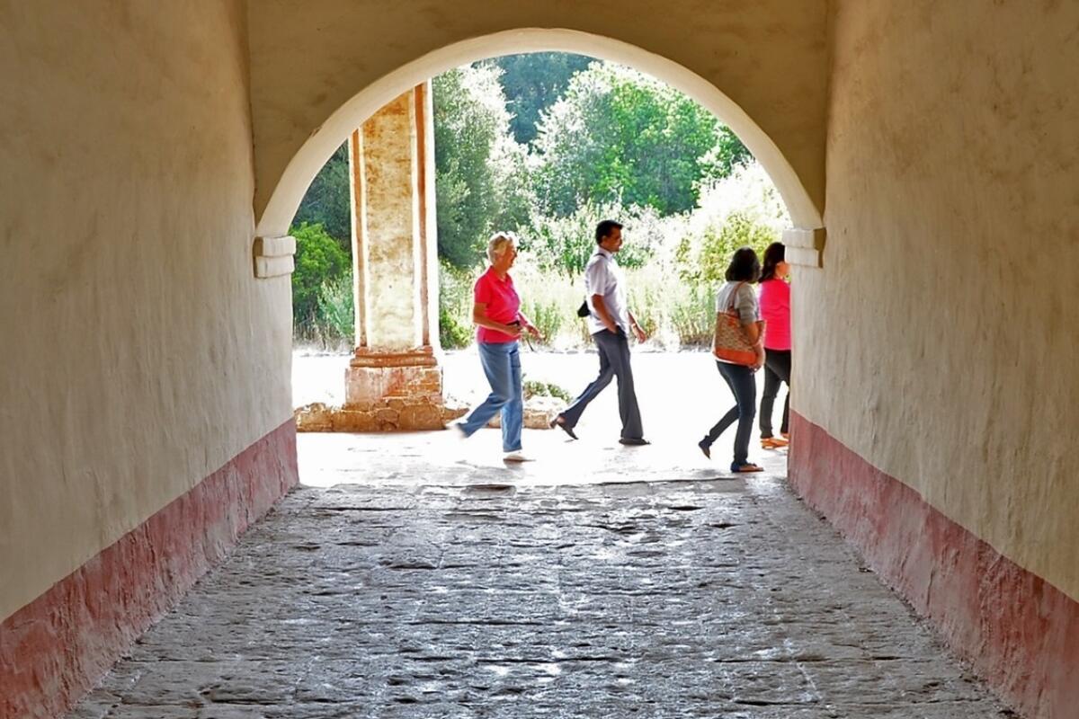
La Purísima Mission State Historic Park
Wandering the 1,000 acres of hill and dale preserved in the state park helps you grasp that apart from the mission’s religious purpose, it was a large commercial enterprise as well — an early 19th century agribusiness. You’ll hike where crops were grown and cattle grazed, view the mission’s far-flung waterworks system, and even see the ruts that are reminders of where the old El Camino Real passed through the mission compound. (After your hike, be sure to check out the park’s large visitor center and its exhibits about Spanish colonists, padres and the often-devastating effects of mission life on the native Chumash.)
For an easy mission tour, stick to the park’s flatlands by joining El Camino Real and returning via Las Zanjas Trail for a circuit of 3 miles. Add narrower, steeper Huerta Mateo and Mesa Arenosa trails to the hike for a fine 5-mile loop.
Pfeiffer Big Sur State Park
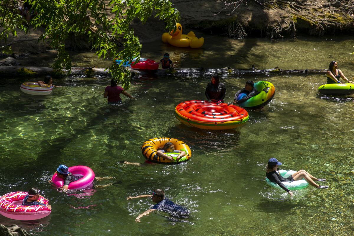
Pfeiffer and its popular trail system is dominated by the Big Sur River, which meanders through redwood groves on its way to the Pacific Ocean 5 miles away. The hike to Pfeiffer Falls is a fine family hike and offers a good introduction to the delights of the state park. (Pfeiffer Falls Trail is the quick way to go but is closed for repairs; fortunately there is an attractive alternate route.)
Valley View Trail ascends through a tanbark oak and coastal live oak woodland and along a minor ridge. A 0.3-mile-long spur trail leads to a lookout. The Santa Lucia Mountains, the Pacific Ocean pounding the Point Sur headlands and the Big Sur River Valley are part of the fine view.
The path then drops into stately redwoods. A stairway leads to an observation platform at the base of the falls, which cascades over a 60-foot precipice into a small grotto.
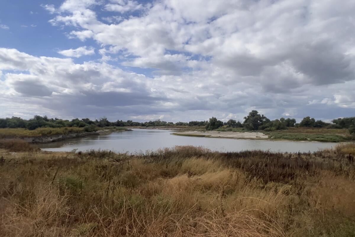
Great Valley Grasslands State Park
A native bunch grass prairie, vernal pools and a slow, lazy length of the San Joaquin River are highlights of the park, which seems even larger than its 2,700 acres because it’s bordered by state and federal wildlife refuges. By linking a couple of levy roads (closed to vehicles), hikers can fashion a 6-mile tour of the great grassland as well as the willow- and cottonwood-lined San Joaquin River that winds slowly in a series of sloughs and oxbows through it.
Even a shorter walk is rewarding. You’ll pass quiet pools frequented by ducks and migratory waterfowl and soon feel wrapped in a very special world where the silence is broken only by the rustling of the grass.
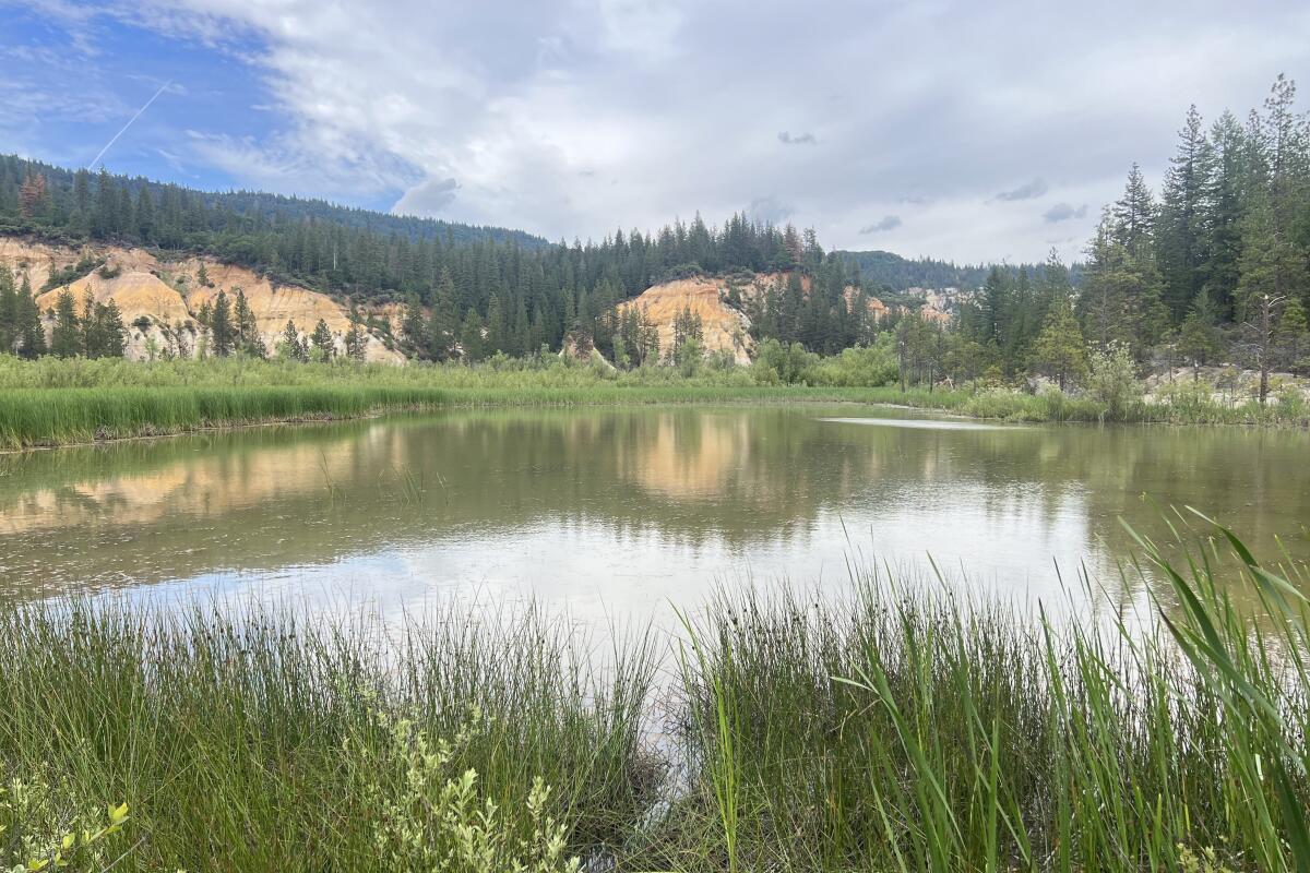
Malakoff Diggins State Historic Park
The park is the site of what was once the world’s largest hydraulic gold mine. Spraying vast amounts of water under high pressure onto gold laden gravels, miners created quite a pit — and profit — for the mine owners. Between 1866 and 1884, some 41 million cubic yards of earth was excavated, yielding several million dollars’ worth of gold. The amount of erosion and subsequent environmental damage caused by hydraulic mining was astonishing. In one of the great landmark cases in early conservation history, a judge ruled against dumping tailings into the Yuba River, all but ending hydraulic mining in 1884. (Don’t miss seeing what remains of the small mining town of North Bloomfield and visiting the park’s excellent museum.)
Diggins Loop Trail offers panoramas of the pit and its surrounding colorful cliffs, views of the spectacular erosion, both human and natural, that shaped this land. You’ll pass grassy flats bedecked with wildflowers, thickets of manzanita, slopes forested with sugar and ponderosa pine, then circle the cattail-crowded shores of Diggins Pond.
Angel Island State Park
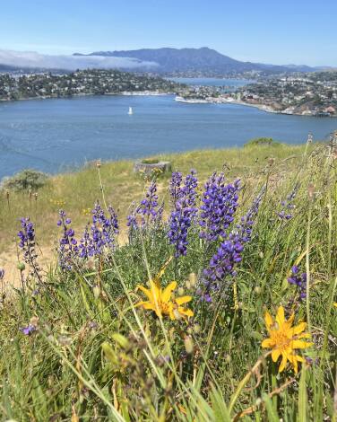
On your hike, you’ll discover Angel Island has an extremely diverse history — especially for an island barely a square mile in size. Trails lead to military fortifications and a quarantine center for soldiers who returned from overseas duty with tropical diseases. Also en route is an immigration station that operated from 1910 to 1943 that was designed mostly to process (and often deny) Chinese immigrants.
Don’t miss the turnoff for Sunset Trail, which switchbacks up steep coastal scrub-covered slopes to the top of 781-foot Mt. Caroline Livermore, where you’ll find picnic tables and a terrific 360-degree panorama of San Francisco Bay and the Golden Gate.
Sugarloaf Ridge State Park
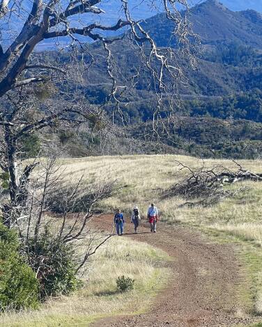
More than 75% of 3,900-acre Sugarloaf Ridge State Park was burned by 2017 and 2020 wildfires. On a more positive note, the park has made a surprisingly vibrant recovery. The park is operated solely by Sonoma Ecology Center, a community nonprofit that offers guided hikes: forest bathing walks, botany walks, full moon hikes and family hikes.
My favorite hike is a loop via Bald Mountain, Vista, Gray Pine and Meadow trails that offers terrific views extending from Napa Valley vineyards to the snowy peaks of the Sierra Nevada. As you ascend, observe that chaparral blankets the highest ridges except in the vicinity of aptly named Bald Mountain. The park’s high point is instead surfaced with grass and bluish green rock (serpentine).
From the top of 2,729-foot Bald Mountain, enjoy the view of the Wine Country below, Mt. St. Helena above. Look to the southwest for Mt. Tamalpais and the Golden Gate Bridge and 50 miles to the southeast for mighty Mt. Diablo. On especially clear days, the panorama includes the High Sierra and Point Reyes.
Jedediah Smith Redwoods State Park
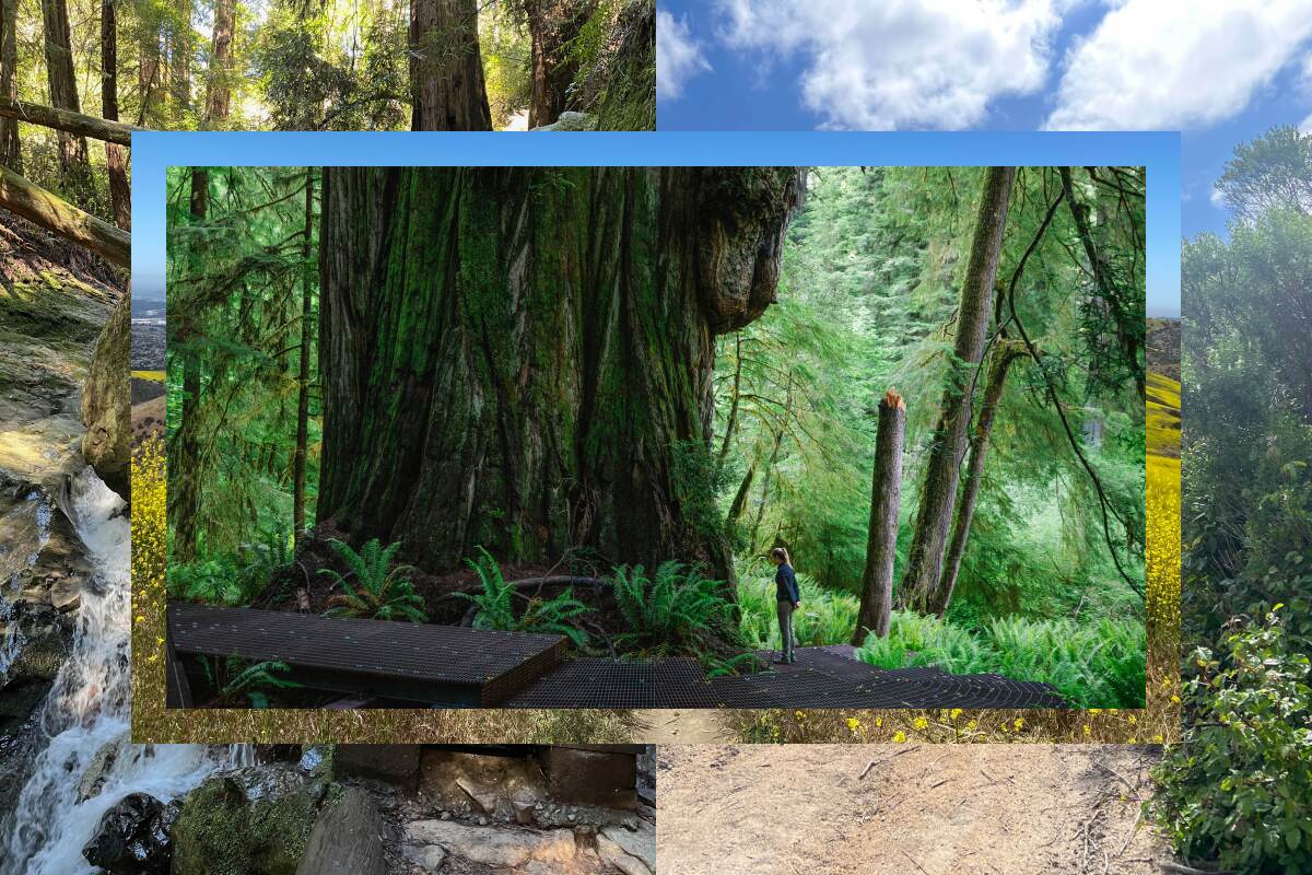
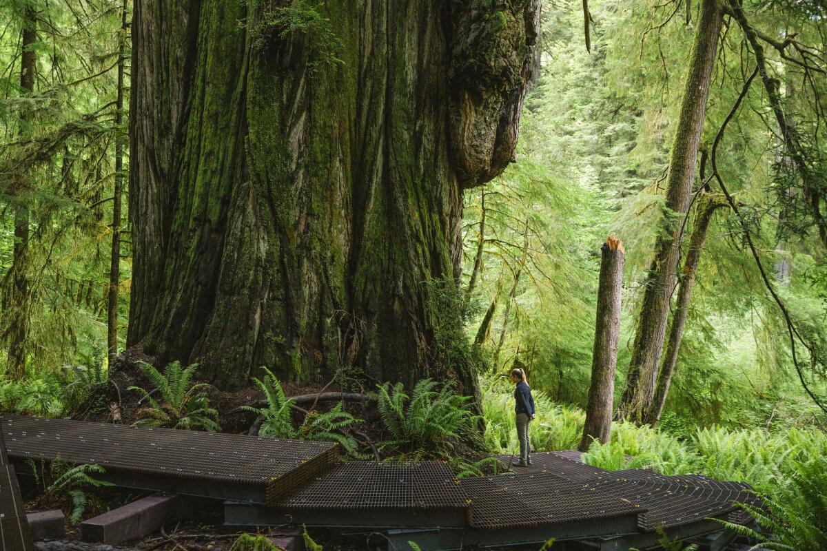
Researchers tried to keep the grove a secret — an impossible endeavor given social media and the number of people obsessed with finding the world’s tallest trees. In their quest to see the Titans, many trampled understory plants and walked roughshod over the redwood’s shallow roots.
To protect the trees, California State Parks constructed an elevated boardwalk to the Grove of Titans in 2021 (marked on this map). If I didn’t know the reason for the new route, I would call the trail “over-engineered” with all those steps and elevated walkways. But in context, keeping in mind that it’s fast becoming the most popular trail in the redwoods, I’ll acknowledge that a narrow footpath of the kind many hikers prefer just wouldn’t do.
The largest tree in the grove, Del Norte Titan, towers 307 feet and ranks as the world’s fifth-largest coast redwood. (There’s a case to be made that it’s the largest based on a “single-stem” measurement.) If you want to leave the crowds behind, hike Mill Creek Trail another 2 miles amid mossy woodlands to a lovely redwood grove and the banks of the Smith River, California’s only undammed river.
Sign up for The Wild
We’ll help you find the best places to hike, bike and run, as well as the perfect silent spots for meditation and yoga.
You may occasionally receive promotional content from the Los Angeles Times.


