How to get around that buckling bridge in Big Sur (hint: it won’t be easy)
- Share via
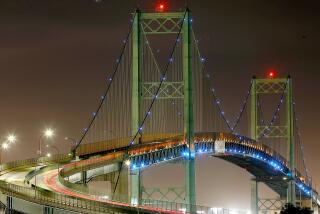
This is the span that connects us to Big Sur — or used to. The sinking Pfeiffer Canyon Bridge on Highway 1 has left locals and one of the most beloved places on the coast cut off from the rest of us after heavy winter rains pounded the area in mid-February.
The gap in California’s coastal route is likely to persist for at least a year until the bridge is replaced.
What can you do in the meantime?
You could drive to the southern side of the bridge closure, make a big inland loop, and restart your trip on the other side. That would be about a 250-mile detour (which you can’t do right now, but more on that later).
That route includes a lot of backtracking and traveling east on California Highway 46 to Paso Robles, north on the 101 Freeway to Salinas, southwest to Monterey (you have a choice of roads) and south on Highway 1 to the other side of the broken bridge.
Of course, you can choose to visit either the north or south side of the closure without having to stop and start at the bridge.
But you won’t be able to attempt that crazy-long detour until repairs are completed on other parts of Highway 1.
Stretches have been closed in both directions after mud and rock slides caused serious damage at places like Ragged Point and near the towns of Gorda and Lucia.
Caltrans has been working on fixing the road and hopes to reopen some parts as soon as next week.
Until then, check on status of Highway 1 closures online at Caltrans’ QuickMap to plan your trip.
ALSO
California’s coastal Highway 1 is now temporarily closed in several places after recent storms
This is what the storm damage in Yosemite looks like, and this is what it means
More to Read
Sign up for The Wild
We’ll help you find the best places to hike, bike and run, as well as the perfect silent spots for meditation and yoga.
You may occasionally receive promotional content from the Los Angeles Times.


