This new satellite could produce the most accurate weather predictions yet
- Share via
Now that’s science we can all get behind!
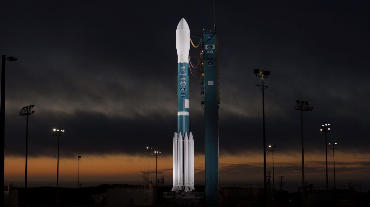
The Joint Polar Satellite System-1, a joint project of
(A few previously scheduled launches have been scrubbed, however, so we’ll see what happens.)

Once JPSS-1 makes it into orbit, its suite of five state-of-the-art instruments will collect the most high-resolution observations yet of our planet’s atmosphere, land and oceans, NOAA officials said.
“These instruments are so precise that they can measure temperatures to better than one-tenth of a degree in the entire atmosphere, from the Earth’s surface up to the edge of space,” said Greg Mandt, director of the JPSS program for NOAA.
The data these sensors collect will be fed into weather prediction models in almost real time. Ultimately, it will inform the seven-day forecasts you see when you hit the weather app on your phone, or turn on the morning news to decide whether or not to grab an umbrella.
JPSS-1’s observations will also help forecasters predict and study major weather events and allow them to better advise communities about when they need to evacuate because of a hurricane or whether a school or workplace should call a snow day.
JPSS-1 is what’s known as a polar orbiting satellite. It flies 512 miles above Earth at speeds of about 17,000 mph in an orbit that takes it from pole to pole. Because the planet continues to spin beneath it, JPSS-1’s instruments will scan the entire globe twice each day.
The instruments aboard JPSS-1 include the Advanced Technology Microwave Sounder, which can peer through the clouds to measure atmospheric temperature and moisture.
The Cross-track Infrared Sounder (CRiS) measures the same things in much greater detail, but can only collect data in cloud-free areas.
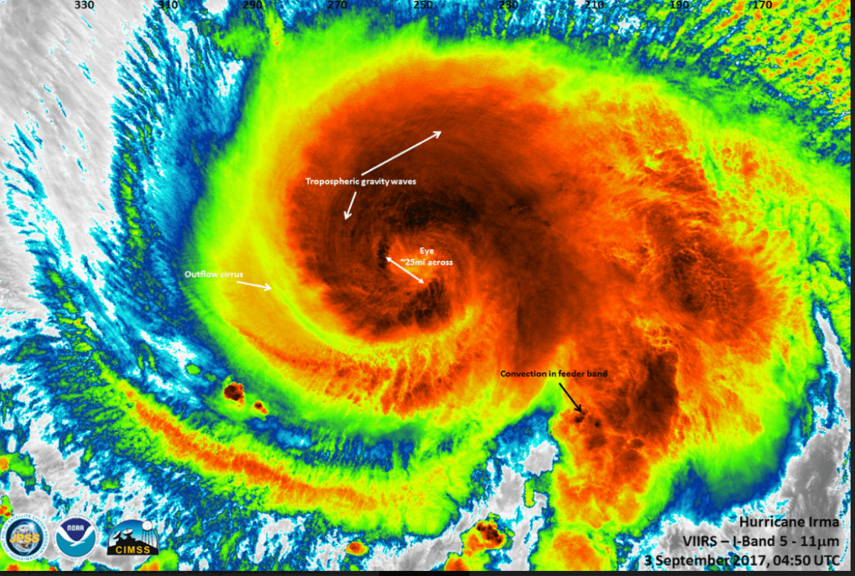
The Visible Infrared Imaging Radiometer Suite (VIIRS) instrument is used for weather forecasting and environmental assessment such as determining sea surface temperatures or tracking floods and fires.
Those super-sharp hurricane images you may have seen in the last few months were taken by the same instrument currently flying on another satellite.

JPSS-1 also has the Ozone Mapper and Profiler Suite (OMPS), which tracks the health of the ozone layer and helps monitor dangerous ultraviolet radiation that could increase our risk of cancer.
Finally, the Clouds and the Earth's Radiant Energy System (CERES) will measure the reflective sunlight and thermal radiation emitted by clear or cloudy skies above the Earth.
Mandt explained that all these instruments are designed to work in tandem to inform how we respond to weather.
“For example, VIIRS can tell us the location of a fire and track the smoke plume, while the CRiS instrument can measure the carbon monoxide and methane emanating from the fire, allowing us to see where the air quality may affected,” he said.
Mitch Goldberg, chief scientist for JPSS-1, said the new satellite sensors are so sensitive that they could detect a fire in the wilderness that is just 25 feet by 25 feet.
Louis Uccellini, director of the
“This gives them the high level of confidence that they need to make critical decisions that protect American lives and property,” he said.
Do you love science? I do! Follow me @DeborahNetburn and "like" Los Angeles Times Science & Health on Facebook.
MORE IN SCIENCE
Fires, droughts and hurricanes: What's the link between climate change and natural disasters?
A wake, some prayers and a little retail therapy: How NASA engineers mourn the death of a spacecraft
Scientists prove that the public pays attention to journalism


