Despite fire after fire, Paradise continued to boom — until California’s worst wildfire hit
- Share via
Reporting from PARADISE, Calif. — When Greg Bolin arrived in Paradise in 1967, the Sierra Nevada foothill town was too small to require traffic lights.
It felt unplanned and slightly spontaneous. Rustic wood-sided cabins sprouted up along winding, often narrow, roads — the kind of place you could live in for decades and still not know all its secrets.
“It just kind of evolved over the years,” said Bolin, the town’s vice mayor and also a builder.
“Was it something I would design? No, not at all. It was something we had to live with.”
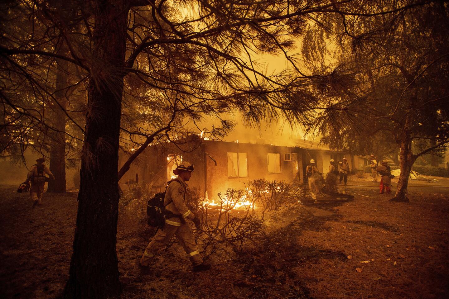
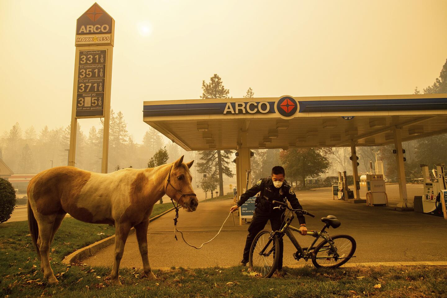
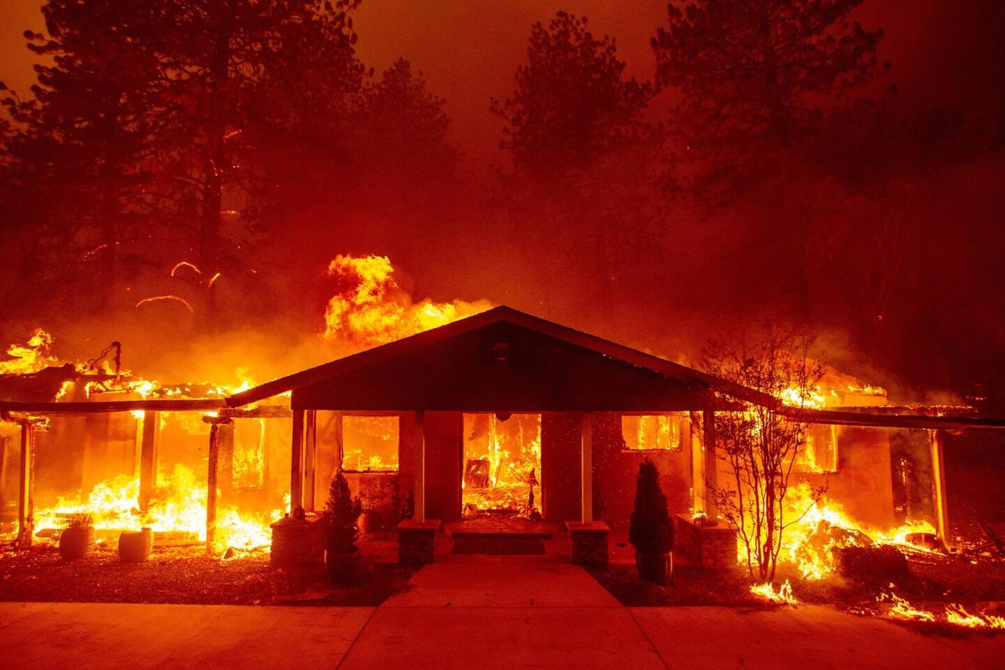
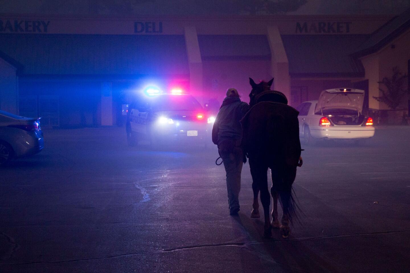
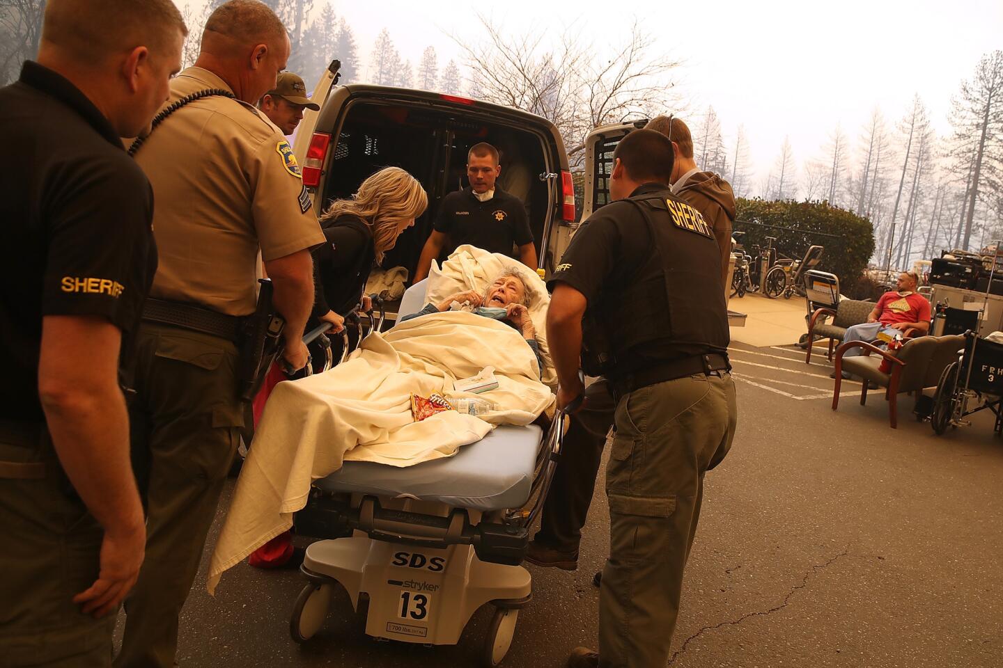
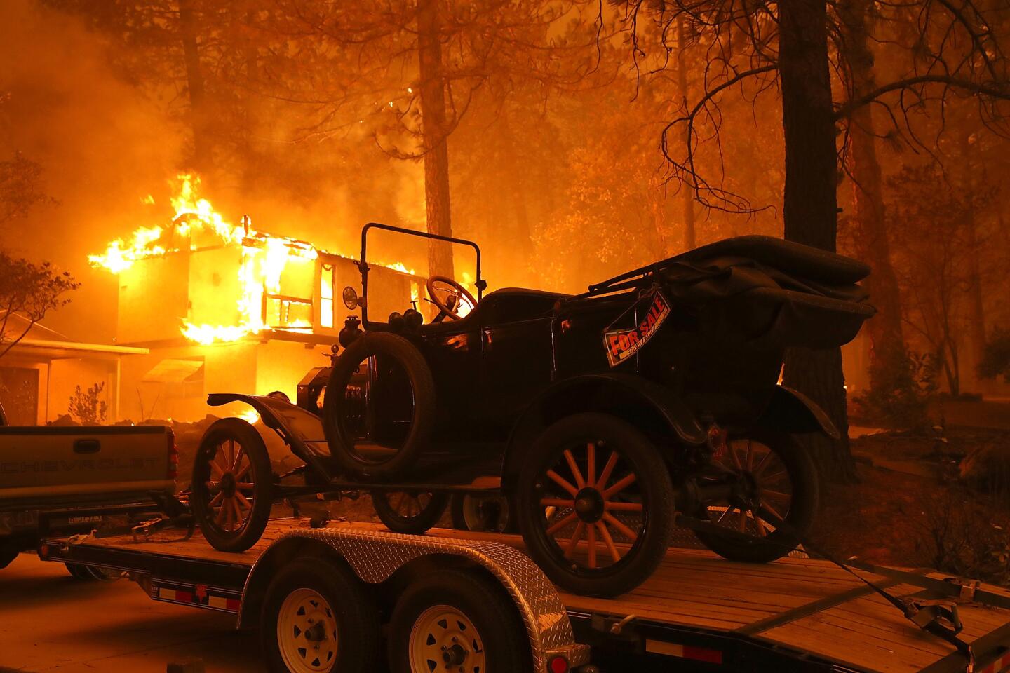
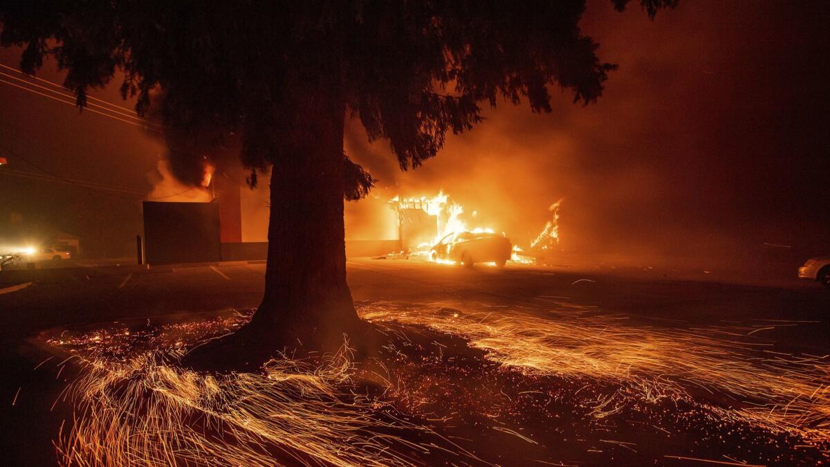
Bolin was part of the mass migration four decades ago that ultimately set up the Sierra ridge town for tragedy. Everyone wanted to live in Paradise. When a massive wildfire swept through its streets Thursday, fleeing residents became trapped by bumper-to-bumper traffic. Masses tried to flee on foot.
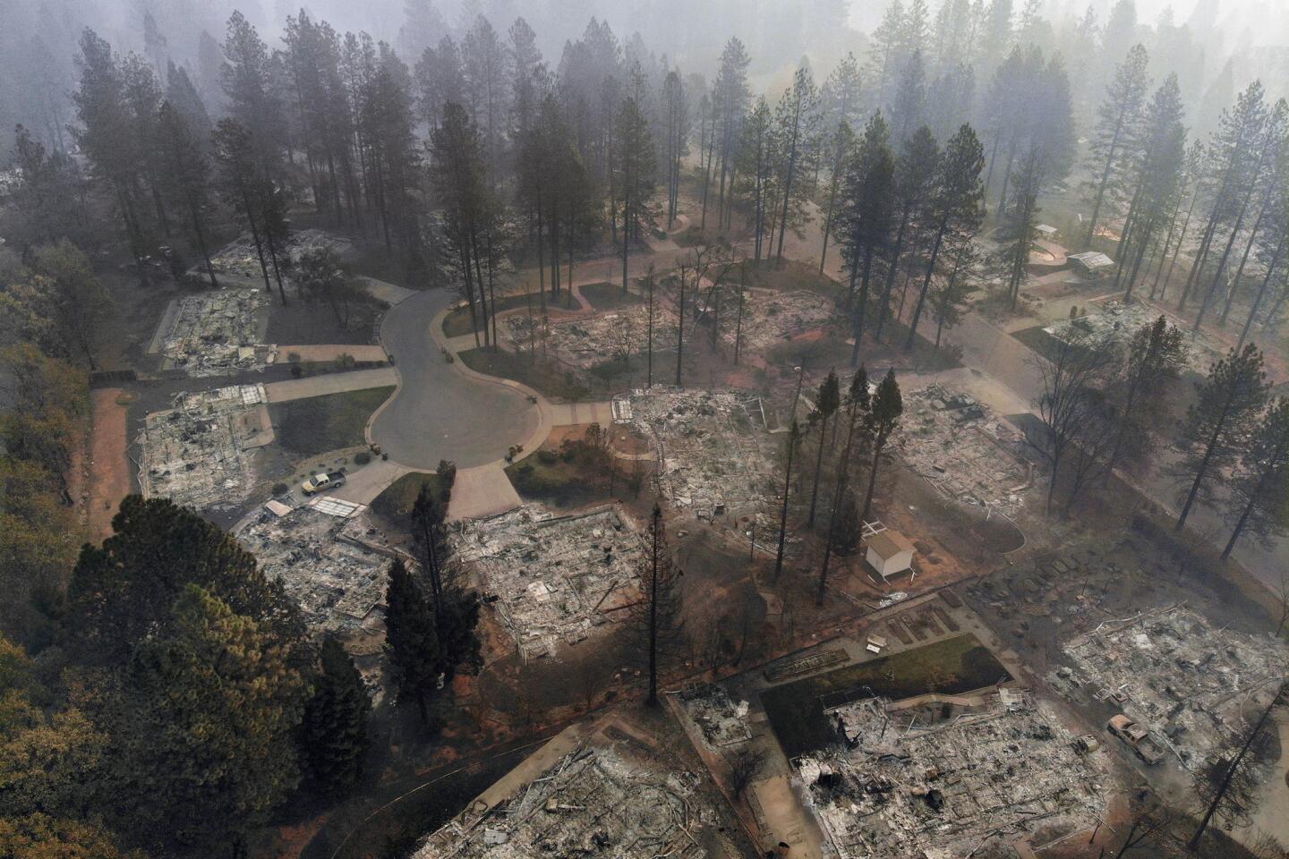
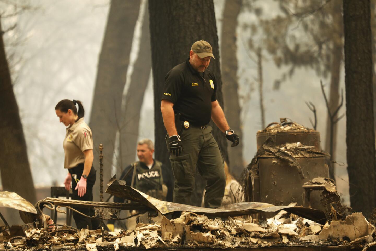
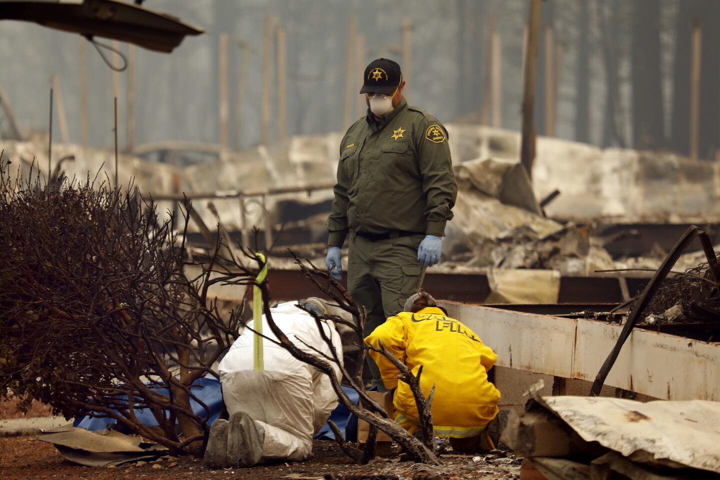
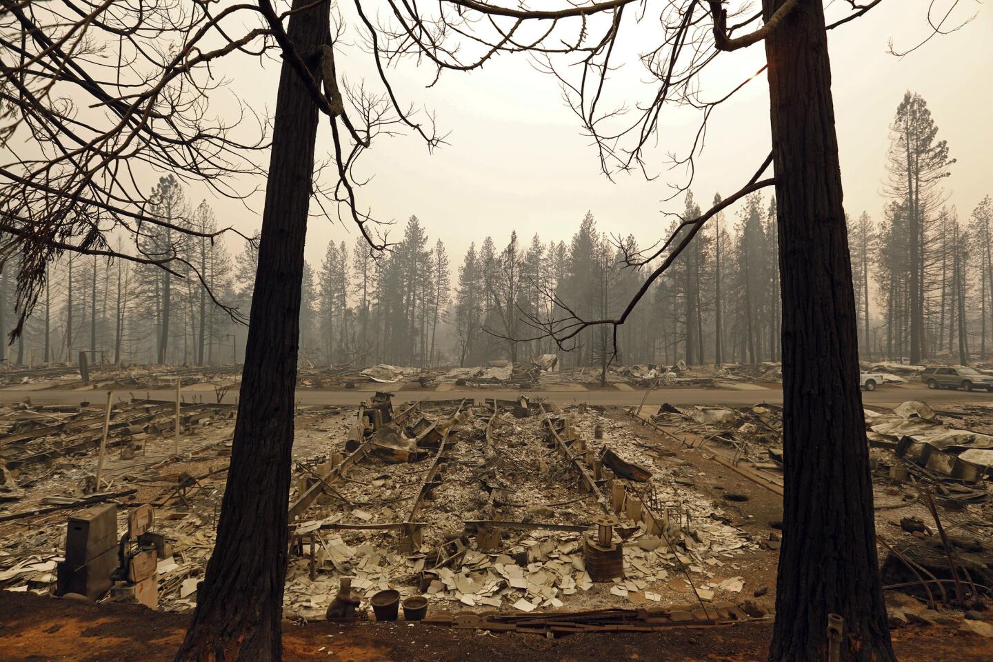
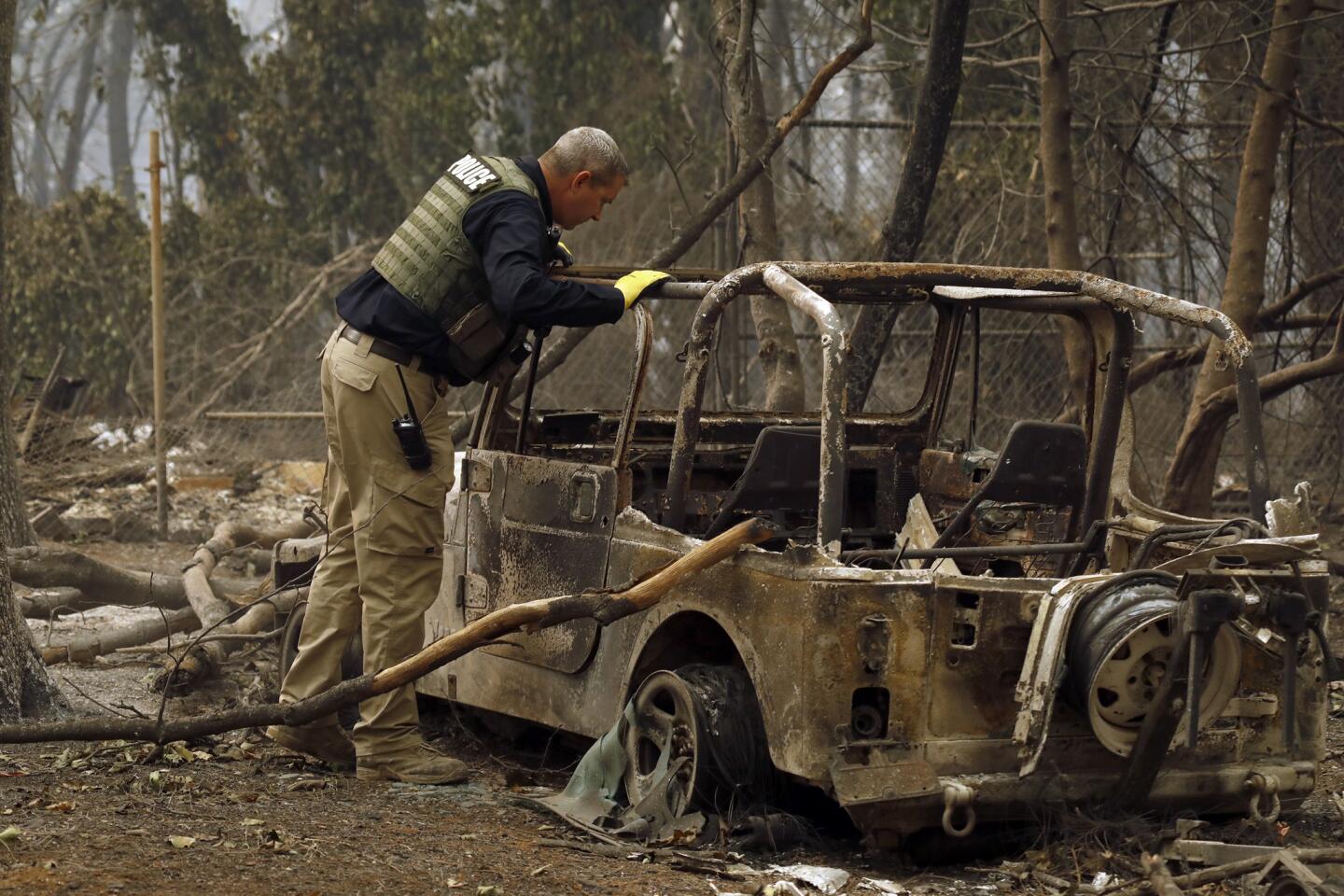
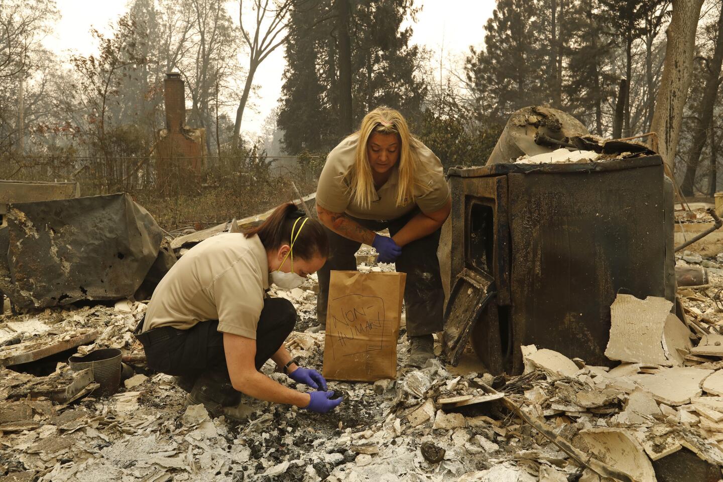
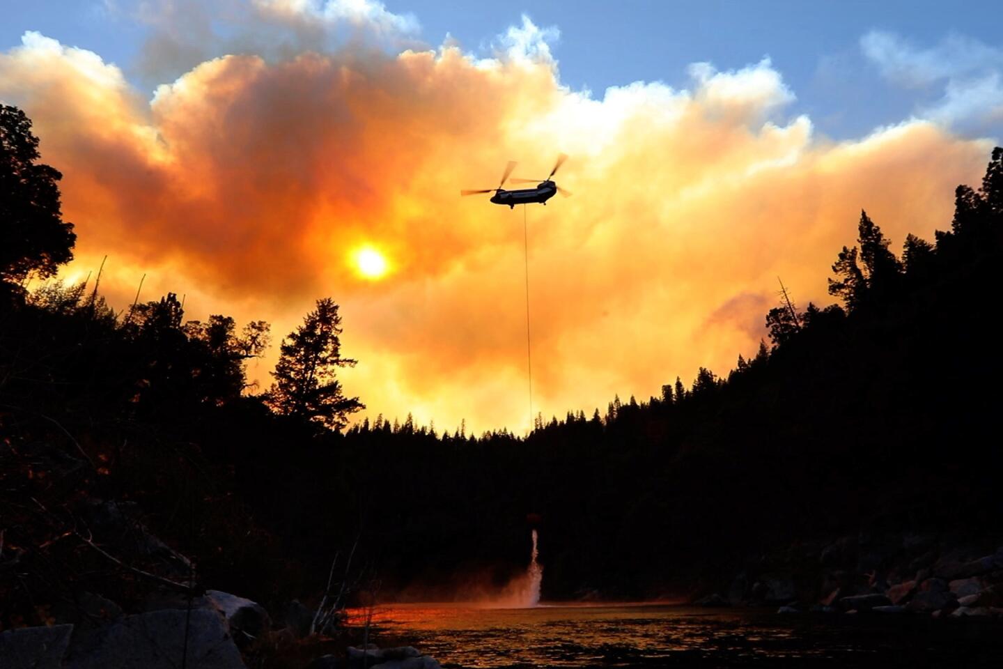
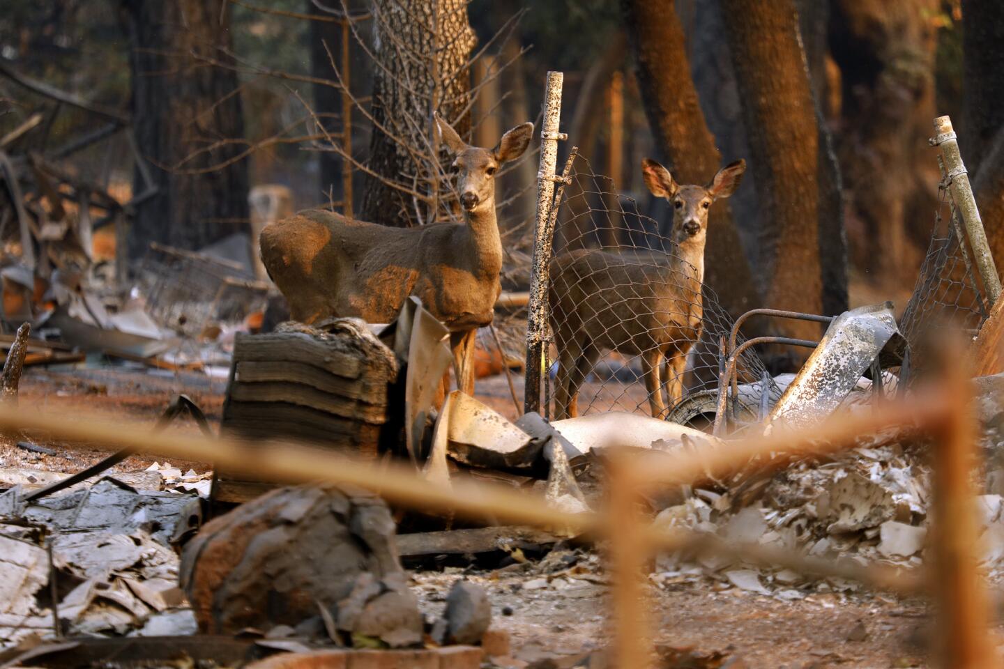
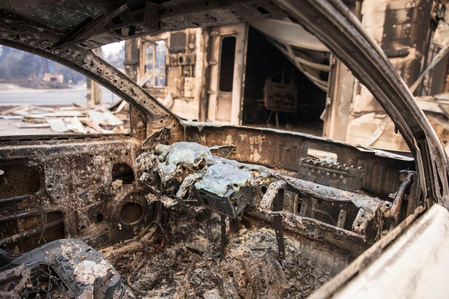
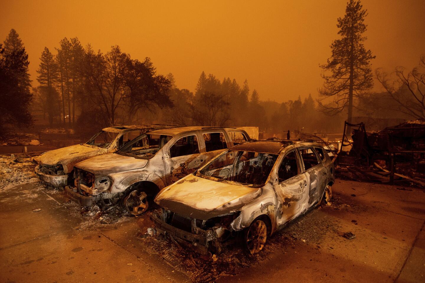
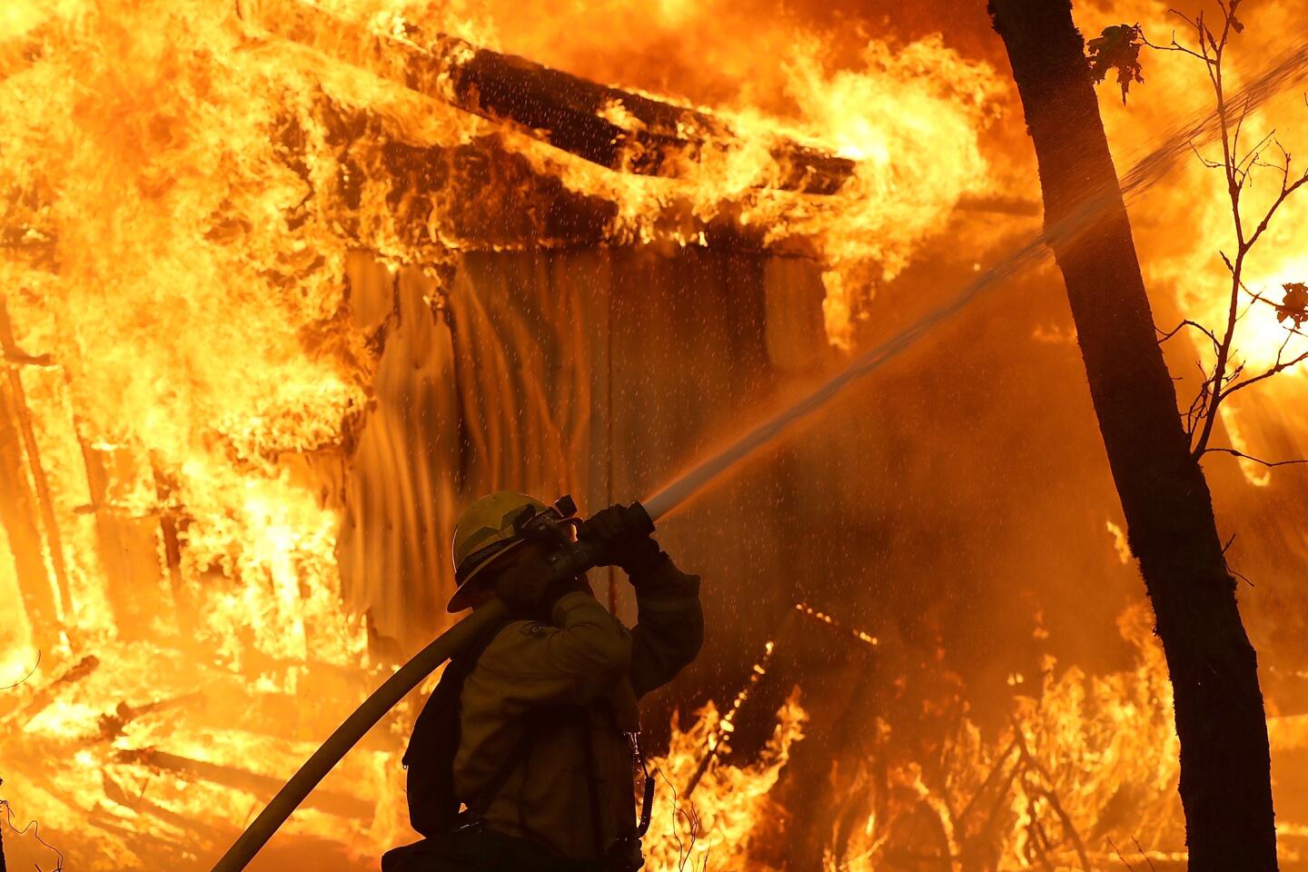
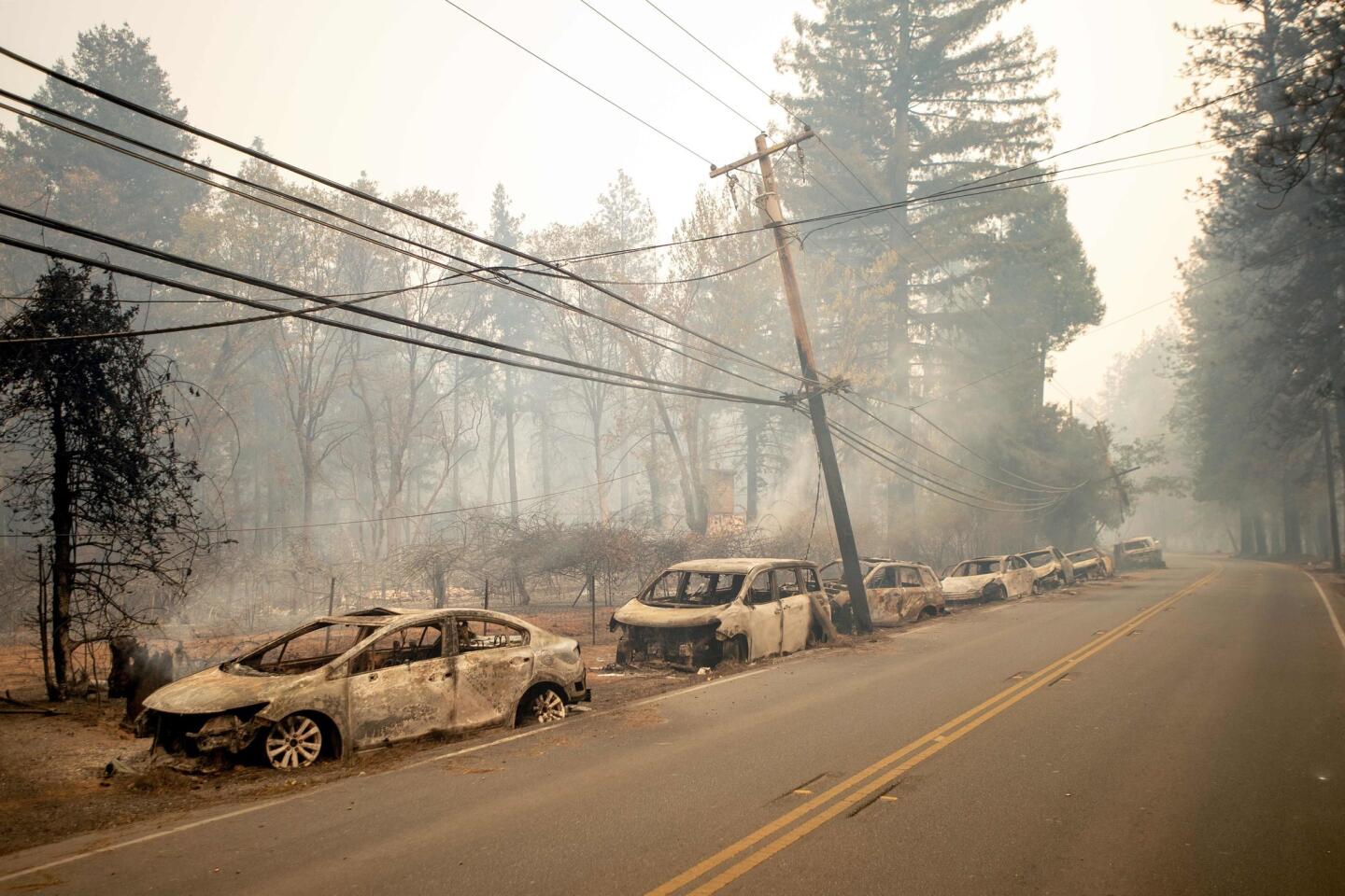
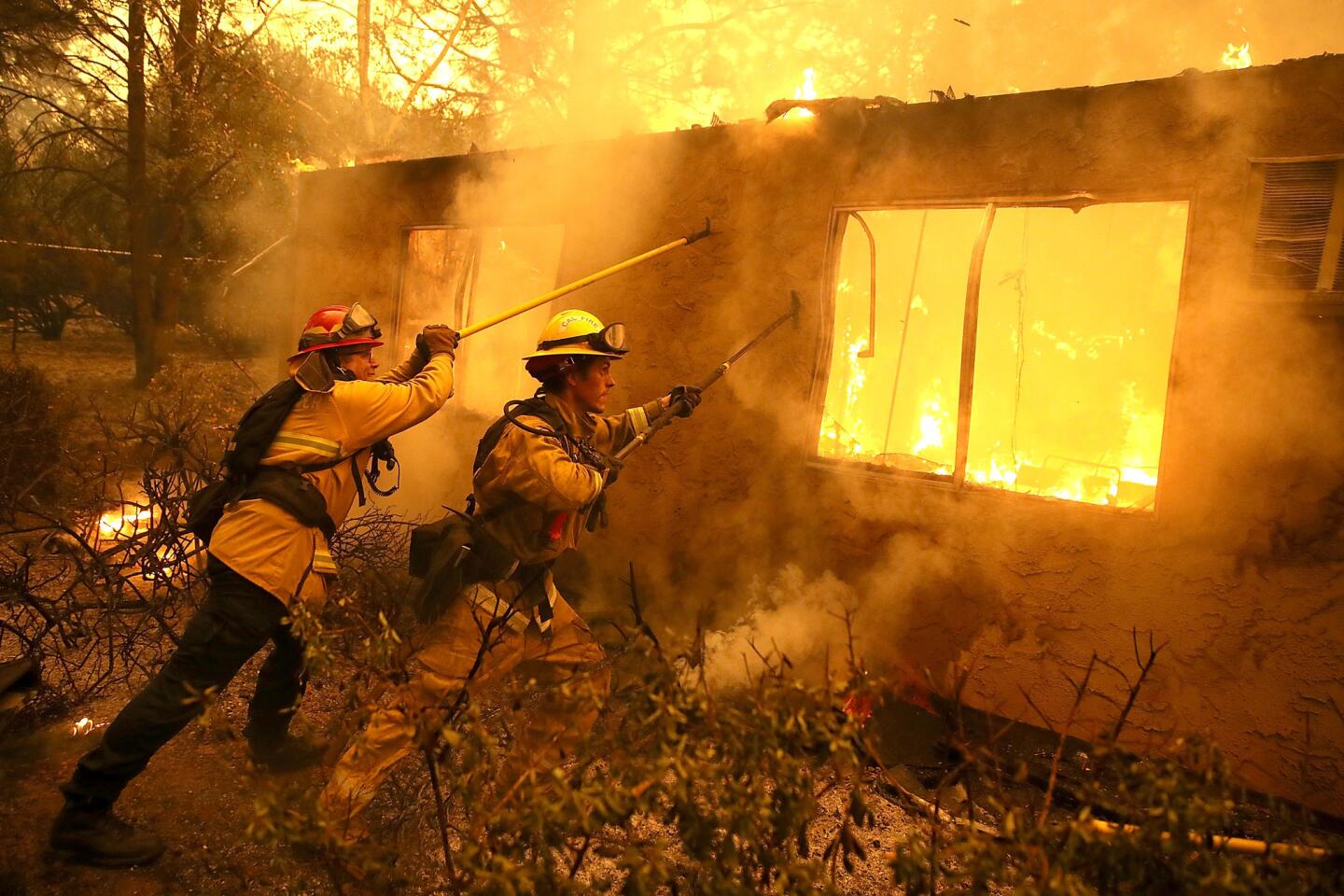
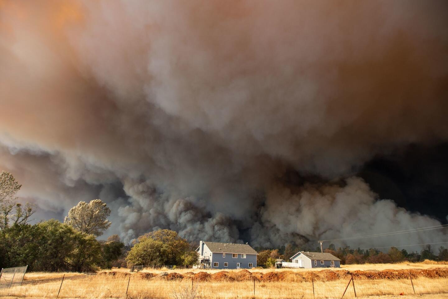
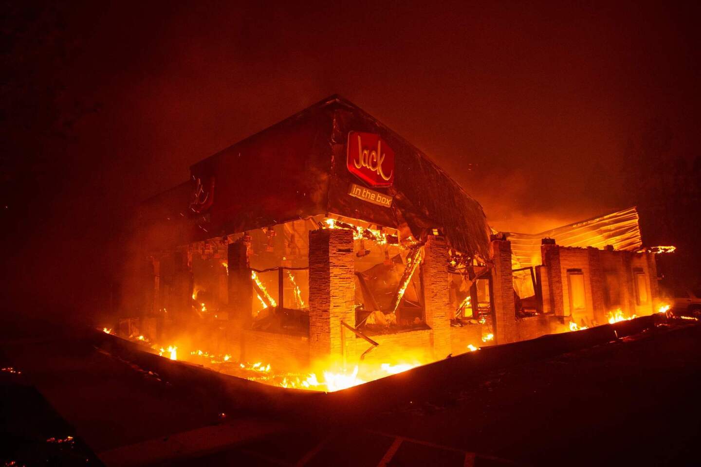
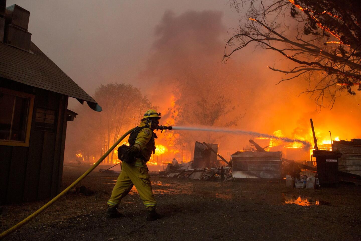
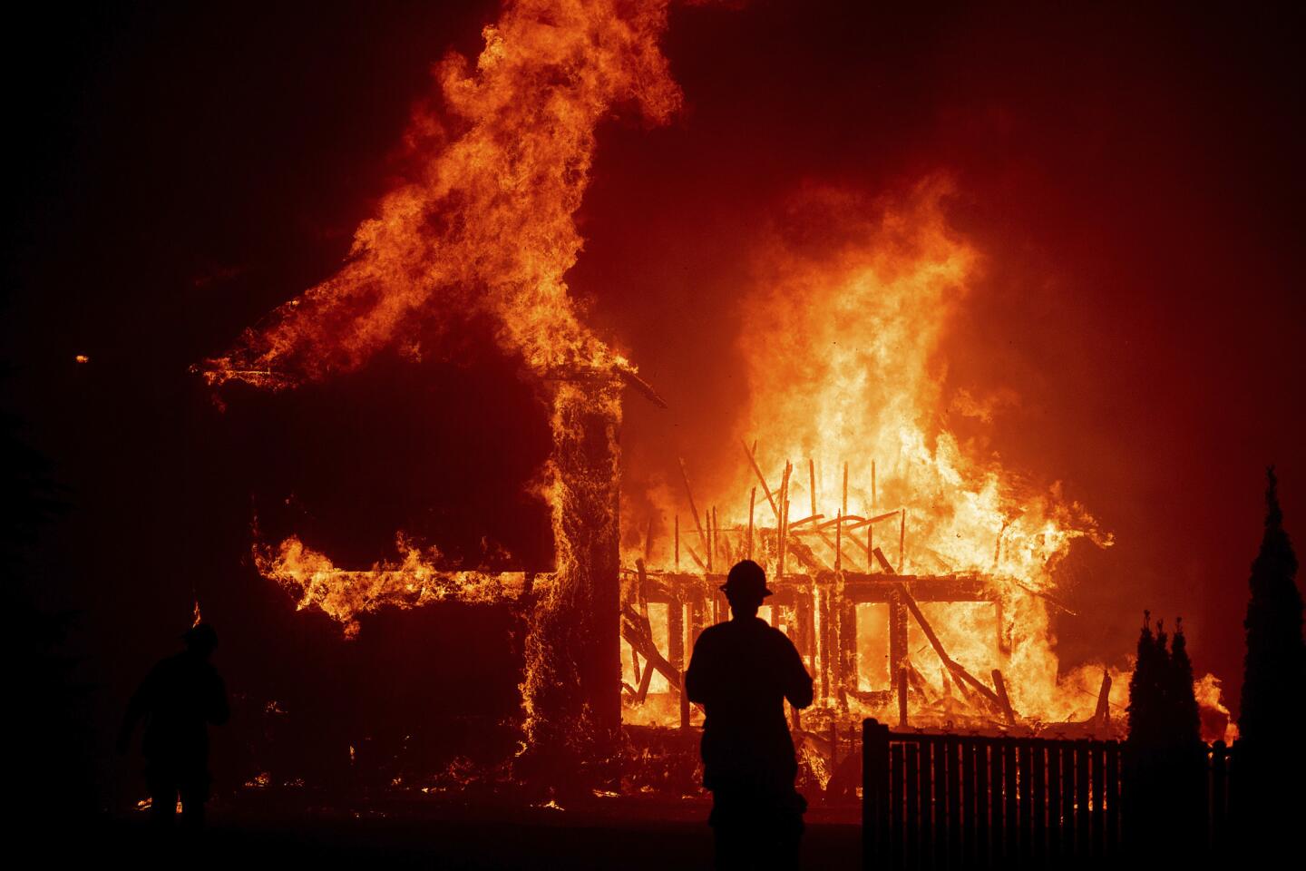
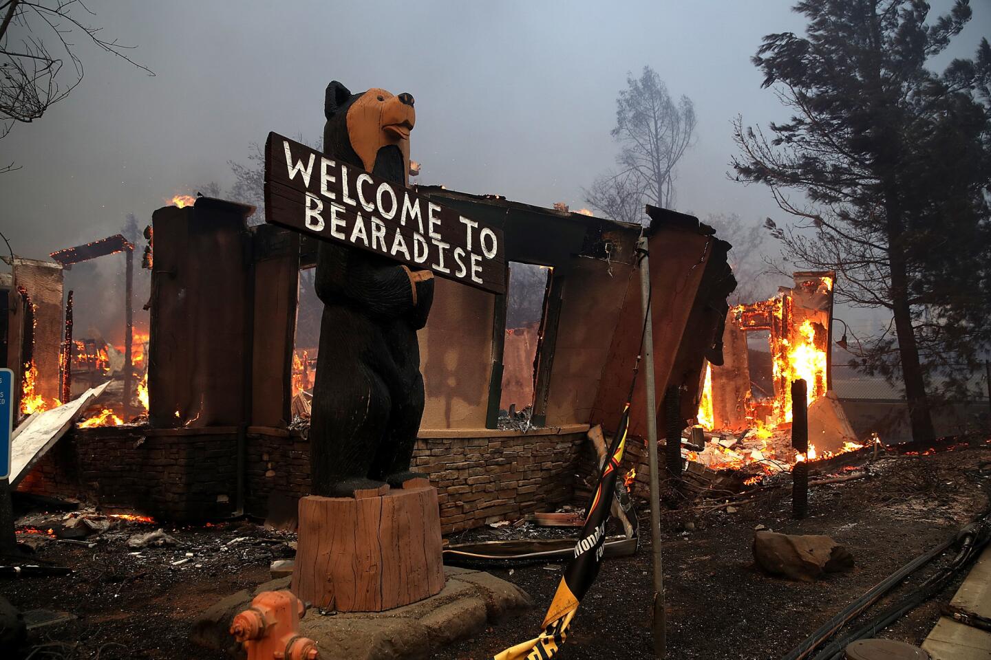
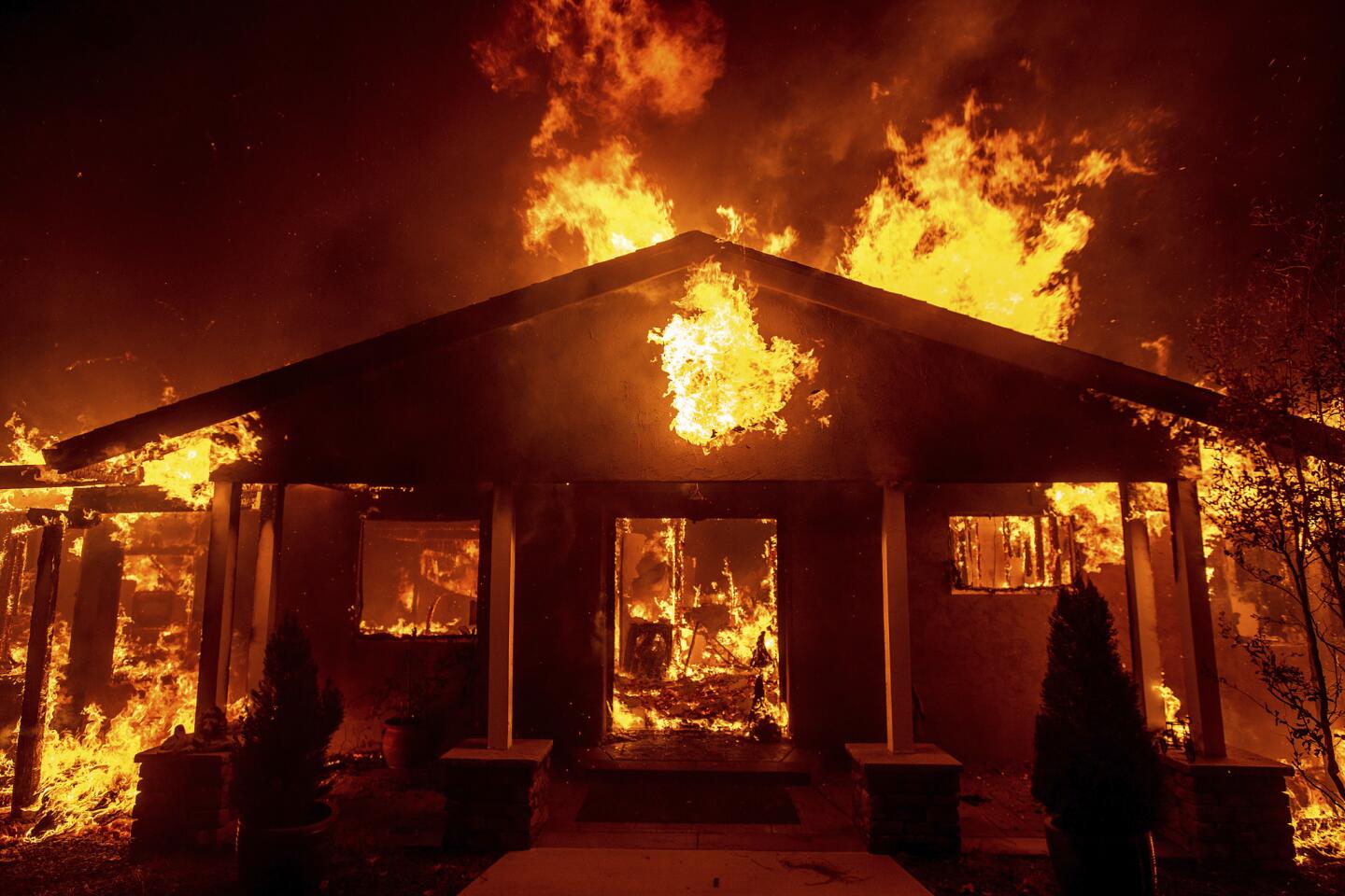
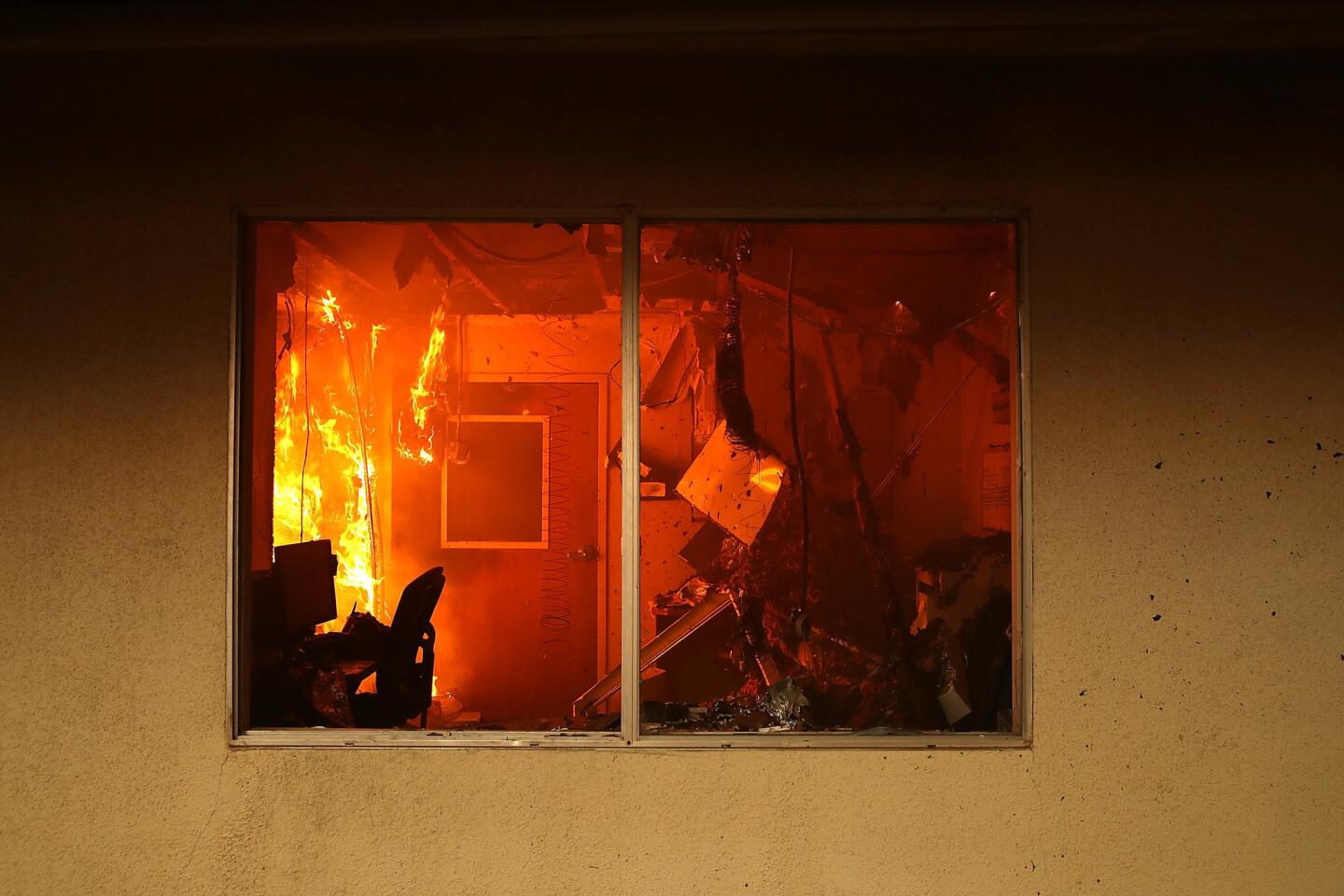
To date 42 people on the ridge are confirmed dead, and more than half the dwellings of Paradise are gone. Still burning and uncontrolled, whipped by winds, the fire that began five days ago on Camp Road is the worst wildfire disaster in California history.
The irony is that Paradise was one of the few Sierra slope towns built in a tinderbox that tried to change its fate.
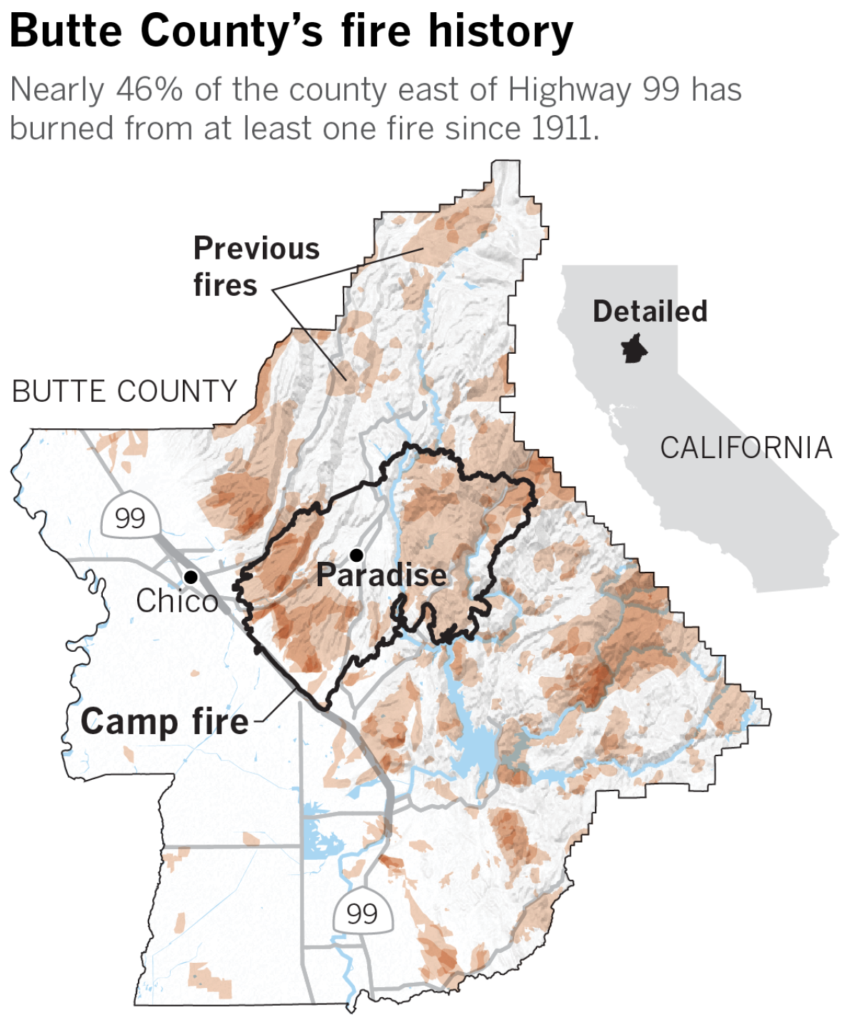
Fire history maps dating to 1911 show much of the hills of Butte County east of Highway 99 has burned, at one point or another. Including the current fire, an analysis of historic fire maps shows nearly 46% of the land mass in that area charred by at least one fire. In 1961, Butte was caught in a wind-driven “holocaust” of nearly 100 fires stretching from the bluffs to the Bay Area. The roster of other massive fires include ones in 1927, 1943, 1951, 1964, 1990, 1999 and 2000.
Until this year, Paradise was remarkable because wildfire hadn’t crossed city limits.
But locals knew there was no room for complacency. A decade ago, the Humboldt fire destroyed 87 homes at the edge of town, and a week later dozens of fires set off by a lightning storm threatened the community. One person died.
Residents trying to flee the 2008 fires were caught in massive traffic jams, flames burning on both sides of the road as they sat trapped in their cars. They clamored for local officials to come up with a plan.
The solution created by Paradise city leaders was a plan that evacuated sections of the city at a time, said Phil John, chairman of the Paradise Ridge Fire Safe Council.
They adopted protocols to convert two-way streets into one-way evacuation routes during times of crises. And some 70 people participated in a recent drill, rehearsing an evacuation down the town’s main thoroughfare. All of this work “saved literally thousands of lives,” John said. “There’s no doubt in my mind.”
“There’s just no way to prepare for what happened,” John said. “Unless you had some kind foresight to say there’s going to be a big fire and it’s going to jump the creek and it’s going to burn down the whole town.”
Which is what happened.
“I think their plan would have worked for the 97th percentile fire,” said Bill Stewart, co-director of the Berkeley Forests program at UC Berkeley. “It would have worked if they had six hours to move, instead of two.”
But the modern Paradise disaster plan relied on a transportation infrastructure that dates to horse-pulled wagons.
The roads were largely laid by gold miners and railroads, whose interests were in threading canyons and ridges on the western slope of the Sierra to reach rich mineral deposits rather than move large numbers of people out. They are paved incarnations of what Stewart called “dirt trails from the Gold Rush.”
Place names on maps reflect that colorful history: Flea Canyon, Deadwood, Dogtown and Helltown. On 1900 railroad maps, Paradise was labeled “Paradice,” giving rise to the yarn that it was named after the “Pair O’ Dice” saloon.
The town, on a ridge at 1,700 feet above a canyon cut by the Feather River, is basically at the dead end of two roads, the four-lane Skyway slicing west to Chico, and two-lane Highway 191, known locally as Clark Road, dropping south to Oroville. There are only four exit routes running south — all are in fire corridors.
In the 1960s, when Paradise’s building boom began, those roads would have served a population of some 8,000 people.
On Thursday, they were the primary escape to safety for more than 26,000 people on the ridge.
County emergency plans, updated in 2013, set the risk of wildfire as “critical,” with up to half of the housing stock at peril. The risk was not judged to be “catastrophic,” resulting in deaths and loss of more than half of homes, but fires were expected every year. The document described mass evacuations as “challenging … due to limited egress availability of roads. Mass evacuations during a fire event clog roads and add to the frustration of evacuees.”
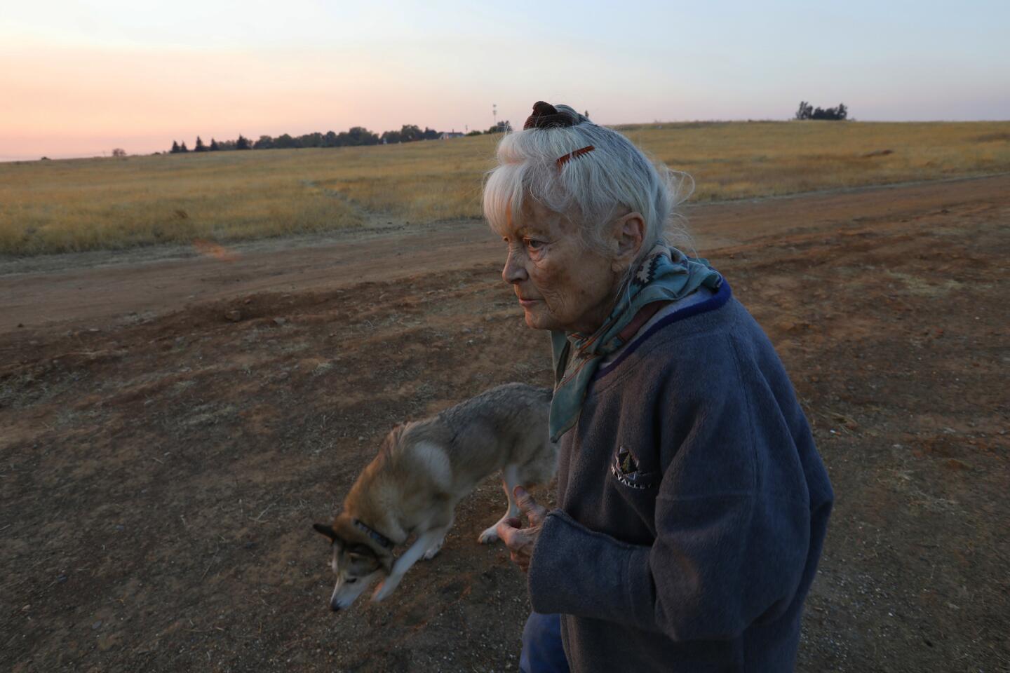
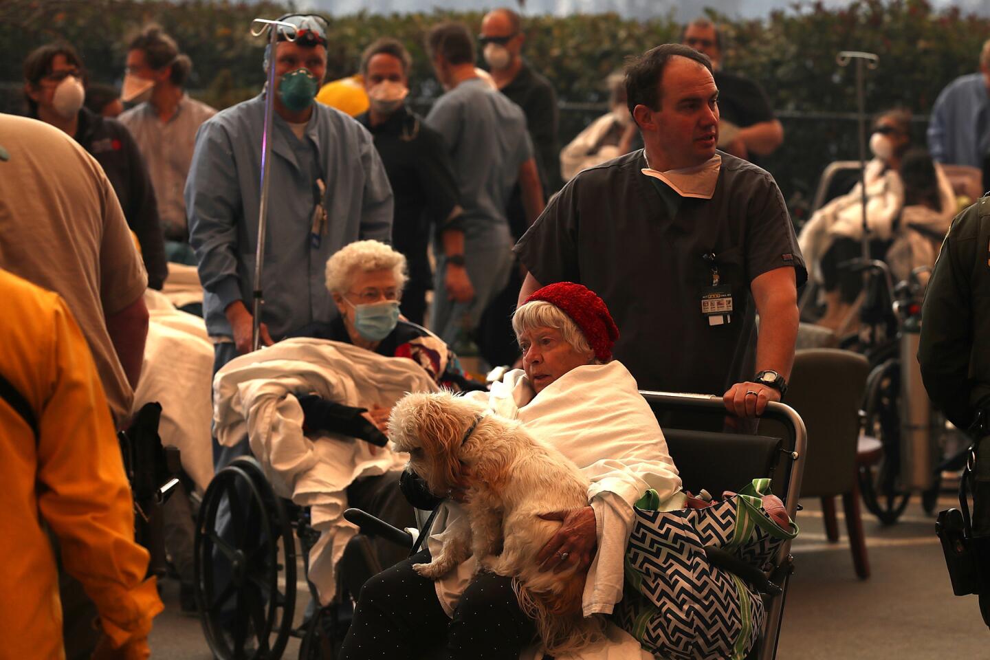
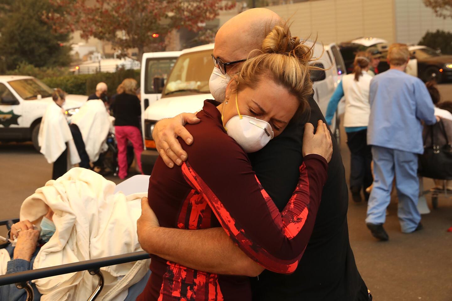
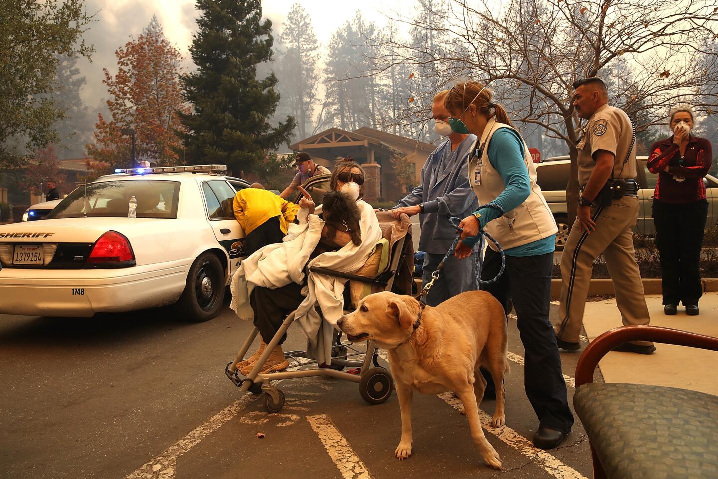
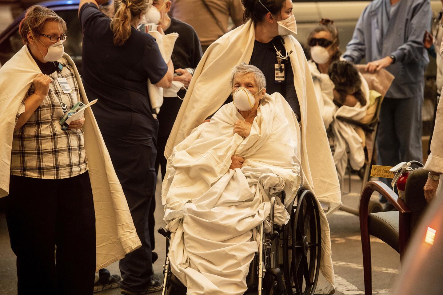
Still, the town has drilled residents on the importance of leaving, mailing out maps of the evacuation routes, along with reminders to pack up important records and other belongings and to make plans for pets. Peggy Musgrave, 85, followed the instructions to a T, and credited them for her safe arrival at a Red Cross shelter. Even so, the escape route itself took more than two hours to travel 16 miles.
At least six of the dead so far were found in vehicles, five on a main street connecting to the escape routes.
The entire town is in a high-risk fire severity zone. Only 103 of more than 11,000 parcels of land were not “very high” fire risk, according to the planning document. “Future development,” the plan warns, “should consider adequate evacuation routes for citizens of the town.”
California’s fire response agency has the ability to require subdivision developers to add additional evacuation routes to new projects, Stewart said. But there is little to be done about the state’s many historic mining towns, increasingly attractive to retirees.
One statistic explains much about the allure of a place where residents were required to flee practically every other year: Its median home value in 2017 was $200,900, extraordinarily low in a state that routinely shocks outsiders with its overpriced real estate.
Paradise has not sought to slow its growth. Town-planning council members in August entertained a proposal to build a 56-unit senior living complex, taking advantage of state zoning laws that allow increased housing density for the elderly. The town projects 23% growth in the next 22 years.
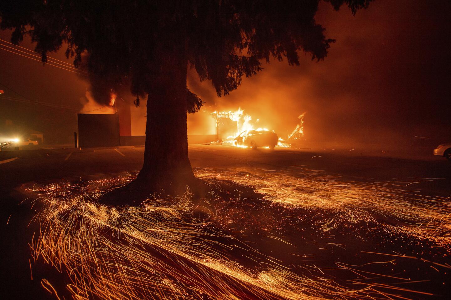
Since Greg Rader, 55, moved to Paradise in 2005 he has had to pack up and run four times. When he heard about the Camp fire on Thursday morning, he decided he would stay and fight, grabbing a hose and rake to smother spot fires ignited by embers dropping from the sky. Within an hour, it was raining fire, and Rader ran to his car, not bothering to return to the house for his phone or anything else. He said he was stuck in the evacuation gridlock, trees burning around him, as he inched his way out.
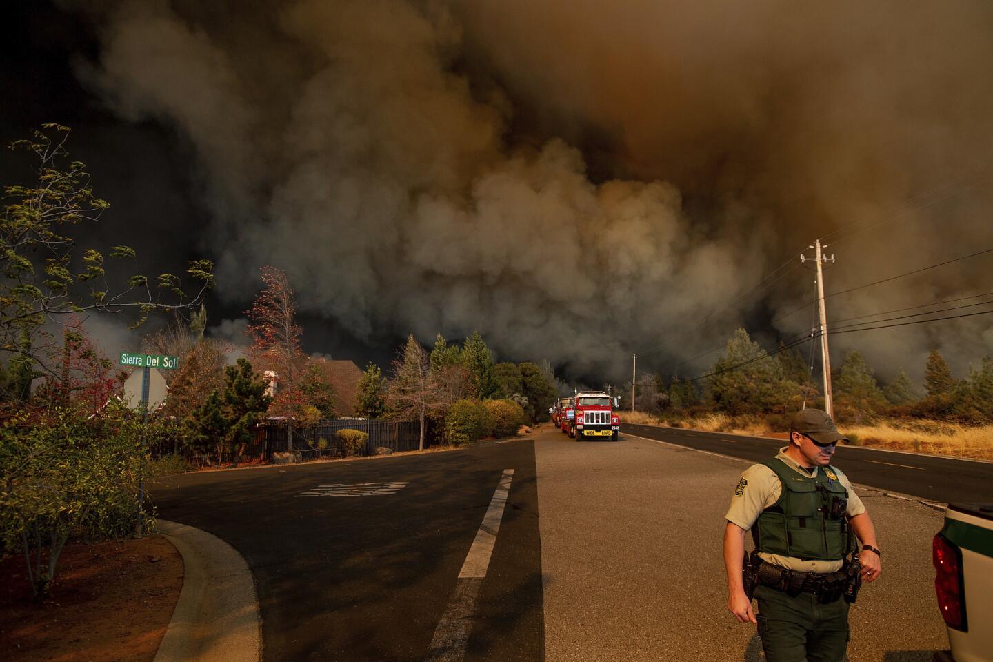
Sensitivity to the powder keg potential was so keen that a firefighter checking the initial report of flames beneath a high-power tension line off Camp Road radioed back that the nearby town of Pulga should immediately be evacuated.
The object of his great worry was merely a 10-acre grass fire, rooted in a power company’s cleared area, crawling toward the brush.
By 9 a.m., less than three hours later, a fire department engine driver miles away in Concow radioed to dispatch that he was trapped by the same, now exploding Camp fire, along with 20 civilians.
“We’re taking a safe zone,” he said. “We have explosion structures on fire,” he said. There was nowhere to go. “We’re taking refuge in our vehicle.”
Times staff writer Jon Schleuss contributed to this report.
Twitter: @paigestjohn
Twitter: @annamphillips
More to Read
Sign up for Essential California
The most important California stories and recommendations in your inbox every morning.
You may occasionally receive promotional content from the Los Angeles Times.
