8 of the best L.A.-area hikes, according to locals
- Share via
Truism No. 1: Los Angeles is a patchwork of vast hiking terrain, with about 1 million acres in the L.A. area. The Angeles National Forest alone offers 700,000 acres and 8,000-foot-plus peaks to explore.
Truism No. 2: Even the most comprehensive hiking guide can’t possibly incorporate every craggy nook and spindly trail. Which is partly what makes the area so inspiring — there’s a sense of expansive adventure, with still-uncharted territory ahead.
We asked Times readers for their favorite hidden or go-to hiking spots that were not included in our recent guide.
Whether you’re looking for ocean views or desert landscapes or soaring mountain peaks, Los Angeles offers miles upon miles of strikingly different trails.
And in our request, we were reminded of Truism No. 3: Hikers can be secretive about their favorite getaway spots, lest they become overrun with foot traffic. Of the letters we received, a few said things like “I don’t want to tell you, b/c then it’ll get crowded. LOL!” and “I’ll keep it to myself. Don’t want the litter or the crowds.”
We can respect that.
Here are a few hiking journeys that readers were willing to share.
Victory Trailhead Loop
Distance and elevation gain: 5.1-mile loop, 408 feet
Why? “Has everything anyone would want from a local trail. Caves to explore and an overall great way to exercise on a daily basis.”
What makes it extra special: “It sits in a very suburban area but when you’re on the trail, it doesn’t feel that way. Feels very remote and far, good for clearing your mind without traveling too far.”
Address: Upper Las Virgenes Canyon Open Space Preserve, western end of Victory Boulevard in Woodland Hills
—Jose Arias, San Fernando Valley
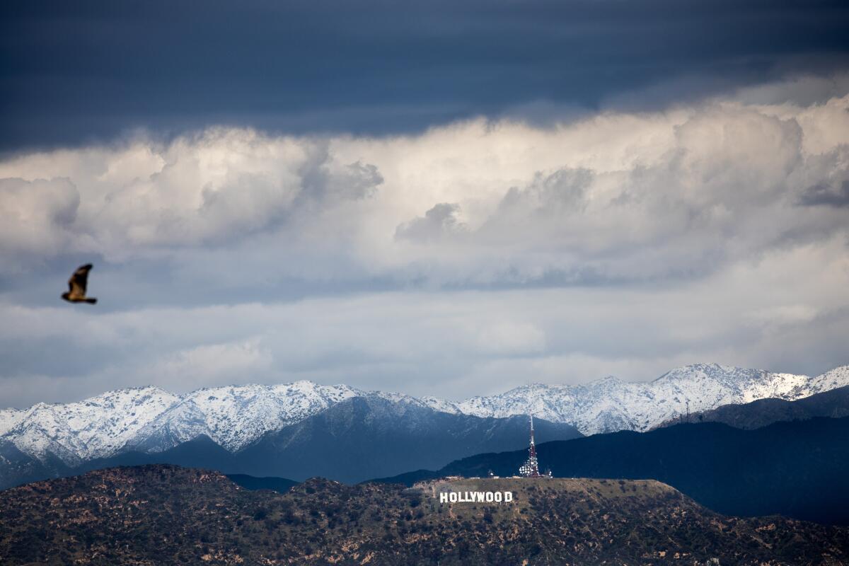
Kenneth Hahn Recreation Area
Distance and elevation gain: 2.8-mile loop, 393 feet
Why? “Some nice elevation, some good exercise if you use the entire loop, but it’s really for incredible, unobstructed, panoramic views.”
What makes it extra special: “Best of all, you can bring your dog. (On a leash, but please bring water for you and the dog!)”
Address: Kenneth Hahn State Recreation Area, 4100 S. La Cienega Blvd., Los Angeles
—Steven Matthews, Los Angeles
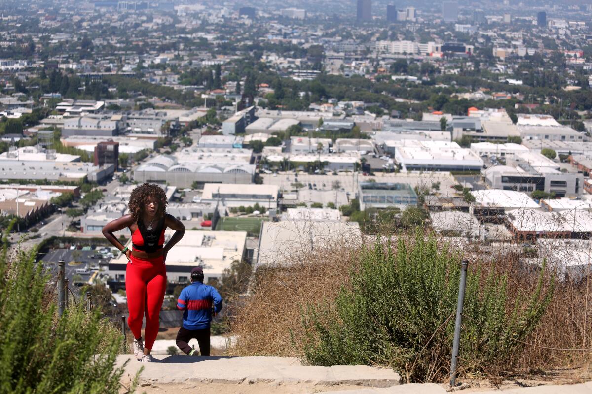
Baldwin Hills Scenic Overlook and Culver City Steps
Distance and elevation gain: 1.4-mile loop, 334 feet
Why? “Stairs, stairs and stairs.”
What makes it extra special: “Four times up is roughly the equivalent number of floors to climbing the stairs to the top of the Empire State Building! And even the switchback way up still gets you a nice workout. (Many dogs seen, but not permitted legally!)”
Address: 6105 Hetzler Road (at Jefferson Boulevard), Culver City
—Steven Matthews, Los Angeles
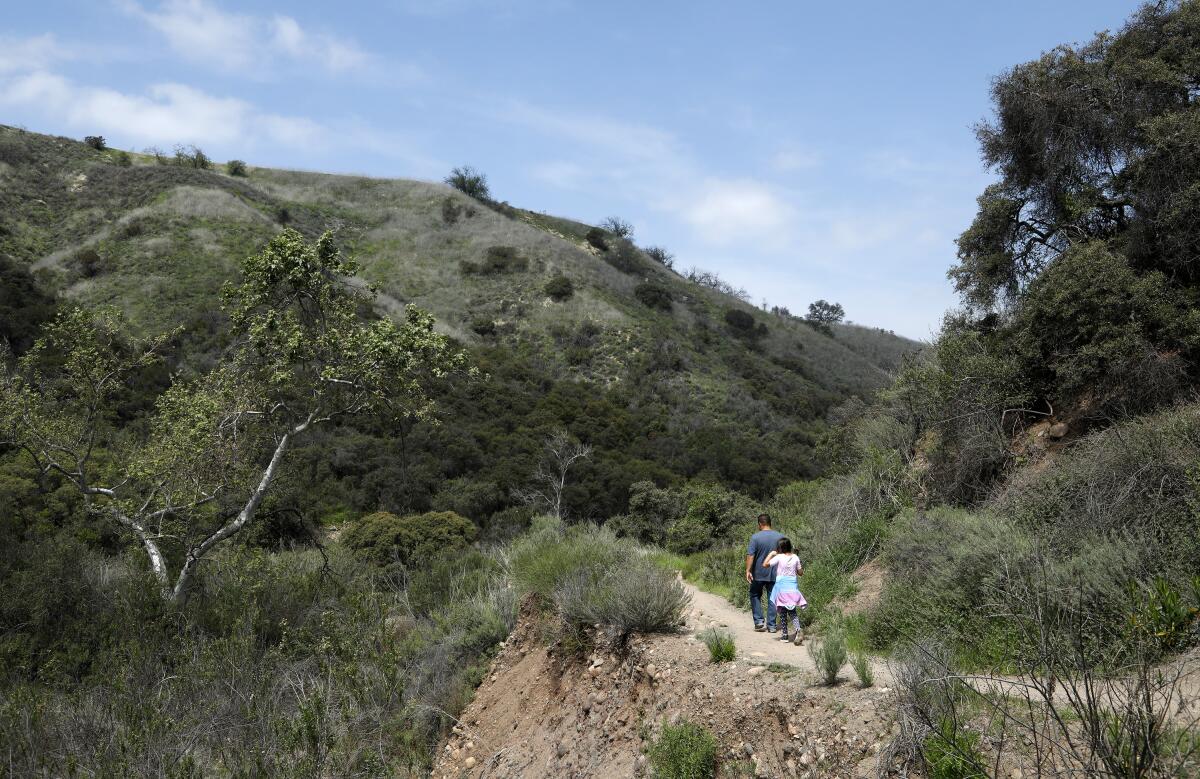
Caballero Canyon Trail
Distance and elevation gain: 1.4 miles out and back, 558 feet
Why? “Ideal for fleeing the oppressive heat notorious for yellowing armpits in that particular part of town. A few alluring features of this trail are the diversity of flora and fauna up for the gawking, the breath-snatching panoramic views, and the scarcity of crowds and inexplicable abundance of parking. It’s a veritable paradise plunked in the middle of sweltering nowhere.”
What makes it extra special: “I enjoy the scramble and huff up the challenging crags. I’ll sometimes trail run up and will have to bound over a basking, slumbering snake or two. Harmless but spooked. Not to mention the scramble of feral rabbits darting every which way as I come lumbering down the path. It’s that kind of ravenous tranquility no amount of yoga or meditation can ever hope to attain. No small amount of nirvana, I say.”
Address: Topanga State Park, 4047 Reseda Blvd. in Tarzana
—Tommy Vinh Bui, Pacoima
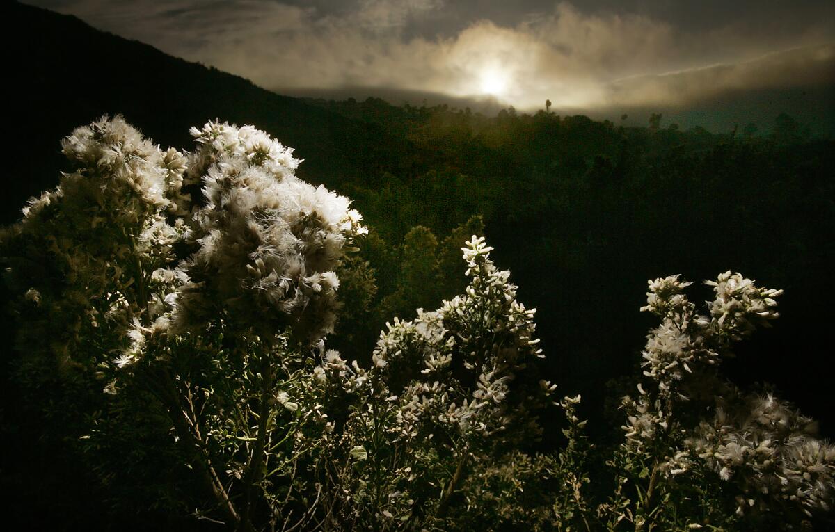
Forrestal Preserve Loop
Distance and elevation gain: 2.9-mile loop, 757 feet
Why? “I like to make a loop of the Pirate Trail, Mariposa Trail, Flying Mane Trail, Fossil Trail and back on Forrestal Drive to the starting point.”
What makes it extra special: “Stunning ocean and coastline views. Hillsides covered with wildflowers the last two springs in April and May. Even a small stream, which is very rare in Palos Verdes.”
Address: 32201 Forrestal Drive, Rancho Palos Verdes
—Jay Bacon, Palos Verdes Estates
Los Leones Trail
Distance and elevation gain: 4.0 miles out and back, 1,046 feet
Why? “Love this hike because it’s an easy-to-get-to hike with beautiful views. And it’s a good workout, but not too challenging to do every week.”
What makes it extra special: “For me, there’s a sense of peace here — you feel like you’re almost on a mini-vacation, even though you’re 20 minutes from home.”
Address: 585 Los Liones Drive, Pacific Palisades
—Janette Haddad, Santa Monica
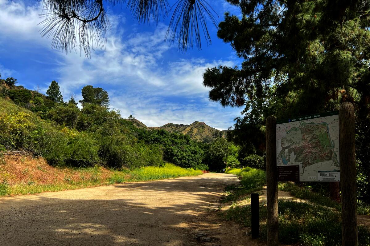
Griffith Zoo to Observatory Loop
Distance and elevation gain: 7.4-mile loop, 1,702 feet
Why? “Challenging, but worth the scenery and a pleasant walk in nature all year long.”
What makes it extra special: “[Taking] control of such tough hiking heights.”
Address: Griffith Park, merry-go-round lot 1 or 2, 4668 Crystal Springs Drive, Los Angeles
—Jaime Vargas Sr., San Bernardino
Upper Cabin Trail Loop
Distance and elevation gain: 8.8-mile loop, 2,683 feet
Why? “It’s secluded and dreamy, plus fun scrambling up to the backside of Sandstone Peak.”
What makes it extra special: “Wildflowers like nothing I’ve ever seen around the L.A. area in the spring. And when the clouds roll in as you hike to the summit above them, it’s quite magical. The way back has treacherous eroded mini-canyons, you have to surmount carefully, so the reward at the end makes it much better.”
Address: 4124 1/2 Potrero Road, Thousand Oaks
—Panit Buranapramest, Gardena
More to Read
Sign up for The Wild
We’ll help you find the best places to hike, bike and run, as well as the perfect silent spots for meditation and yoga.
You may occasionally receive promotional content from the Los Angeles Times.
