- Share via
MODESTO — Throughout the Central Valley, California’s rivers have long been held within their banks by levees and berms, artificially disrupting the natural cycles of flooding and preventing streams from meandering across the landscape.
Natural floodplains — the lush green lands along rivers that historically flooded, retained water, and nourished life in the heart of the valley — were mostly drained and converted to farmland generations ago as the state’s waters were dammed and diverted.
Aggressive and impactful reporting on climate change, the environment, health and science.
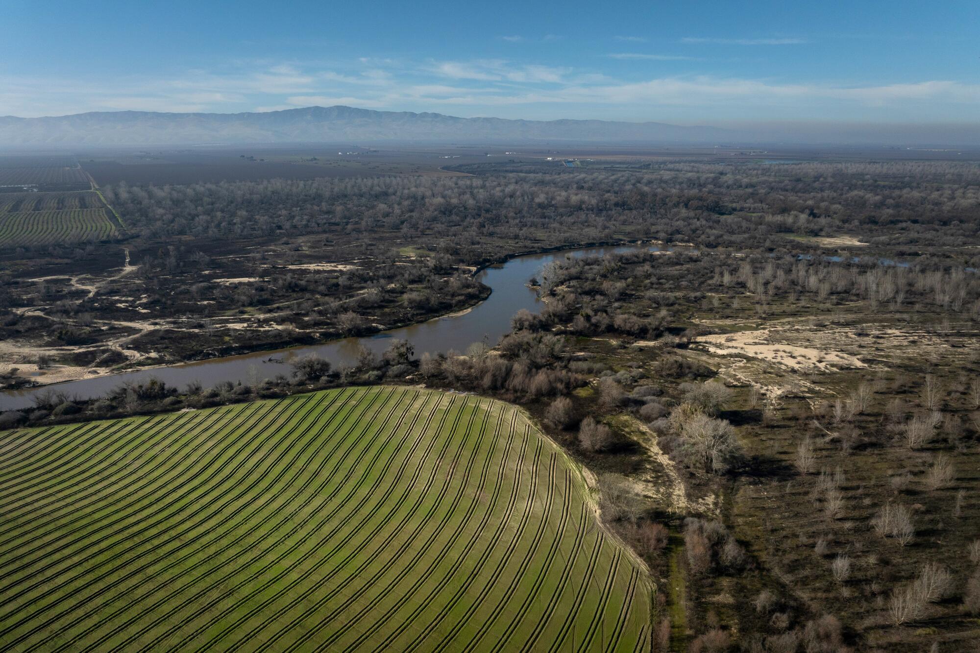
Today, an effort to bring back some of those floodplains is flourishing at the 2,100-acre Dos Rios Ranch Preserve near Modesto, where workers years ago planted native trees on retired farm fields and removed berms to create space for water to spread out again.
This has allowed the San Joaquin and Tuolumne rivers, which converge in the preserve, to expand and flow into their historic floodplains when big surges of runoff come. By making room for the rivers to overflow, the restoration project has created an outlet for high flows that helps to reduce the risk of dangerous flooding in low-lying communities nearby.
“Floodplains are this really important feature of rivers,” said Julie Rentner, president of the nonprofit group River Partners, which has led the restoration effort along with the Tuolumne River Trust. “We can store more water, reduce flood risk, and see wildlife species and habitats coming back to life.”
Over the past decade, the cottonwoods and willows that were planted have grown into a forest that teems with wildlife. And last year, when the rivers swelled with massive amounts of runoff from historic storms, the waters flowed among the trees and gradually soaked into the ground.
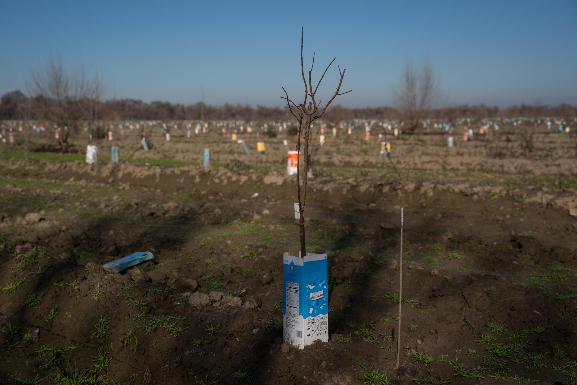
Rentner said the effort, which has been supported by federal, state and local agencies, shows how “engineering with nature” and embracing the natural dynamics of rivers brings an effective water solution, helping California weather deluges and droughts.
“When this floodplain floods up, there’s kind of like big gulps that happen,” Rentner said. “All that nuisance water, if we can let it spread out here, it’s going to do lots of good things for years to come.”
While many issues in California water management continue to spark heated debate, restoring floodplains is one strategy that enjoys widespread agreement and support. In addition to creating space for floodwaters, it helps slow and disperse flows on the landscape, allowing water to percolate into the ground and recharge depleted aquifers.
With climate change bringing more intense droughts and floods, projects that reconnect rivers with floodplains are increasingly seen as a way for the state to better withstand extremes.
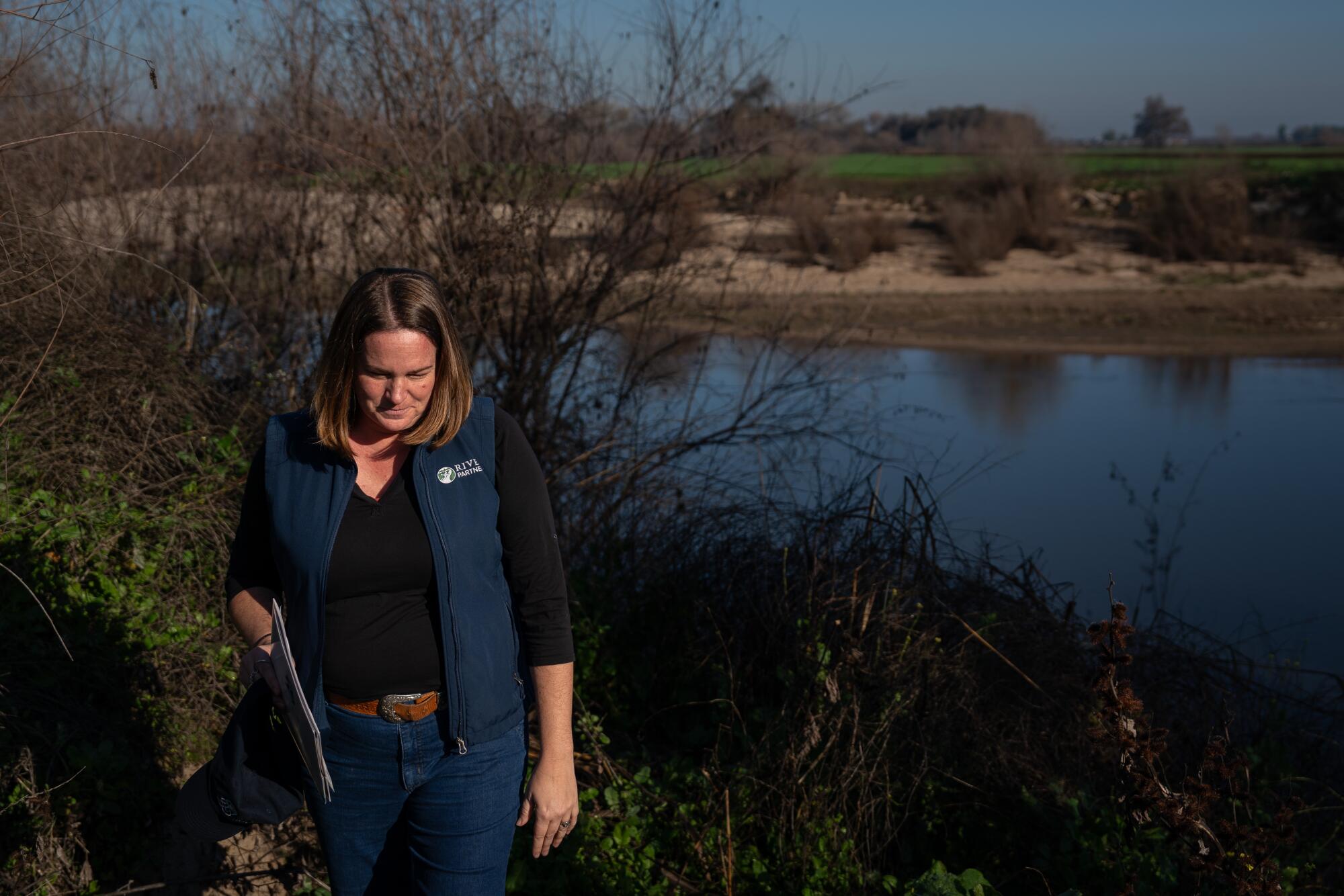
“It gives us an opportunity to moderate how badly our increasing intensity floods and droughts harm people,” Rentner said. “We’re going to be more resilient to it. Less damages, greater resilience.”
At the same time, opening up space along rivers restores critical habitats to help struggling fish, birds and other species, and provides areas where people can enjoy nature.
Dos Rios Ranch will soon become California’s newest state park.
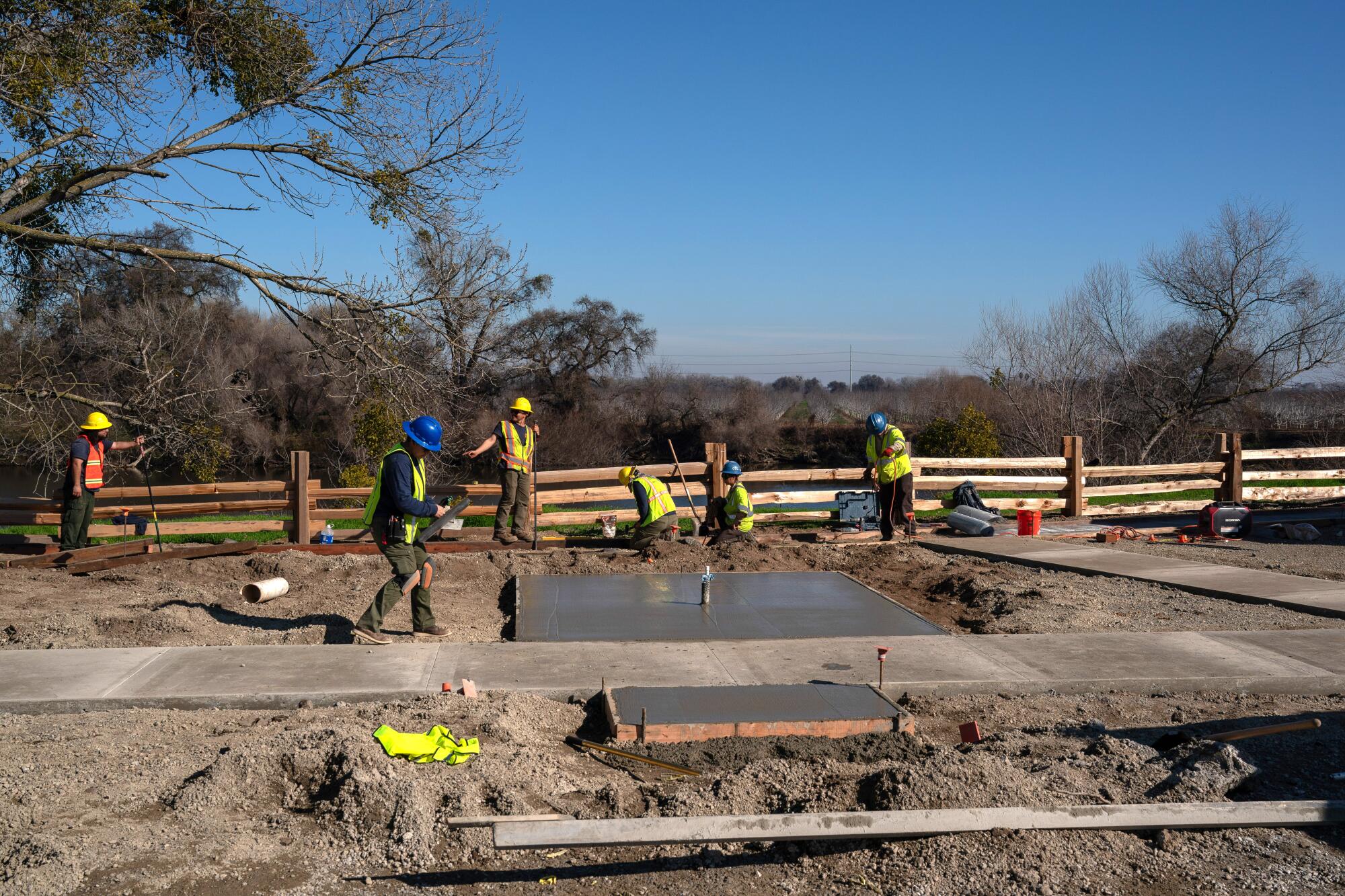
When Rentner visited on a recent morning, workers were building shade structures in a picnic area to prepare for the park’s opening this spring.
“It means a lot,” she said. “The San Joaquin Valley is parks-poor and has been for a long time, underinvested in open space and public areas.”
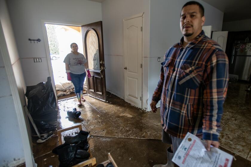
During the epic rains of 2023, atmospheric rivers pounded areas rich and poor in California with equal ferocity. But poor rural communities bore the brunt of the damage.
When residents come and walk the trails, go fishing or get their feet wet, Rentner said, they will be able to see how the restoration effort has transformed the floodplain.
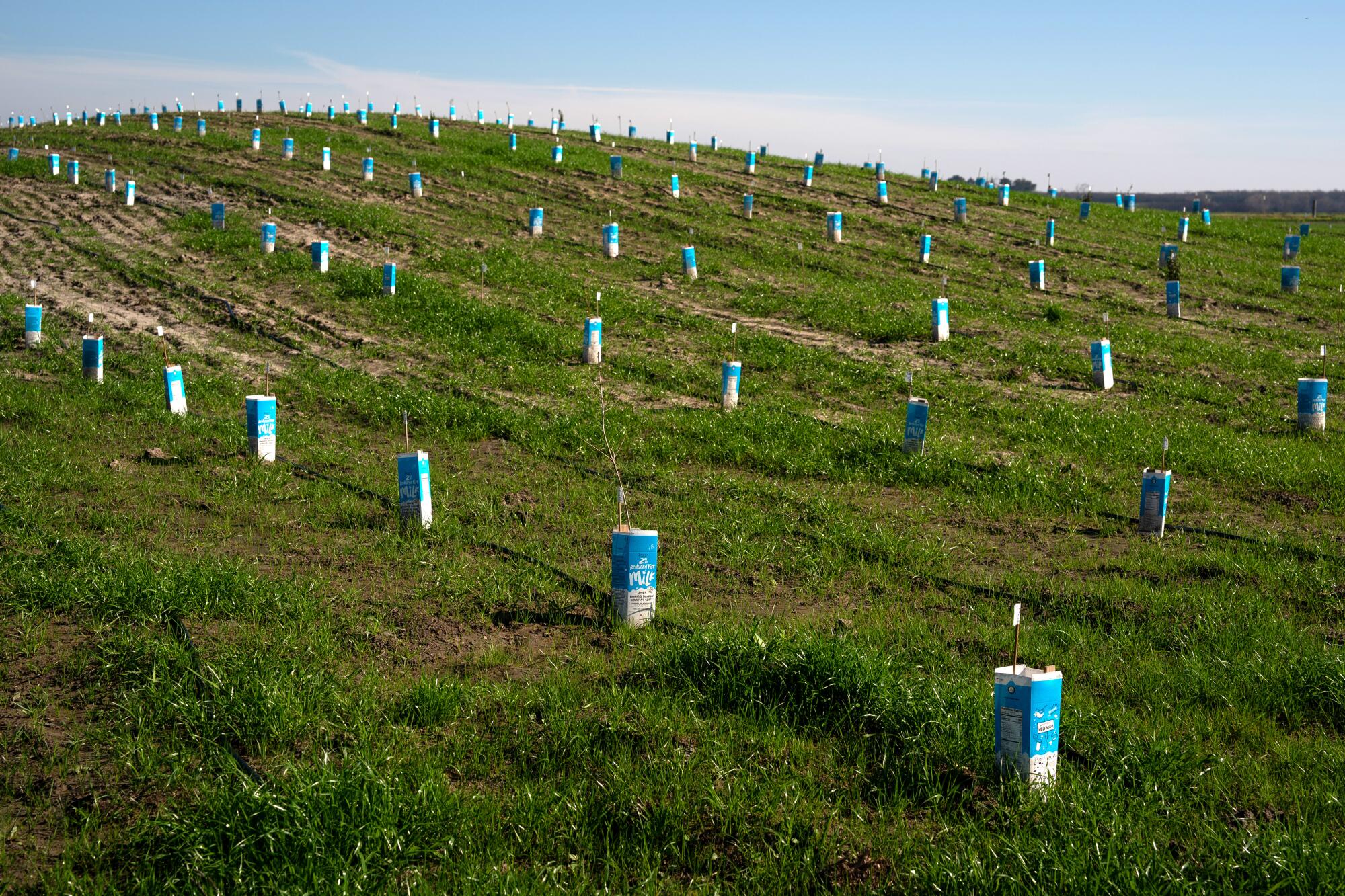
Next to the Dos Rios preserve, River Partners has recently started work on another 482-acre property along the San Joaquin River — a former dairy called Hidden Valley Ranch. Workers have plowed fields in curving rows, placing small white flags in the soil to mark where they will plant trees and shrubs.
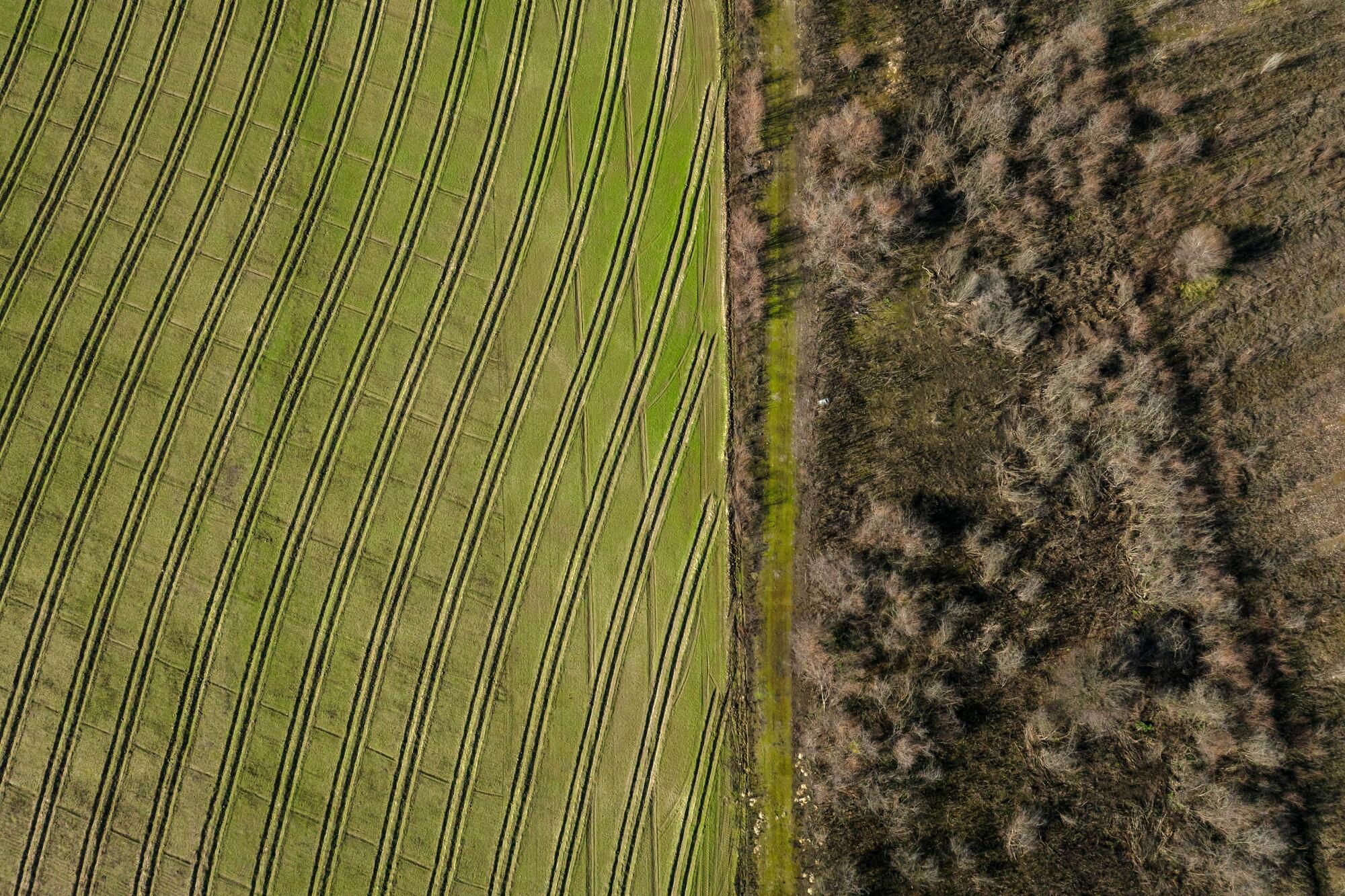
Rentner stood on a gravel road on top of a levee, at the dividing line between two starkly different landscapes — forest on one side and fields of bare dirt on the other.
Once the fields are planted, the vegetation will be watered for three years to get established, Rentner said, “and then we’re going to just let it do its thing.”
Restoring this area will also involve securing federal permission to breach a levee, allowing water to spread when the river swells.
The land borders the San Joaquin River National Wildlife Refuge and other protected areas, together forming nearly 11,000 acres of connected riparian habitat, the largest stretch of restored floodplains of this kind in California.
State officials and conservationists see potential to do many similar projects along rivers throughout the Central Valley.
Last year’s state budget included $40 million that will enable River Partners to carry out restoration work on more than 3,000 acres at 16 sites in the San Joaquin Valley. And that’s just the beginning of a series of projects that Rentner and her group have proposed.
In the next decade, Rentner said she hopes to complete at least an additional 15,000 acres of restoration projects.
Reestablishing more natural floodplains along the San Joaquin, Rentner said, helps reduce risks of flooding in communities downstream such as Stockton, which is widely recognized as vulnerable.
“The time is now because we’re politically aligned. We know how to do this. We’ve seen it proven out,” she said. “We can deliver on reducing flood risk, while making habitat for critters that are on the verge of extinction, and providing places for people to engage with.”
Endangered species that live in the preserve include riparian brush rabbits and riparian woodrats. The floodplains also provide habitat for monarch butterflies and birds such as vermilion flycatchers, yellow warblers and red-winged blackbirds.
When water fills the floodplain, it also creates productive habitat for fish, such as Chinook salmon.
Rentner paused beside a grassy meadow, calling it a “salmon nursery.” The land here was laser-leveled, and workers carved a swale to give juvenile salmon a way in and out when the plain floods.
Last year, high rivers inundated the area up to 4 miles wide at Dos Rios Ranch. The salmon nursery sat underwater for five months. And although the site hasn’t flooded so far this year, Rentner said in future wet years, this part of the floodplain will continue to provide rich habitat for juvenile salmon to feed and grow.
State officials are backing this sort of effort to expand habitat for salmon. Gov. Gavin Newsom’s newly released strategy for protecting struggling salmon populations cites the Dos Rios project as a “model for multi-use re-envisioning of land and water systems,” saying that “river corridors can be expanded to accommodate increased flood control buffers, while making habitat for fish and birds.”
The restored floodplains also offer other benefits for people who live nearby.
Groundwater depletion is worsening in many of the world’s farming regions. But a global study also found that some efforts are helping to boost aquifers.
The conversion of dairies to wetlands and forests means cleaner air and less pumping of groundwater. As floodwaters soak into the soil and replenish the aquifer, this gives a boost to the local water supply.
Wetlands also retain and naturally filter water, improving water quality.
Directly across the San Joaquin River from the preserve, the community of Grayson sits atop groundwater contaminated with nitrate. The harmful pollutant has leached into water in many parts of the valley from sources including fertilizers, dairies and septic tanks.
The community has a treatment system that reduces nitrate levels in the drinking water. But some residents say the contamination remains a concern and they buy bottled water just to be safe.
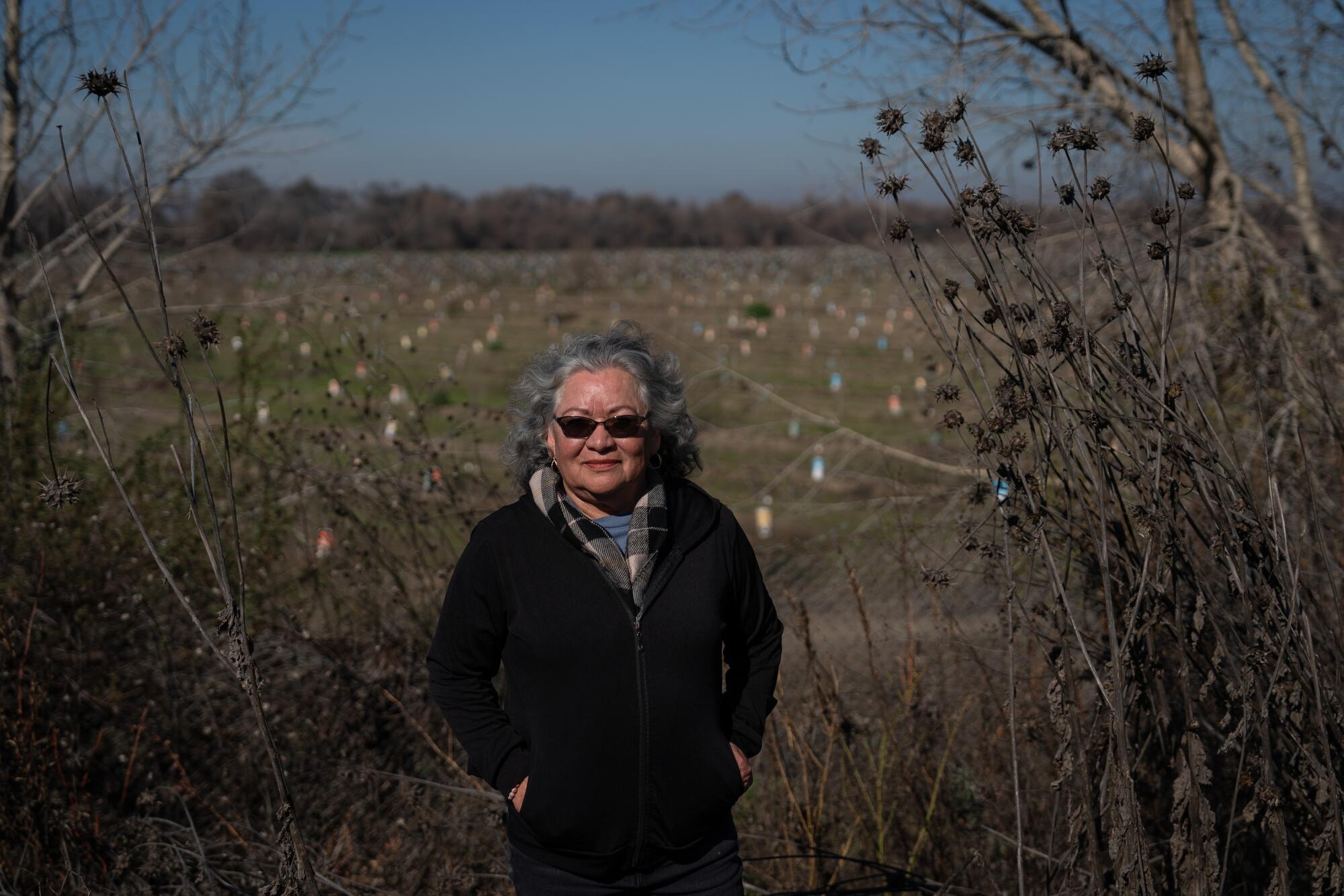
Lilia Lomelí-Gil, a community leader, said she hopes the restored floodplains will help improve the water supply.
“Because of opening up the water to flow out here, it just replenishes the water source,” Lomelí-Gil said.
She walked on a tree-lined trail beside her neighborhood in the Grayson Riverbend Preserve, where workers had arranged small trees in rows to prepare for replanting the floodplain.
Like others in the community, Lomelí-Gil comes from a family of farmworkers and grew up laboring in the fields picking tomatoes, onions and walnuts. She said the nature preserves are improving life for residents in various ways, including flood mitigation.
“We’ve had a lot of close calls,” Lomelí-Gil said.
Residents were afraid last year when they heard about flooding in other towns, she said, and they watched the floodwaters rise as close as 2 feet from some low-lying yards.
Lomelí-Gil said she believes Grayson was spared because the expanded floodplains served as a relief valve.
“If it had not been opened up to let the water flow sideways, it would have flooded Grayson as well,” she said.
She said she’s convinced that restoring more floodplains would help other towns along the river.
Throughout the Central Valley, many other communities are in harm’s way, and low-income communities are disproportionately at risk. The state’s regional flood protection plan calls for dramatically increasing investments in projects such as restoring floodplains and strengthening levees.
“We have so many people at risk of catastrophic flooding,” Rentner said.
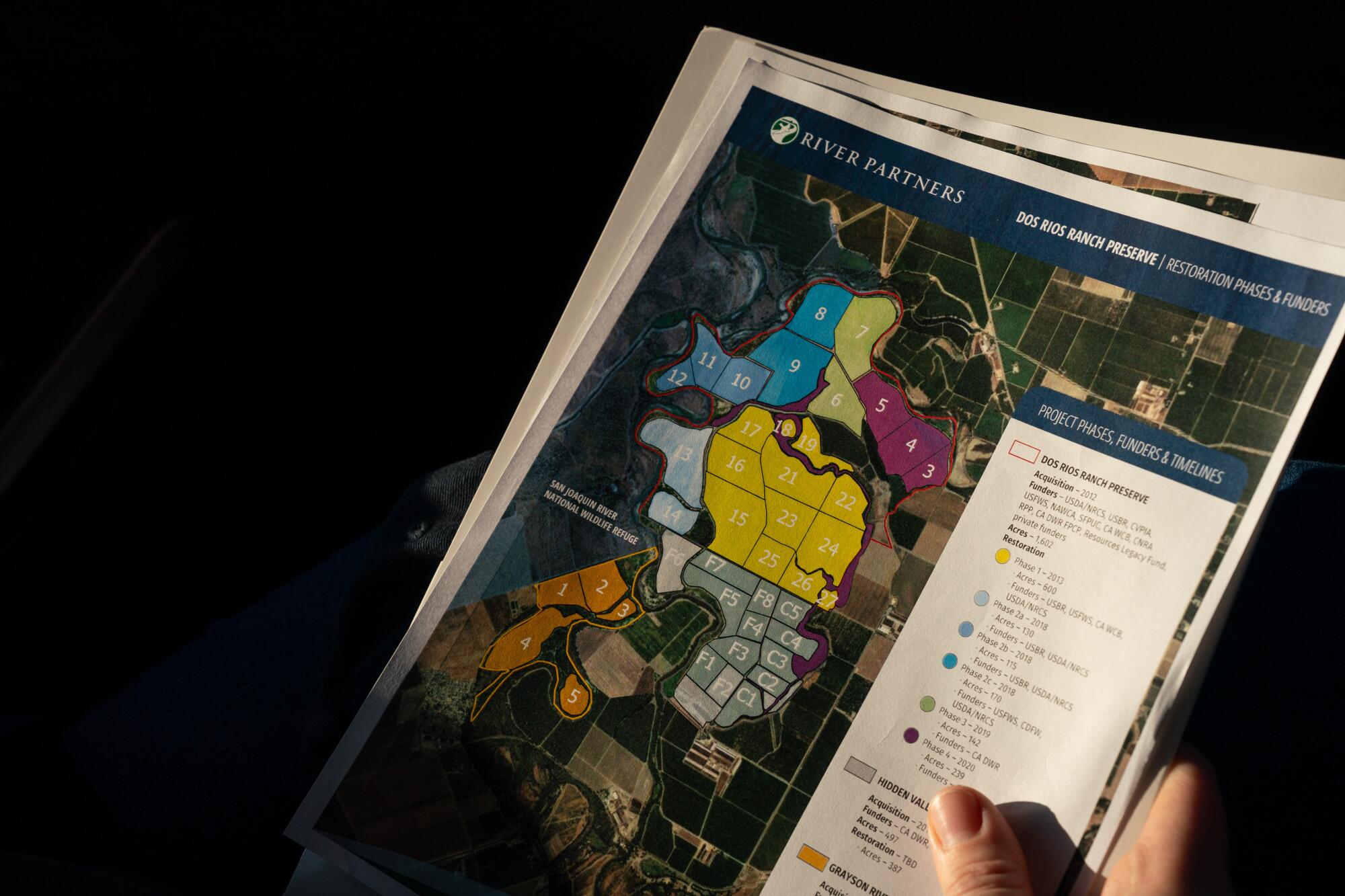
She held a map showing areas all along the San Joaquin River where other proposed restoration projects could replace farmland to further reduce flood risks downstream.
“You can actually reduce water surface elevations in Stockton tremendously if you can realize reconnection of the floodplain,” she said.
Along with River Partners, other conservation groups and state agencies have also been leading efforts to make more room for rivers.
Sarah Puckett, Central Valley program director for the group American Rivers, said reconnecting rivers with floodplains is a cost-effective way to solve multiple problems.
“When we work with nature, not against it, we can deliver a lot of benefits for communities, the environment, and the economy in the face of increasing climate impacts,” Puckett said.
State officials have recently emphasized that as climate change brings more precipitation as rain instead of snow, the state needs to prepare to capture greater flash floods from storms — and store more water underground.
A change in state law that was approved last year could help bring more funding for groundwater recharge projects by designating aquifers as “natural infrastructure.” Rentner said River Partners supported the change as a way to tap into funds earmarked for water storage investments to support floodplain restoration projects.
While some projects are aimed at bringing back natural habitats, others involve flooding agricultural land for part of the year to create habitat for fish and birds. This is being done northeast of Davis in the Yolo Bypass, where water from the Sacramento River is routed to rice fields to create seasonal habitat.
Biologist Jacob Katz, lead scientist for the group California Trout, said this effort, called the Nigiri Project, has shown over the past 13 years that flooded fields are highly effective feeding grounds for salmon and other fish. He calls it floodplain “reactivation.”
“Fish really depend on the food that is produced in the productive, fertile wetland food webs,” Katz said. “The floodplains are basically the pantry. They’re the engines of natural productivity, the great engines of natural wealth.”
Dangerous floods, severe drought, extreme heat and polluted air have permanently altered life in California’s San Joaquin Valley. Can it adapt?
But few of these natural engines remain intact in California.
The Central Valley historically had about 4 million acres of wetlands and riparian areas, forming a vast watery mosaic of marshes, vernal pools, rivers in braided channels and lakes fringed with tules and forests. Since the mid-1800s, an estimated 95% of those wetland habitats have been lost.
With fish populations now in decline, it’s vital to restore ecological function to as many floodplain areas as possible, Katz said, and an expanding cluster of projects along the Sacramento River will help.
“The more we can approximate the different patterns of water running through that landscape, the better off those fish are going to be,” Katz said. “Bringing puddles back into the landscape, in the places that they make sense, is actually revolutionary.”
Bringing back native vegetation in parts of the valley has also been a major shift. At Dos Rios Ranch, Indigenous people now have a place where they can collect plants for basket weaving and other traditional uses.
“I cannot tell you how happy this makes a lot of people,” said Kimberly Stevenot, a Northern Sierra Mewuk elder and basket weaver.
Stevenot, a founding member of the California Indian Basketweavers Assn., said she and other weavers have often had to drive long distances to find areas where they can gather plants.
“Having these materials where they’re easily accessible and workable makes it a lot easier,” she said. “It’s important now because we’re having a cultural revitalization.”
The signs of a rebounding ecosystem are readily visible among the willows and cottonwoods at the Dos Rios preserve.
As Rentner walked through the forest, a Swainson’s hawk circled overhead. A few minutes later, a flock of geese soared past.
“It’s coming back to life,” Rentner said.
She pointed out tree stumps that bore the marks of gnawing beavers.
“We welcome them,” she said. “We plant many more trees than they could ever chew down.”
Just as the beavers will continue their natural engineering, the two rivers now have space to carve new meandering channels in the floodplain.
Rentner said the project is all about embracing those natural dynamics.
She summed up the approach with three words: “rewilding, unconstraining, reconnecting.” And that, she said, is something California needs to do on a larger scale.

