Storm runoff is seen along the LA River in Atwater Village on Monday, Feb. 5, 2024 in Los Angeles, CA. (Dania Maxwell / Los Angeles Times)
- Share via
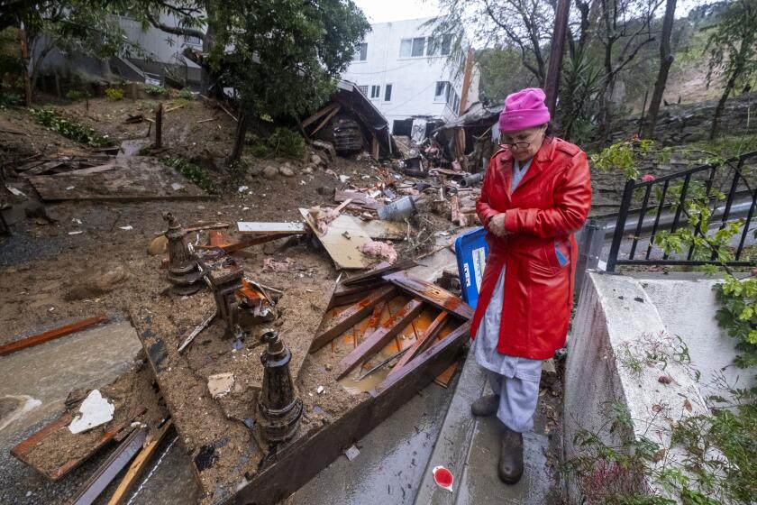
Amid hammering rainfall, viscous mud flows and multiple state emergency declarations, Los Angeles County’s Byzantine flood control system has thus far absorbed near-record precipitation — a feat that officials say was made possible by extensive preparations, including the massive dredging of key debris basins and clearing of storm drains in areas deemed most susceptible to flooding.
But as the most intense period of rain passed into history Monday, the concern among local engineers and officials was whether flood infrastructure built over the last 100 years and based on 20th century hydrologic records can continue to keep up with increasingly frequent extreme weather events propelled by climate change.
“The system can handle multiple atmospheric rivers, as long as they have some spacing between them,” said Dena O’Dell, a spokeswoman for the U.S. Army Corps of Engineers. “When they are back-to-back without a break, the system could be tested.”
Flood-control dams above the communities of Arcadia, Sierra Madre, Pacoima, Sun Valley and Sunland face risk of overflowing, officials say.
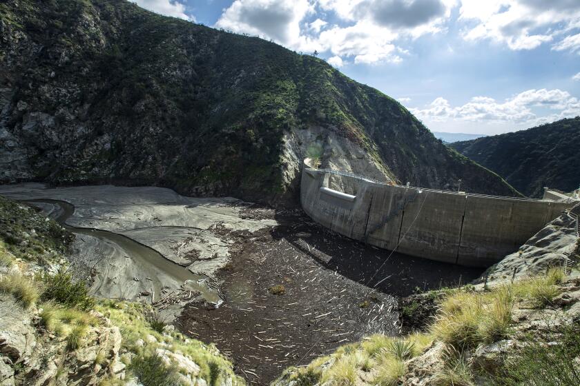
From Sunday and into Monday, the sprawling network of 18 dams, 487 miles of flood-control channels, 3,300 miles of underground storm drain channels and dozens of debris basins managed to steer countless gallons of water and flowing debris away from communities in historic flood plains.
But tons of that sediment have been “filling the county’s 14 reservoirs at an accelerated pace,” said Mark Pestrella, director of L.A. County Public Works. “We currently have more than 15 million cubic yards of sediment in our reservoirs.”
“If this pattern continues, it will be very difficult to keep up with the sediment,” he said. The price tag for removing it and hauling it to placement sites across the foothills, he said, “is about $500 million.”
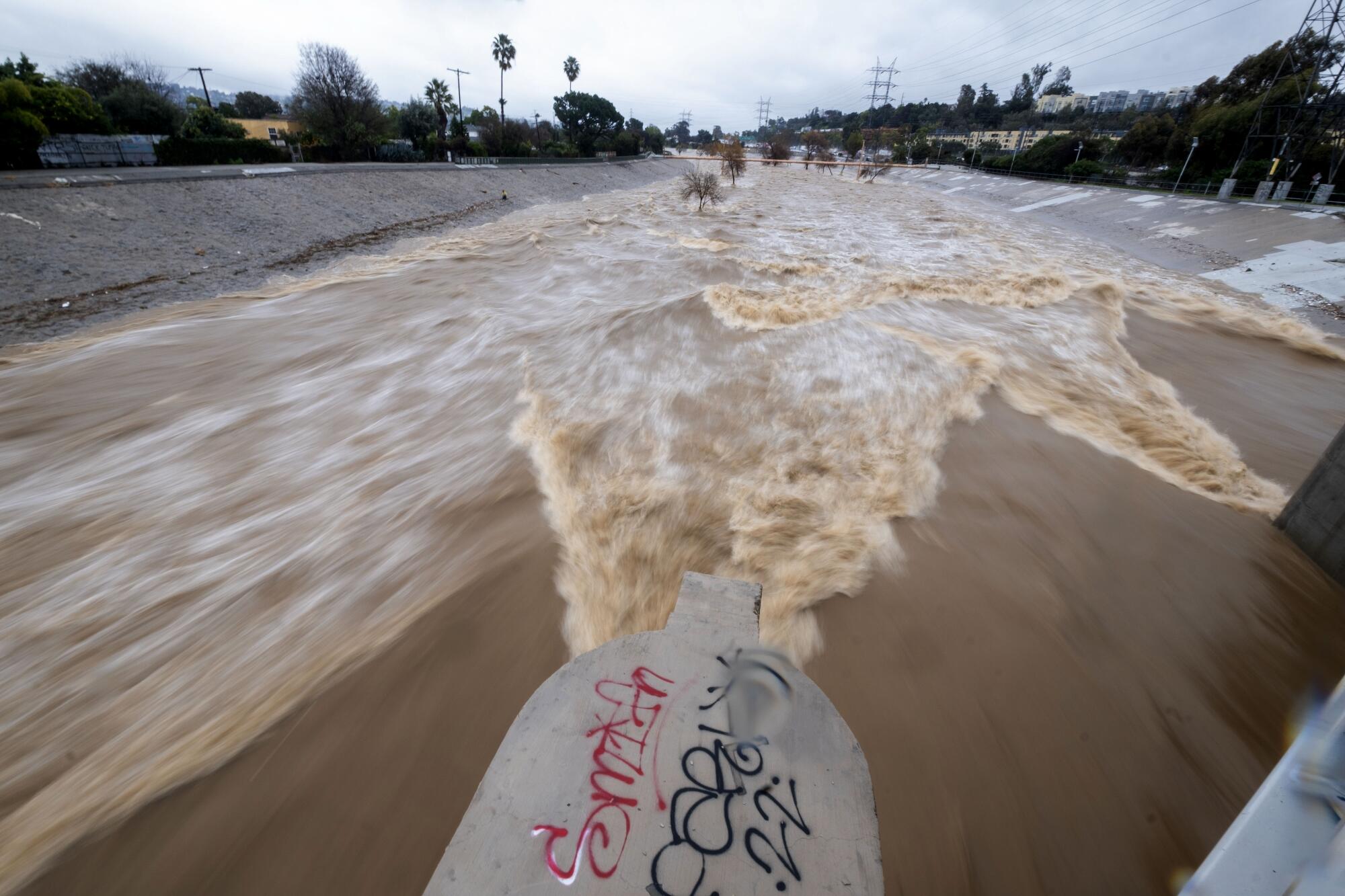
Scientists suggest that epic storms to come will challenge the county’s aging flood-control system.
A recent UC Irvine study suggests that a 100-year flood — a deluge that has a 1% chance of occurring in any given year — could rapidly overwhelm the area’s principal waterways: The Los Angeles River, the Dominguez Channel, Compton Creek, and the San Gabriel River.
“All we initially wanted from the infrastructure was economic development and safety from flooding,” said Bret Sanders, a professor of civil and environmental engineering at UC Irvine and co-author of the study published in the scientific journal Nature Sustainability. “So, what we’ve got are concrete race tracks that sweep water into the Pacific Ocean as quickly and efficiently as possible.”
The Los Angeles Basin endured a series of damaging floods during the early part of the last century, and especially devastating rains during the El Niño winter of 1913-14, which prompted local leaders to form the Los Angeles County Flood Control District in 1915.
The entire 51-mile L.A. River flood control channel was built in 1938 in response to the destruction caused by a major flood. It was designed to serve three main purposes: keep flood water in the channel from destroying lives and property, manage the discharges from sewage treatment plants, and flush storm water to the Pacific Ocean.
In a warming world, Sanders said, the region can expect an increase in epic downpours that could rapidly overwhelm that aging flood-control channel and others, unleashing floodwaters across adjacent low-lying working-class communities in cities such as Long Beach.
Chilling rain, swirling gray clouds and blustery winds rolled into Southern California on Sunday as what was anticipated as the strongest storm of the season promised near-record rainfall and flash flooding through Tuesday.
Future intense storms are a concern for federal engineers who have found that three major dams built by the U.S. Army Corps of Engineers in Southern California — Whittier Narrows, Prado and Mojave River — are structurally unsafe and could collapse in a significant flood event.
Unusually heavy rains could trigger a premature opening of 67-year-old Whittier Narrows Dam’s massive spillway, according to the report, posing a potentially catastrophic risk to the more than 1 million people who live and work in the San Gabriel River flood plain east of downtown Los Angeles.
Under certain conditions, the spillway on the dam built in a natural gap in the hills about 11 miles east of downtown Los Angeles, “can release more than 20 times what the downstream channel can safely contain within its levees,” the report said. “Depending on the size of the discharge, flooding could extend from Pico Rivera, immediately downstream of the dam, to Long Beach.”
Issues with the spillway gates have been addressed, O’Dell said. Remaining work at the milelong structure includes “placing soil cement on the crest and downstream slope of the embankment to protect against erosion and failure, if overtopped, and installing graded filter-drainage blankets and trench drains to control seepage.”
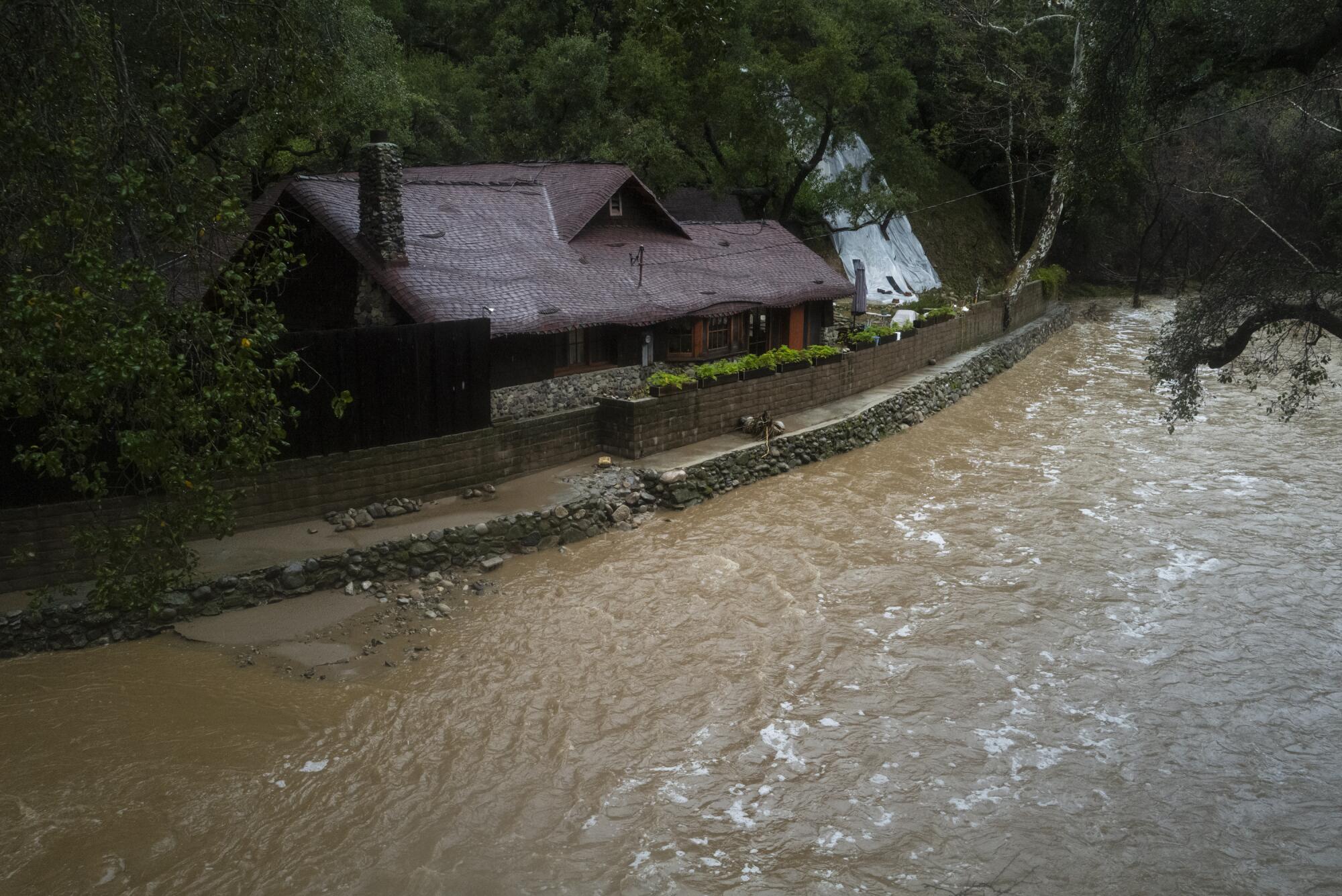
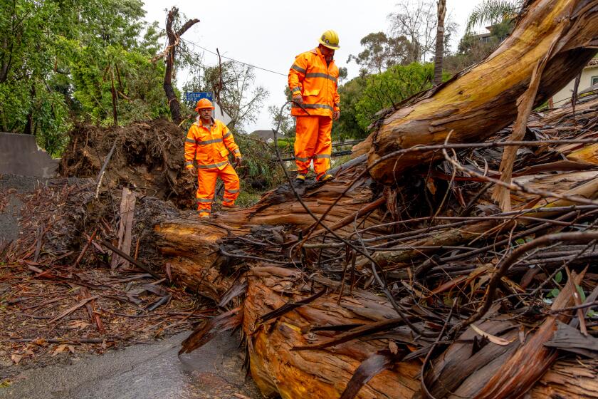
A more pressing concern: the current storm has been adding a new layer of debris — soupy mud, dirt, toppled trees and boulders — to county flood-control systems, including five county reservoirs along south-facing San Gabriel Mountain slopes. Those structures were also innundated by debris during a series of January storms a year ago.
A significant loss of vegetation due to the Bobcat fire has also heightened the risk of flooding, debris flows and mudslides.
“Overall, our goal is to remove 15 million cubic yards of sediment by 2038,” said Kerjon Lee, a spokesman for Public Works. “About 4.4 million cubic yards of sediment and debris was removed between 2019 and 2023 — enough to fill the Rose Bowl over 10 times.”
Los Angeles County Supervisor Kathryn Barger, whose district includes much of the southern flanks of the San Gabriel Mountains, said, “Adequately protecting our communities from flooding will increasingly depend upon our ability to both maintain and evolve the public infrastructure we have in place, which was designed over a century ago.”
“Well after this storm passes there will still be a lot of work to do,” she said.
Toward a more sustainable California
Get Boiling Point, our newsletter exploring climate change, energy and the environment, and become part of the conversation — and the solution.
You may occasionally receive promotional content from the Los Angeles Times.
