Cooler weather to bring rare May rain, snow into Southern California

- Share via
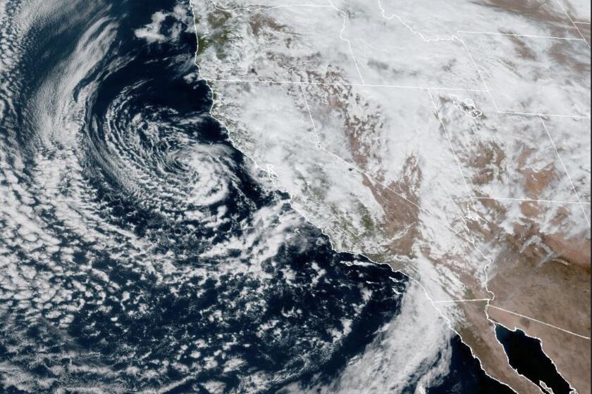
After a few warm days, Southern Californians are again seeing temperatures drop as a low-pressure system moves down the state, bringing rare rain and mountain snow for the first week of May.
Temperatures across the region fell Monday by about 10 to 20 degrees from Sunday as a strong marine layer from the coast brought light rain to the Southland, according to the National Weather Service.
Highs are expected to be in the mid-50s to 60s through Friday, “a far cry from what we had Saturday,” said Ryan Kittell, a weather service meteorologist in Oxnard. Over the weekend, the first real wave of warm temperatures this year spiked to the 80s and 90s in parts of inland Southern California, but the high temperatures were short-lived.
It might seem like recent weather has been dominated by new phenomena, but experts say these terms have been around for decades in the scientific world and are simply new to the public discourse as weather becomes more extreme.
“Typically this time of year we’re looking at highs between upper 60s and mid-70s, so we’re looking at a good 10 degrees below normal,” Kittell said.
Early Monday, much of Los Angeles County got a light drizzle from a “deep marine layer,” which, Kittell said, will deepen to cloud cover as the low-pressure system moves down from Northern California by Tuesday.
Most of the rain early Monday was minor, but Kittell said that will change as the week goes on.
“As we get into tomorrow and especially Wednesday, we’re looking at more actual, legitimate rain showers,” Kittell said. From Tuesday through Thursday, rainfall totals are expected to hover around half an inch for most of Los Angeles County, with some areas seeing even more — totals that are significant for May, but well below the storms that brought record-setting rainfall this winter.
San Bernardino County’s mountains could also see around a half-inch of rainfall this week, as well as many regions across Riverside, Orange and San Diego counties, where the heaviest rainfall is expected Wednesday and Thursday, according to the National Weather Service. Forecasters noted that San Diego typically averages only three days of measurable rainfall for the whole month of May, a mark the region will easily reach just this week.
Los Angeles County gets a May rainstorm every three to five years that can total around half an inch, but it’s not expected each year, Kittell said.
“It’s rare in that we don’t get rain every May, but it’s not unprecedented,” he said.
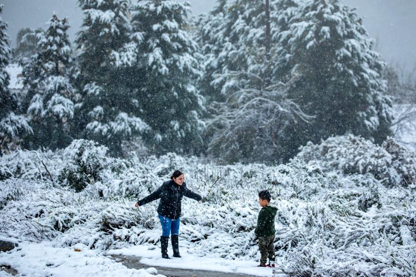
This week’s weather will also bring a chance for thunderstorms, and snow is likely at elevations around 5,000 feet — including the Tejon Pass.
“We are expecting thunderstorms,” Kittell said, with the greatest likelihood late Wednesday into Thursday. “With those thunderstorms, we could see small hail, gusty winds.”
‘Yes, we do get weather out here’: The epic winter storm has moved out of Southern California, but more rain is in the forecast this week.
Snow levels will drop by Tuesday to around 4,000 to 5,000 feet elevation, with a few inches of accumulation expected.
“All the snow will stay up in the mountains, but most mountain areas should expect an inch or two,” Kittell said, with as much as eight inches possible in the highest elevations. He said the Grapevine shouldn’t get too bad, but delays are possible.
“Anyone expecting to travel through that area should be up to date on the weather,” Kittell said.
Forecasts show temperatures won’t vary too much through Friday, but by the weekend, the region should start to slowly be drier and warmer.
The cool temperatures mean there’s less of a concern for rapid snowmelt across the state — and subsequent flooding — but rivers are still running very high, fast and cold, officials warned.
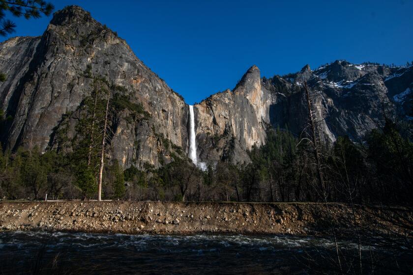
With flooding that is less than expected, park officials reopened Yosemite Valley on Sunday ahead of schedule but with limited services.
Yosemite National Park closed over the weekend due to flooding concerns from a high Merced River, but park officials said the river did not rise as high as expected, partially reopening the park Sunday. But as the park fully opened Monday, park officials warned visitors the rivers remained “extremely dangerous.”
“Do not go into or even approach rivers in Yosemite,” the park said in a statement on Twitter.
More to Read
Sign up for Essential California
The most important California stories and recommendations in your inbox every morning.
You may occasionally receive promotional content from the Los Angeles Times.


