Warming will make California downpours even wetter, study says
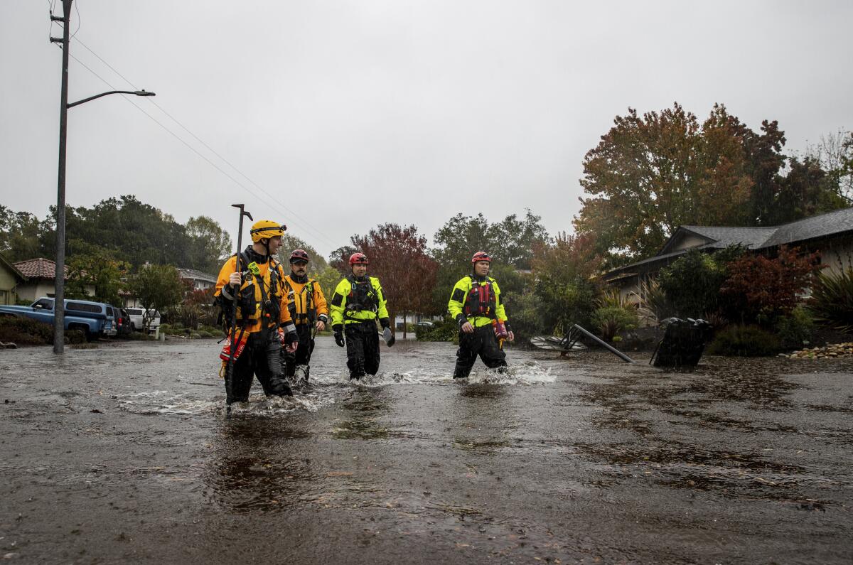
As damaging as it was for more than 32 trillion gallons of rain and snow to fall on California since Christmas, a worst-case global warming scenario could juice up similar future downpours by one-third by the middle of this century, a new study says.
The strongest of CaliforniaŌĆÖs storms from atmospheric rivers, long and wide plumes of moisture that form over an ocean and flow through the sky over land, would probably get an overall 34% increase in total precipitation, or 11 trillion gallons more than just fell. ThatŌĆÖs because the rain and snow is likely to be 22% more concentrated at its peak in places that get really doused, and to fall over a considerably larger area if fossil fuel emissions grow uncontrolled, according to a new study in the journal Nature Climate Change on Thursday.
The entire western United States would probably see a 31% increase in precipitation from these worst-of-the worst storms in a souped-up warming world because of more intense and widely spread rainfall, the study said.
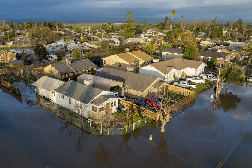
The total for repairs across the state could be as much as $1 billion, authorities said.
Scientists say the worst-case scenario, which is about 4.4 degrees Celsius (7.9 degrees Fahrenheit) of warming since pre-industrial times, looks a bit more unlikely since efforts are being undertaken to rein in emissions. If countries do as they promise, temperatures are on track to warm about 2.7 degrees Celsius (4.9 degrees Fahrenheit), according to Climate Action Tracker.
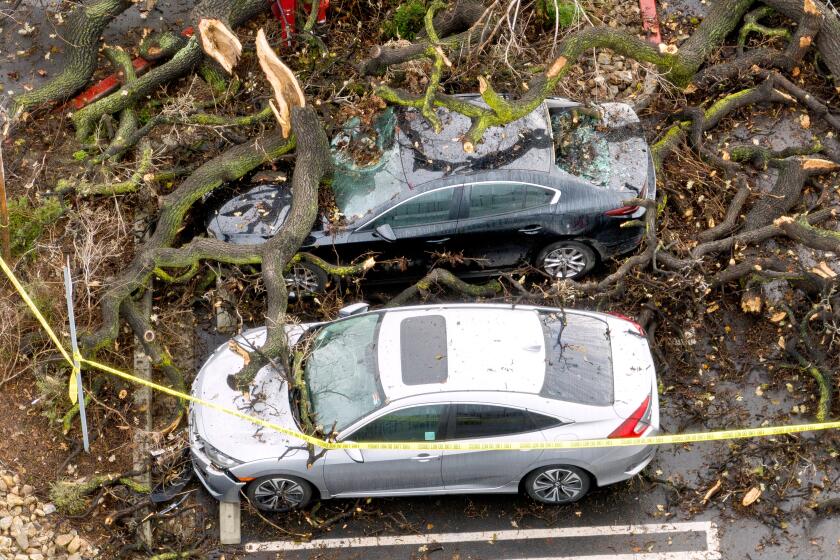
The National Weather Service calculated that California averaged 11.47 inches of precipitation statewide from Dec. 26 to Jan. 17 ŌĆö including 18.33 inches in Oakland and 47.74 inches in one spot 235 miles north of San Francisco ŌĆö because of a series of nine devastating atmospheric rivers that caused power outages, flooding, levee breaks, washouts and landslides. At least 20 people died.
ŌĆ£It could be even worse,ŌĆØ said study author Ruby Leung, a climate scientist at the U.S. Pacific Northwest National Lab. ŌĆ£We need to start planning how would we be able to deal with this.ŌĆØ
Leung used regional scale computer simulations to predict what the worst of the western winter storms will be like between 2040 and 2070 in a scenario in which carbon emissions have run amok. She looked at total precipitation, how concentrated peak raining and snowing would be and the area that gets hit. All three factors grow for the West in general. California is predicted to get the highest increase in peak precipitation, while the Southwest is likely to see more rain because of a big jump in area of rainfall. The Pacific Northwest would see the least juicing of the three areas.
A new state plan for the Central Valley calls for spending as much as $30 billion over 30 years to prepare for the dangers.
Overall precipitation is a bit lessened from adding all the factors, because just as the peak rainfall grows the rainfall on the edges of the storms is predicted to weaken, according to the study.
There are two types of storms that Leung said she worries about: flash floods from intense rain concentrated over a small area and slower, larger floods that occur from rain and snow piling up over a large area. Both are bad, but the flash floods cause more damage and hurt people more, she said.
And those flash floods are likely to get worse from what LeungŌĆÖs paper calls a ŌĆ£sharpeningŌĆØ effect that happens in an ever-warmer world. That means more rainfall concentrated in the central areas of storms, falling at higher rates per hour, while at the outer edges rainfall is a bit weaker.
This happens because of the physics of rainstorms, Leung said.
Not only can the atmosphere hold 4% more moisture per degree Fahrenheit (7% per degree Celsius), but itŌĆÖs what happens in the storm that changes and makes the precipitation come down even more, Leung said. YouŌĆÖve got air rising inside the storm with more water vapor condensing to produce rain and snow; it then releases heat ŌĆ£that kind of causes the storm to become more vigorous and stronger,ŌĆØ she said.
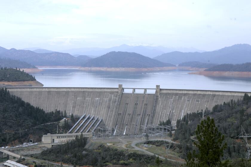
Rising reservoirs and a deep snowpack have officials crossing their fingers that the hydropower will have a good year, helping power grid operators.
When water vapor condenses it comes down as rain and snow along the edges of the storm, but heating squeezes that falling precipitation in toward the middle, Leung said.
ŌĆ£The concepts and impacts of how precipitation features are likely to change are well quantified and well explained,ŌĆØ said David Gochis, an expert in how water affects the weather at the National Center for Atmospheric Research in Boulder, Colo., who wasnŌĆÖt part of the study.
When she used computer simulations, Leung chose the most severe worst-case scenario for how the worldŌĆÖs carbon emissions will grow. ItŌĆÖs a scenario that used to be called business as usual, but the world is no longer on that track. After years of climate negotiations and the growth of renewable fuels, the globe is heading to less warming than the worst case, according to climate scientist Zeke Hausfather of tech company Stripe and nonprofit Berkeley Earth.
ŌĆ£We are providing more of a worst-case scenario, but understanding that if we do take action to reduce emissions in the future, we could end up better,ŌĆØ Leung said. ŌĆ£If we control the emissions and lower the global warming in the future, we can limit the impacts of climate change on the society, particularly flooding and extreme precipitation that we are talking about in this study.ŌĆØ
More to Read
Toward a more sustainable California
Get Boiling Point, our newsletter exploring climate change, energy and the environment, and become part of the conversation ŌĆö and the solution.
You may occasionally receive promotional content from the Los Angeles Times.
