Fires have closed California forests, roads. These hacks can save your Labor Day plans
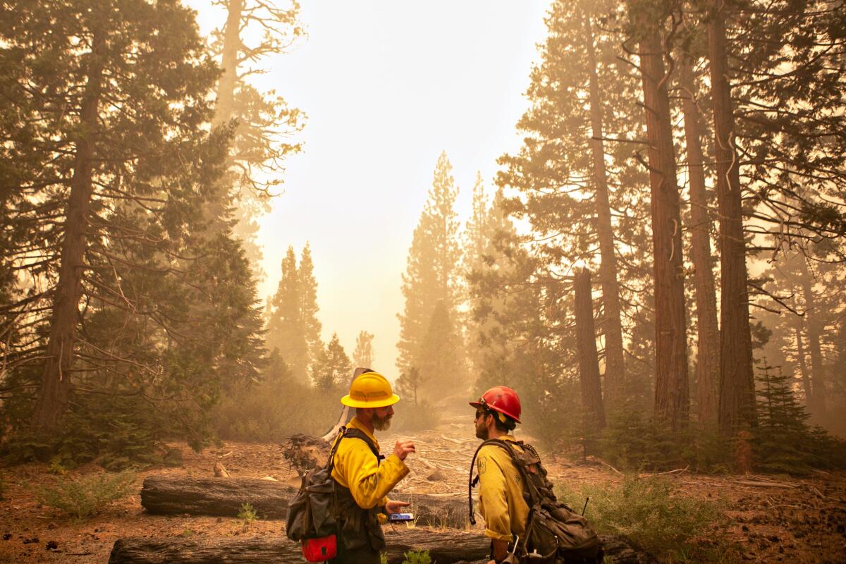
The U.S. Forest Serviceās decision to close almost all of Californiaās national forests means that thousands of Southern Californians must scrub their Labor Day plans, especially those travelers headed for Mammoth and nearby mountain resorts.
Three things to remember:
- These closures mean no hiking or camping through Sept. 17 anywhere in the Angeles, Los Padres, San Bernardino and Cleveland national forests that surround L.A.
- They also shut activities at mountain resorts on Forest Service land, including Mammoth, Snow Valley, Big Bear and Mountain High (details below).
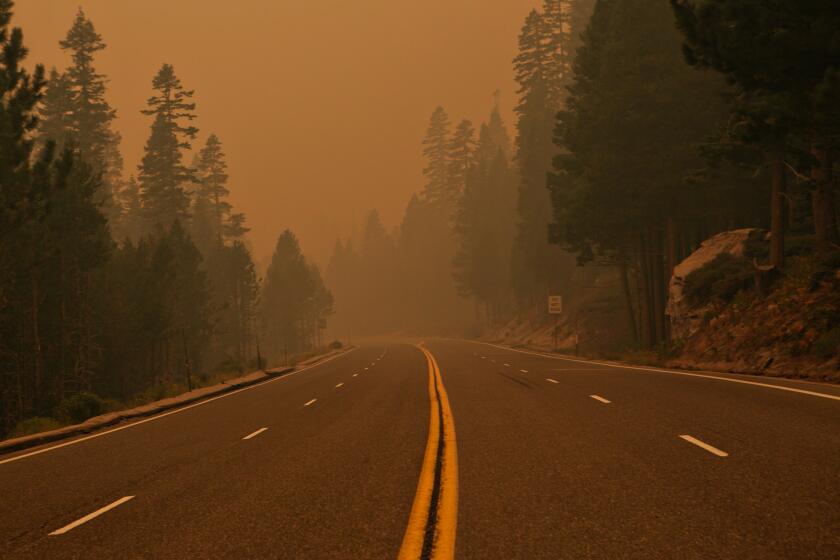
- In conjunction with this move, Caltrans has closed several roads (details below), but most routes through national forests are still open. Know, for instance, that if you want to drive up the Angeles Crest Highway, youāll have to turn around at Clear Creek, seven miles above La CaƱada-Flintridge.
So what can you do? Here are some ideas for the long Labor Day weekend.
Verdugo Mountains: These are smaller mountains below the San Gabriel Mountains above Glendale, Burbank and La CaƱada-Flintridge. The Beaudry Motorway Loop to Tongva Peak (six to seven miles) and the Vital Link Trail (three to five miles) provide a good workout with nice views. One caveat: The routes are very exposed, which means bring lots of water and go early morning or late evening. Hikespeak outlines more options in the Verdugos here.
Santa Monica Mountains: There are lots of good hiking and biking options in the Santa Monicas, from segments of the Backbone Trail to cool high points such as Sandstone Peak and the Hidden Pond Loop in Point Mugu State Park. Grab a map or a trail app to find worthy routes.
Orange County: If you havenāt explored O.C. on foot, this weekend may be your opportunity. The Upper Newport Bay Preserve takes you around the coastal wetland with views of the entire bay (eight miles out and back). Whiting Ranch Wilderness Park near Crystal Cove State Park will take you to red rock formations that will remind you of the Southwest. Here are 12 trails to try in OC.
Whether youāre looking for classic summertime activities like a picnic in a park or ideas for hikes and outings, weāve got your plans for the final days of summer.
Ocean walks: Shift from the mountains to the sea with bluff trails that keep you above the beach. The Bluffs Beach Trail at San Onofre State Beach keeps you on a high 3.8-mile loop. The Salt Creek Trail in Orange County winds through Dana Point and Laguna Niguel in a 7.6-mile out-and-back route. Check out more ocean-hugging options here.
State and national parks in Southern California: The forest closures donāt affect trails and routes in the Santa Monica Mountains National Recreation Area and state parks such as Kenneth Hahn in the mid-city area, Crystal Cove near Newport Beach, Malibu Creek in Calabasas and Chino Hills. The coastal parks are great Labor Day destinations but you can expect large crowds this holiday weekend. Plan accordingly.
Local parks: Griffith and Elysian parks are good places to get moving outdoors in the urban realm. You can avoid some of the biggest crowds by going early or late in the day (trails in Griffith Park are open until 10 p.m.). Get out a map or app and look for less-well-known routes, such as the shady Cedar Grove in Griffith Park. Other big regional parks to try: Franklin Canyon Park on the Westside and OāMelveny Park in Granada Hills.
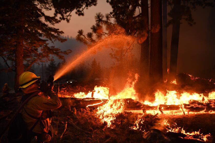
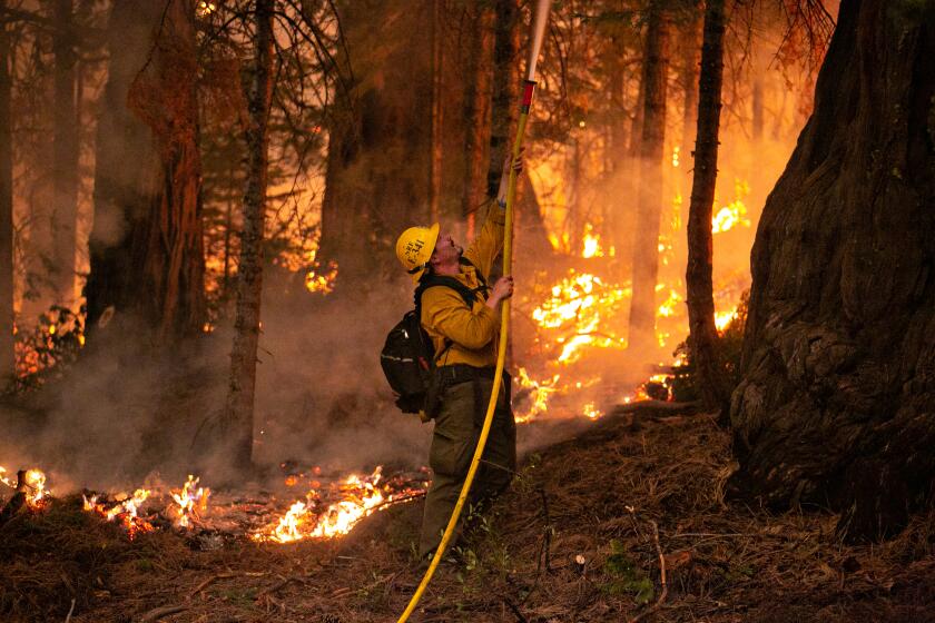
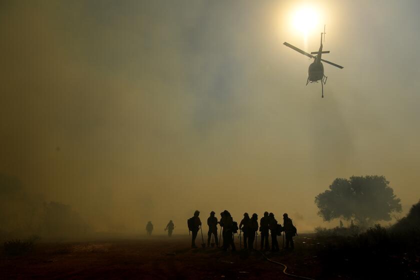
The U.S. Forest Service imposed the closures to āprovide public and firefighter safety due to the ongoing California wildfire crisis,ā its order said. It also underscored the need to prevent new fires rom starting and keep people out of areas that suddenly may become unsafe or need to be evacuated.
The action, which took effect at 11:59 p.m. Tuesday, shuts a hefty chunk of the stateās public land, including many campgrounds, through at least Sept. 17.
Caltrans tweeted that at 11:59 p.m. Tuesday its crews would close these Angeles National Forest routes: California 2 at Angeles Forest Highway (about 7 miles above La CaƱada-Flintridge); California 2 at Big Pines; California 39 at Gateway Center; Golden State Highway at Interstate 5; and the Old Ridge Route at California 138.
āWeāve got this thing kind of lassoed, and we just need to keep holding on to it with what weāve got,ā one official said.
L.A. County road closures include Upper Big Tujunga Canyon Road at California 2 and Angeles Forest Highway; Mt. Baldy Road at Shinn Road near San Antonio Canyon; Glendora Mountain Road and Glendora Ridge Road; and San Dimas Canyon Road. L.A. County updates road closures on the Public Works website.
Statewide, many roads through national forests remain open if thereās no immediate fire danger. āIf itās a state or county road, we donāt have jurisdiction to close it,ā said Deb Schweizer, public affairs officer for Inyo National Forest.
Among the affected mountain resort areas:
Mammoth Mountain in Inyo National Forest, has shut its Mammoth Bike Park, Via Ferrata, Adventure Center, Scenic Gondola and Camp High Sierra for the summer. Resort management has promised refunds to travelers with activity reservations, event tickets or lodging reservations for Camp Sierra.
The Mammoth resortās historic Tamarack Lodge will also be closed through at least Sept. 17, prompting the resort to offer help with rebooking or refunds.
At Snow Valley in the San Bernardino National Forest, which has been offering mountain biking and chair lift rides Fridays through Mondays, management slapped an āoperations suspendedā notice on the resort website late Monday night.
Californiaās national forests will temporarily be closed, officials with the Forest Service confirmed Monday.
In a message to the public, management noted that the closure is because of statewide needs, not any specific fire. The resortās leaders also said that they hope to reopen āat a momentās noticeā and stay open through Oct. 31.
Big Bear Mountain Resort suspended operations too. That means the bike park, Scenic Sky Chair and other summer activities wonāt operate until at least Sept. 17. Guests with reservations may reschedule or request a refund. (The Bear Mountain Golf Course remains open so far.)
At Mountain High in Angeles National Forest, disc golf and restaurant operations have shut down.
Mt. Baldy Resort in Angeles National Forest, typically offers zip lines, lift rides, tent cabins and dining at the Top of the Notch restaurant. As of 9 a.m. Friday, resort management still had not changed its website in the wake of the forest closures. An annual Run to the Top event scheduled for Labor Day has been canceled, to be rescheduled for October.
Forests surrounding Lake Tahoe have endured colonization, clear-cut logging and aggressive fire suppression that have upended the natural balance of wildfires.
Management of the Palm Springs Aerial Tramway, which operates in the San Bernardino National Forest, and the still-open Mt. San Jacinto State Park, had previously announced that it would close for annual maintenance Sept. 7 through Oct. 3.
Spokesman Greg Purdy said āthe tram has permission to continue operationsā through Labor Day, ābut camping and backcountry hiking are, of course, suspended.ā
Besides its effects on local hikers, the closures halt foot traffic on long-distance routes that cross national forest land, including the 2,650-mile Pacific Crest Trail. āIf you are out there now, itās time to start walking out to the trailhead,ā the Pacific Crest Trail Assn. posted in its online closure alerts.
The Forest Service order allows property owners and lease-holders within the forests to access their land, and it allows special-use permit-holders to āconduct administrative functions and to protect property and related assets.ā
In the Lake Tahoe region threatened by the Caldor fire, resorts closed days ago, and many are evacuating from the South Lake Tahoe area.
The U.S. Forest Service manages roughly 20 million acres of forest land in California. Of the stateās 9 million acres of āhighly volatile brushland,ā about 6 million are managed by the Forest Service.
Wherever you decide to go for fun in coming days, know where fires are burning.
You donāt want to drive anywhere near active fires or evacuation zones. The largest fires burning in California right now include the Dixie fire, northeast of Chico; the Caldor fire, closing in on South Lake Tahoe; the Monument fire, between Redding and Eureka; the Haypress fire in the Trinity Alps area; and the French fire near Lake Isabella northeast of Bakersfield.
Keep your eye on smaller fires closer to home too. The L.A. Times California wildfires map tracks all blazes in the state, listing when the fire started, number of acres burned and containment status. Inciweb, or the Incident Information System, (@inciweb on Twitter) is an interagency service that regularly updates large fires around the U.S. For each fire, you can drill down to see closures, alerts and evacuation orders as well as updates on the number of acres burning. (Thereās even a guide that explains how to use Inciweb.)
Also, check Cal Fire, the stateās Department of Forestry and Fire Protection, @cal_fire on Twitter, which provides updates too.
Wildfires also temporarily shuttered public lands last summer. Forest Service officials closed the stateās 18 national forests on Sept. 9, citing āunprecedented and historic fire conditions.ā Thirty state parks and parts of California 1, affected by the Creek fire in Sierra National Forest, also were closed.
More to Read
Sign up for The Wild
Weāll help you find the best places to hike, bike and run, as well as the perfect silent spots for meditation and yoga.
You may occasionally receive promotional content from the Los Angeles Times.

