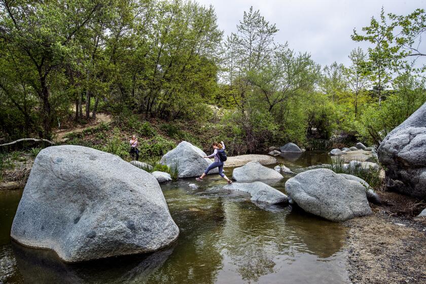
5 Inspiration Points around L.A.: Which hikes are worth it?
- Share via
Inspiration Points abound in the United States, including famous ones in Yosemite, Bryce Canyon and Grand Teton national parks, to name a few. Southern California has more than a handful of such named destinations. What bugs me is the expectation that hikers will be awed, but what if they’re not? You be the judge. Here are five local Inspiration Points and how I ranked the wow factor.
San Gabriel Mountains
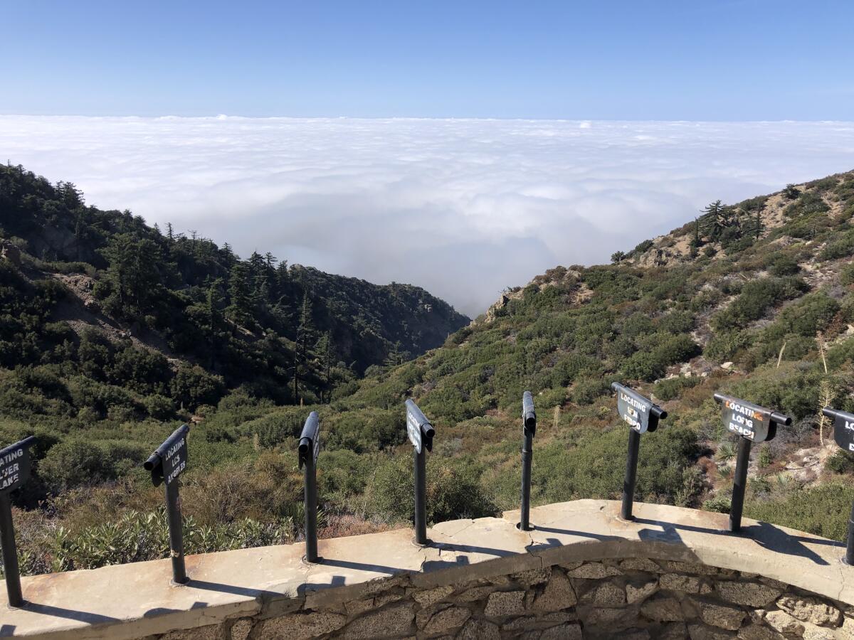
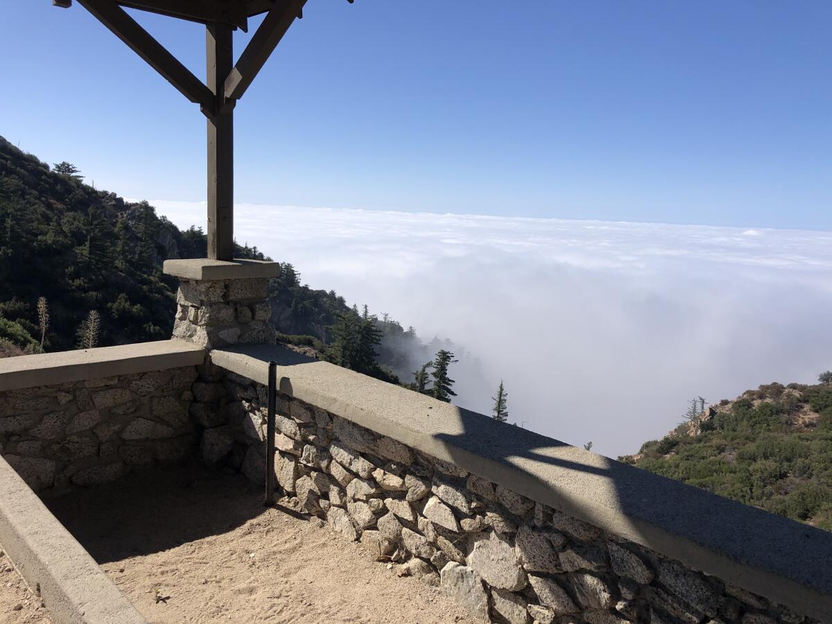
Best overall views: This spot deserves a big-air jump when you get to the top. It’s the best Inspiration Point in the L.A. area, and the hardest one to get to. From almost 5,000 feet up, you see distant Altadena, Pasadena, Glendale and, if you’re lucky, Santa Catalina Island, about 70 miles away. The Verdugo Mountains look like puny bumps from the canyon-top perch.
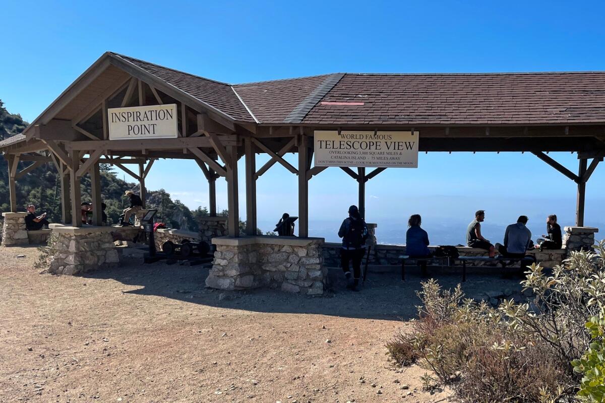
It’s no wonder that, more than a century ago, city hikers were lured here with the promise of seeing the “world famous telescope view overlooking 3,000 square miles.” Check out the old-timey metal sighting tubes that point you to L.A. neighborhoods and cities. Bonus point: Take a break at the reconstructed shelter (with benches and picnic tables) that promises much-needed shade on hot days. It’s a replica made in 1996 of the one visitors saw during the great hiking era of the 1880s-1930s.
The downer: Views could be fogged in or, on sunny days when you’re a sweaty mess, covered with a smoggy haze.
The dirt: There are several good, long hikes to Inspiration Point from Altadena. Here’s one: Start at the end of Lake Street and follow the Sam Merrill Trail to Echo Mountain. Then continue on the Sam Merrill, take Castle Canyon Trail or a fire road that follows the old Mt. Lowe Railway route. Whichever you choose, plan on hiking 10 to 12 miles round trip with about 2,800 feet of gain.
Why hike in Los Angeles? Lots of reasons. Use our guide to navigate 50 trails in Southern California, plus tips on gear and treats for the trail.
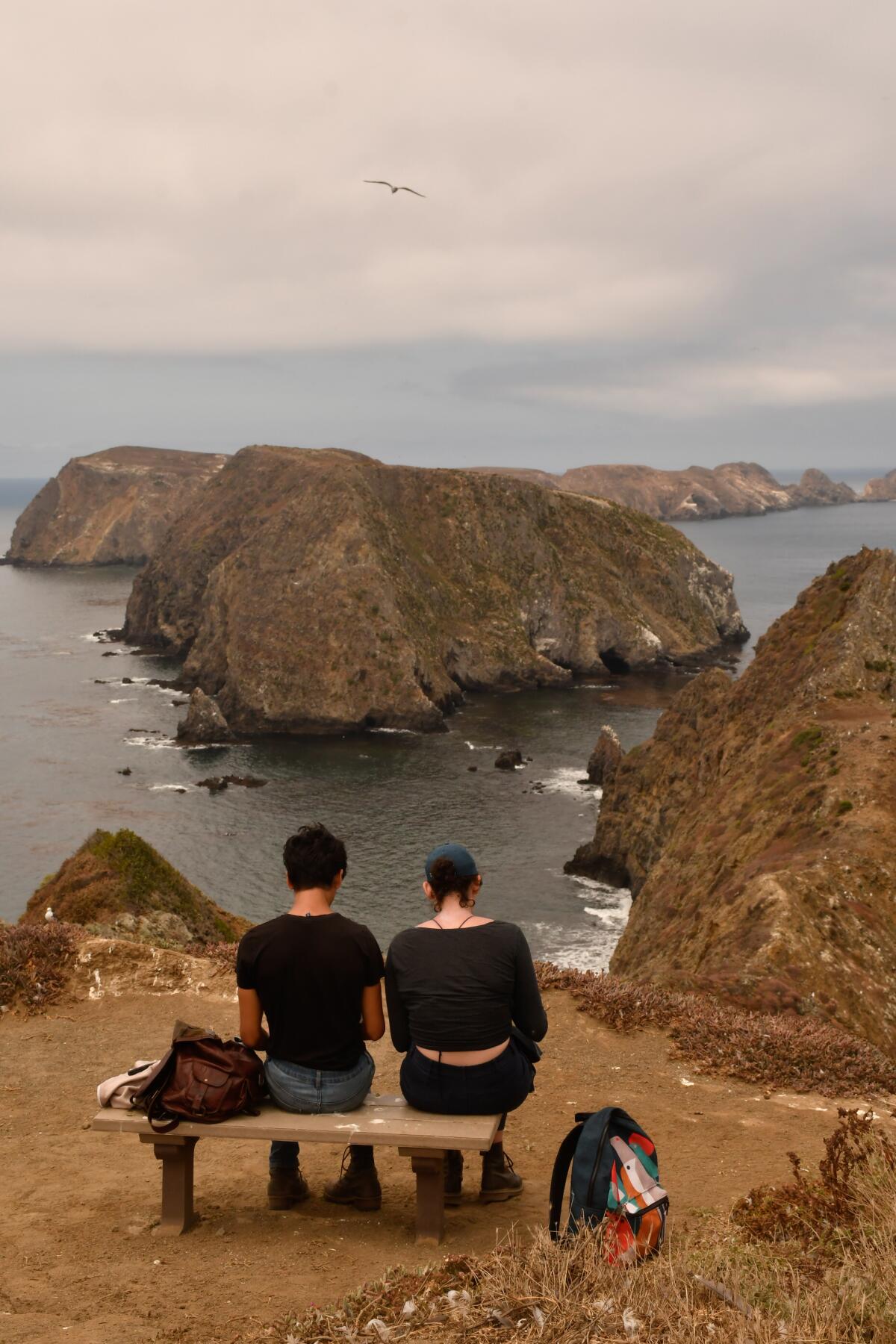
Anacapa Island, Channel Islands National Park
Best ocean views: This Inspiration Point on what technically is East Anacapa Island knocks it out of the ballpark for ocean vistas. The money view, looking down on the ocean from 200 feet, is from a chain of rocky knobs that resembles a whale’s spine. Gazing at the rugged islets will make you feel as if you’re miles away, maybe in a remote part of Baja, Mexico. The mile-long loop that leads to the point is easy. At the right time of year (March and April) and with the right amount of rain (more than we’ve had this year), bright yellow coreopsis bloom and make the view even more spectacular.
The downer: It takes about an hour to get to Anacapa by boat. And that mile-long trail? There aren’t many other hiking options on the smallest of the Channel Islands, four miles tip to tip. It’s also a nesting area for Western gulls in summer, which is great for birdwatching but not so great when birds divebomb if you get too close.
The dirt: Adult day-trippers pay $63 round trip to take a boat ride from Ventura Harbor with Island Packers, islandpackers.com
Will Rogers State Historic Park, Pacific Palisades
Best views for a quick escape: Location adds to the allure of this Inspiration Point. It’s close enough if you’re stuck in heavy Westside traffic, easy enough to hike and be home by dinner. Century City and DTLA dominate the view in one direction; turn and you’ll see the curve of the Santa Monica coast in the other. Is that the Palos Verdes Peninsula or Santa Catalina Island in the distance? If you’re lucky, you’ll see both. The point isn’t very high (750 feet) but does deliver on views. It’s easy enough for kids and marked well enough so you won’t get lost.
The downer: You’ll face stiff competition for the benches should you want to sit and savor the views. Bike riders, trail runners and selfie snappers love this spot too, which may make it crowded on weekends.
The dirt: It costs $12 to park for the day at Will Rogers State Historic Park. From the parking lot, you’ll find a signed (in places) 2¼-mile trail with little elevation gain to the top.
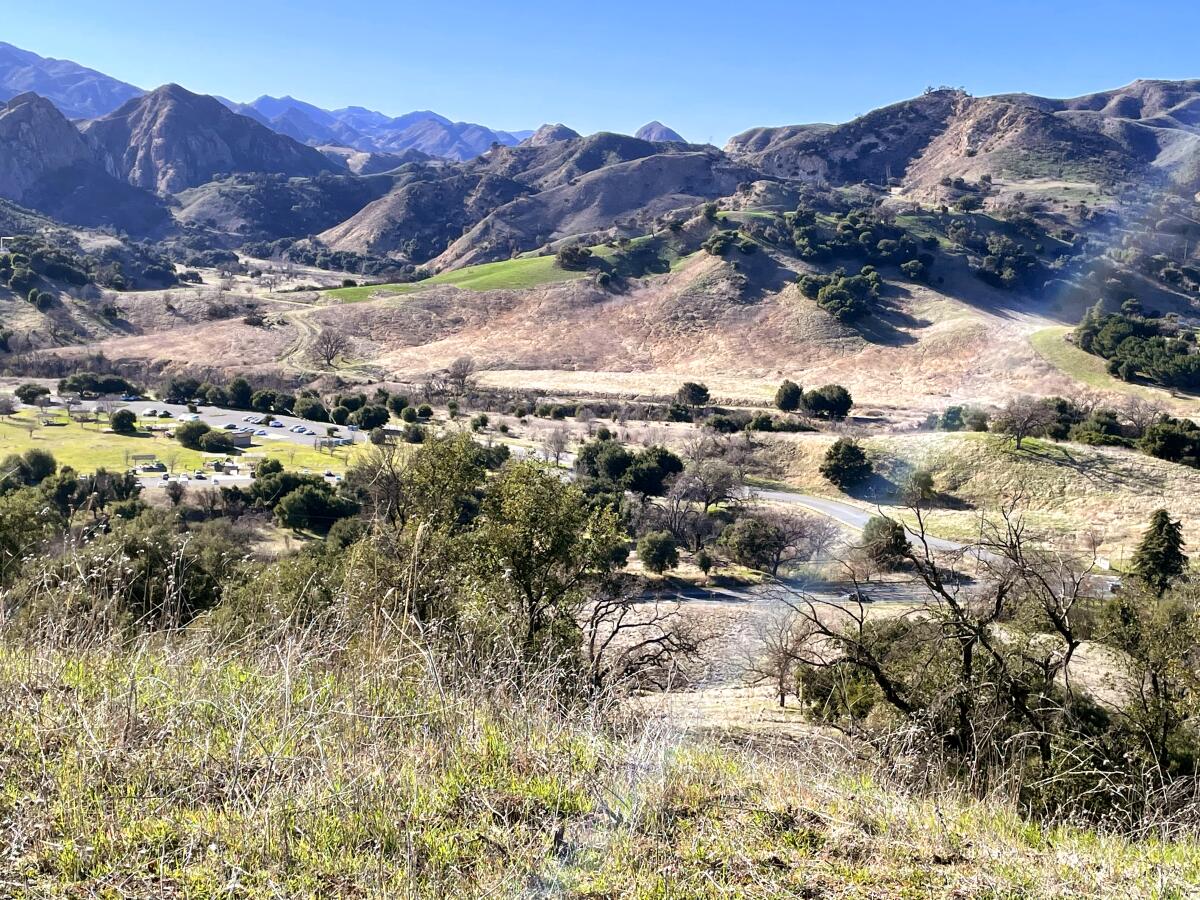
King Gillette Ranch, Calabasas
Best 360-degree views: This is the best spot to feel as if you’re surrounded by the Santa Monica Mountains, from the rocky outline of nearby Malibu Creek State Park (an easy second stop after this park) to Corral Canyon and other high points. Don’t let the castle-like dwelling fool you; you are welcome to explore this public parkland on foot.
The hike to the point is short at 860 feet, steep and unsigned, so keep your trail app or Google map open to make sure you stay on course. The trail is pleasant, fringed with oak and stands of black sage, white sage and ceanothus shrubs. It makes for a nice, woodsy walk, which you can extend by doing the longer Gillette Ranch Loop. And the name? The ranch once belonged to razor baron King C. Gillette, who hired architect Wallace Neff to design the place in the 1920s.
The downer: The surrounding views impress, but try to ignore the parts dotted with radio towers and houses you can’t afford. Would it kill someone to put up a sign at the point? Just sayin’.
The dirt: Start at the park at 26800 W. Mulholland Highway in Calabasas. It’s a little tricky to find the trailhead, but with your back to the white ranch building, start up an unsigned trail for about a mile and a half (consult this online map at bit.ly/GilletteRanchMap). Good for families with kids of all ages , as long as you bring snacks to lure little ones to the top.
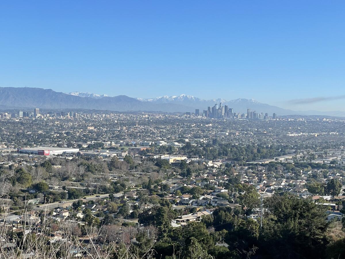
Kenneth Hahn State Recreation Area
Nature preserves provide a quiet alternative to national and state parks and a more intimate glimpse of nature.
Best oil-field views: Like oil fields? This spot is for you. Michael and Emilias Inspiration Point, the only personalized Inspiration Point of the five, looks out on a landscape of wells that have been pumping oil since the turn of the last century. I asked a mom with her three children whether this spot inspired her. “Yes, because it’s snack time,” she said, doling out goodies. OK, there’s that: You can sit and have a snack.
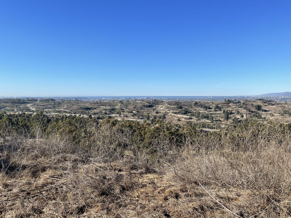
Not all is not lost on this mostly uphill hike. You can see a sliver of ocean too. A friend insists “a soft, glow-y light” in the early morning makes this view a sight to behold. She also hopes one day the oil fields will disappear and be claimed as parkland. Look in the opposite direction for impressive views that sweep east from Santa Monica to downtown Los Angeles. Bonus point: The Inspiration Point trail winds through pines and eucalyptus trees, remnants of the Olympic Forest planted for the 1934 Olympic Games.
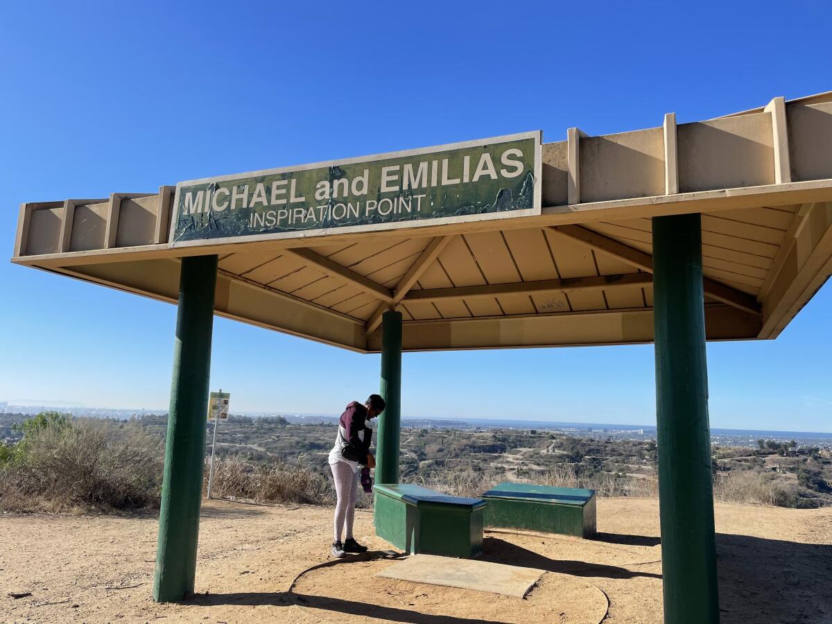
The downer: Well, the oil pumps, and the $6 to park, cash only, on weekends.
The dirt: Park at Kenneth Hahn State Recreation Area at 4100 S. La Cienega Blvd. in L.A. There are many ways to get to this point: The gentlest goes by way of the Japanese Garden; the hardest goes straight up a wide trail from the parking lot. While you’re here, take time to explore the park. It has nice trails that make you feel as if you’re out of the city even when you’re not. A good spot to put on your bucket list: the hilltop MLK Memorial, for the cultural touchstone and the views.
More to Read
Sign up for The Wild
We’ll help you find the best places to hike, bike and run, as well as the perfect silent spots for meditation and yoga.
You may occasionally receive promotional content from the Los Angeles Times.
