National parks too crowded? Try these 9 breathtaking BLM campgrounds near SoCal
I’m sure you know the feeling. It’s that moment when the bright lights, breakneck pace and pulsating buzz of life in our sprawling metropolis suddenly catches up to you. You think to yourself, I need to get out of here.
The writer Robert Macfarlane perfectly encapsulated the sentiment: “Anyone who lives in a city will know the feeling of having been there too long. The gorge-vision that streets imprint on us, the sense of blockage, the longing for surfaces other than glass, brick, concrete, and tarmac.”
When the call for dark skies, repose and silence arises, many of us look for solace in the great outdoors. However, as we search for campgrounds in state and national parks, we’re frequently met with an unwelcome reality: everything within driving distance is completely booked, sometimes for weeks and months on end. We throw our hands in the air, shout out a few choice words and then quietly slip back into the cities hum until it all catches up to us again.
I know this had been my experience. Whenever my partner, three kids and I were desperate for some open space, our pursuit of a swift retreat would consistently end up thwarted.
In 2015, following years of no-vacancy campground searches, I turned to a friend renowned for conjuring campsites seemingly out of thin air. Describing my dilemma, he responded with a simple query, “Have you considered BLM land?”
Even as an avid outdoor enthusiast, this was the first time I had ever heard of the term.
That conversation led to my inaugural BLM camping experience and set in motion a five-year journey that immersed me in the history of these lands through a labyrinth of books, obscure blogs and the antiquated BLM website.
From the Trona Pinnacles to the Owens Peak Wilderness, there’s a startling wealth of natural beauty to explore — and too few people know about it.
The BLM is short for the Bureau of Land Management, a federal agency that manages 245 million acres of public land across the West, including a staggering 15 million acres of land right here in the Golden State. And what do we mean by “public” lands? These are areas of land and water that are owned collectively by the citizens and managed by the federal government. In other words, these lands are our lands.
It didn’t take long to discover that I wasn’t alone in my lack of awareness. BLM lands are the least known, least understood, and least visited. Many historians even refer to them as the “leftover lands,” as if they are insignificant or mediocre. In comparison with other public lands like our much celebrated, deeply loved, and readily accessible national parks and national forests, BLM land is often overlooked due to the lack of stories and information about them. In the hierarchy of our public land system, they are the scrappy underdogs.
When the pandemic brought my small business to a standstill, I decided to embark on a firsthand exploration of BLM lands. Where exactly were they and what kind of landscapes would they contain?
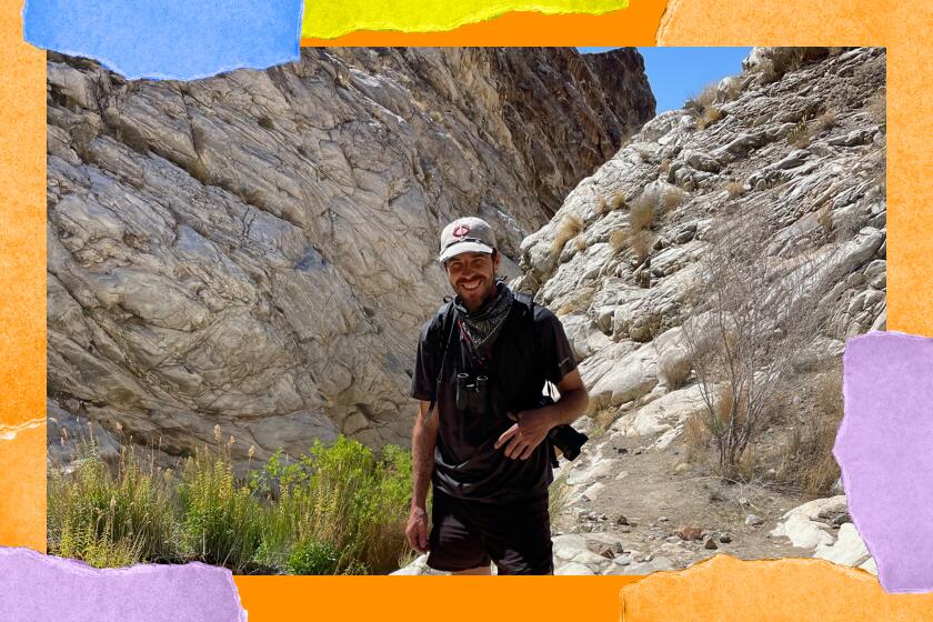
Over the next four years, in the delicate space between work and family, I visited almost every accessible tract of BLM land from Mexico to Oregon, documenting my experiences on Instagram. My time in the field has included camping at many of the 60-plus BLM campgrounds, and taking in the immense beauty of these unique places slowly, step by step, walking 346 miles thus far.
But I didn’t just learn about where to camp and hike. I also met scores of people and non-profit groups who are working tirelessly for our public lands every single day. Their work prompted me to learn about the threats facing many of the BLM landscapes, from unnecessary mining to the privatization and land transfer movements.
These threats inspired a new set of questions, only now they were more consequential than earlier. How can we protect our most vulnerable public lands if so few writers, artists, journalists and photographers are telling the story of these landscapes? How can we conserve what we don’t know?
The reality is, if we are going to preserve and expand protections on BLM land far into the future, we need a broader coalition of people who experience these landscapes in the present.
Planning your weekend?
Stay up to date on the best things to do, see and eat in L.A.
Fortunately, for our purposes here, a multitude of BLM campgrounds are within reasonable driving distance from L.A., all adhering to a first come, first served approach. So when that longing for some open space tugs at your overstimulated city heart, rest assured there are still some places to go.
Here are nine campgrounds in the southern half of California, all of which are normally accessible for 2WD vehicles and have vault toilets, picnic tables, and fire rings. In four years of camping on BLM land, I have never encountered a single one that was full. I hope this guide acts as an extended hand to engage with these places for yourself.
Note: Before taking a trip, I recommend using the links and phone numbers below to check for updated road and weather conditions, fire restrictions and potential closures. In addition, almost all of these campgrounds do not have water or trash service, so please bring enough water and pack out what you bring in.
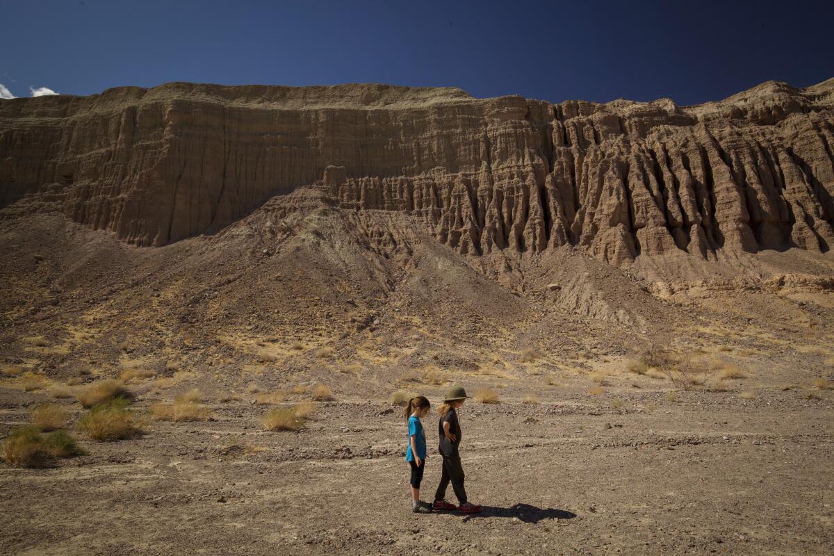
Owl Canyon Campground, Rainbow Basin Natural Area
Campsites: 22
Cost: $6 per night
Amenities: Vault toilets, shade structure, picnic tables, fire rings
Best time to visit: Fall, winter and spring
Afton Canyon Campground, Afton Canyon Natural Area
In 2019, the BLM partnered with the Mojave Desert Land Trust and Conservation Lands Foundation to create the Women In Science Discovering Our Mojave (WISDOM) internship. The program “provides women from underrepresented communities with opportunities to engage in science, technology, engineering and math fields by gaining experience and conducting scientific research.” Afton Canyon has been one of the fields where their studies have taken place.
Campsites: 22
Cost: $6 per night
Amenities: Vault toilets, shade structure, picnic tables, fire rings
Best time to visit: Fall, winter and spring
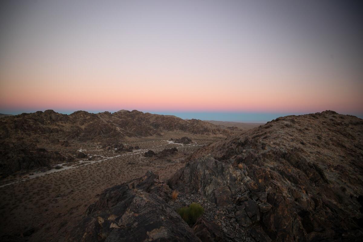
Sawtooth Canyon Campground
In addition to being a sanctuary for rock climbers, Sawtooth Canyon also offers ample hiking opportunities in the form of well-trodden climber trails and lots of gradually sloped hillsides and boulder outcrops to explore. Even the ridge lines are easily accessible and provide incredible vistas for taking in the sunrise.
Sites: 13
Cost: Free
Amenities: Vault toilets, shade structure, picnic tables, fire rings
Best time to visit: Fall, winter and spring
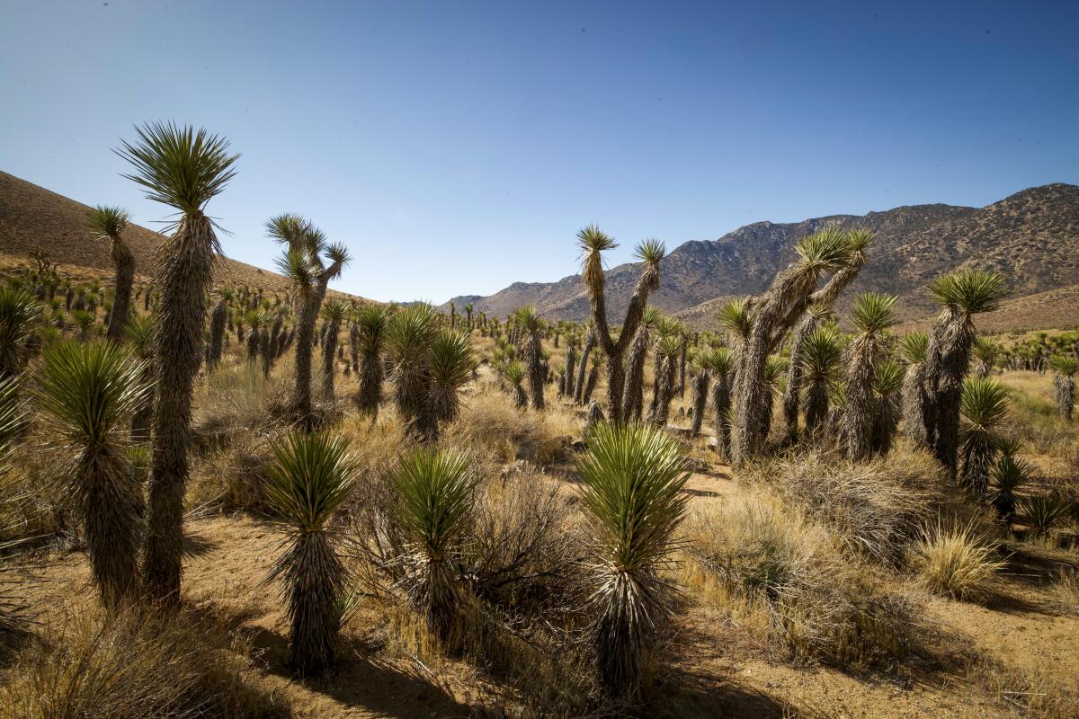
Walker Pass Campground, Owens Peak Wilderness
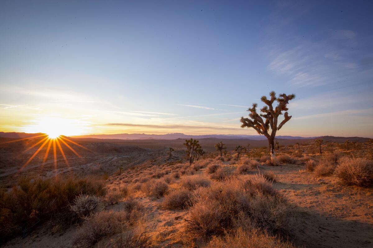
It was here in this ecological transition zone where I first had the incredible experience of seeing large stands of Joshua trees cascading like a waterfall down from a mountain peak, through a canyon, and finally spilling out into the valley. The Pacific Crest Trail runs right through the campground, making it an ideal location for day hiking or a convenient starting place for a section hike north to the next campground on the list.
Campsites: 13 (11 walk-up sites for tent campers, two sites for car campers)
Cost: Free
Amenities: Vault toilets, picnic tables, fire rings
Best time to visit: Fall, winter and spring
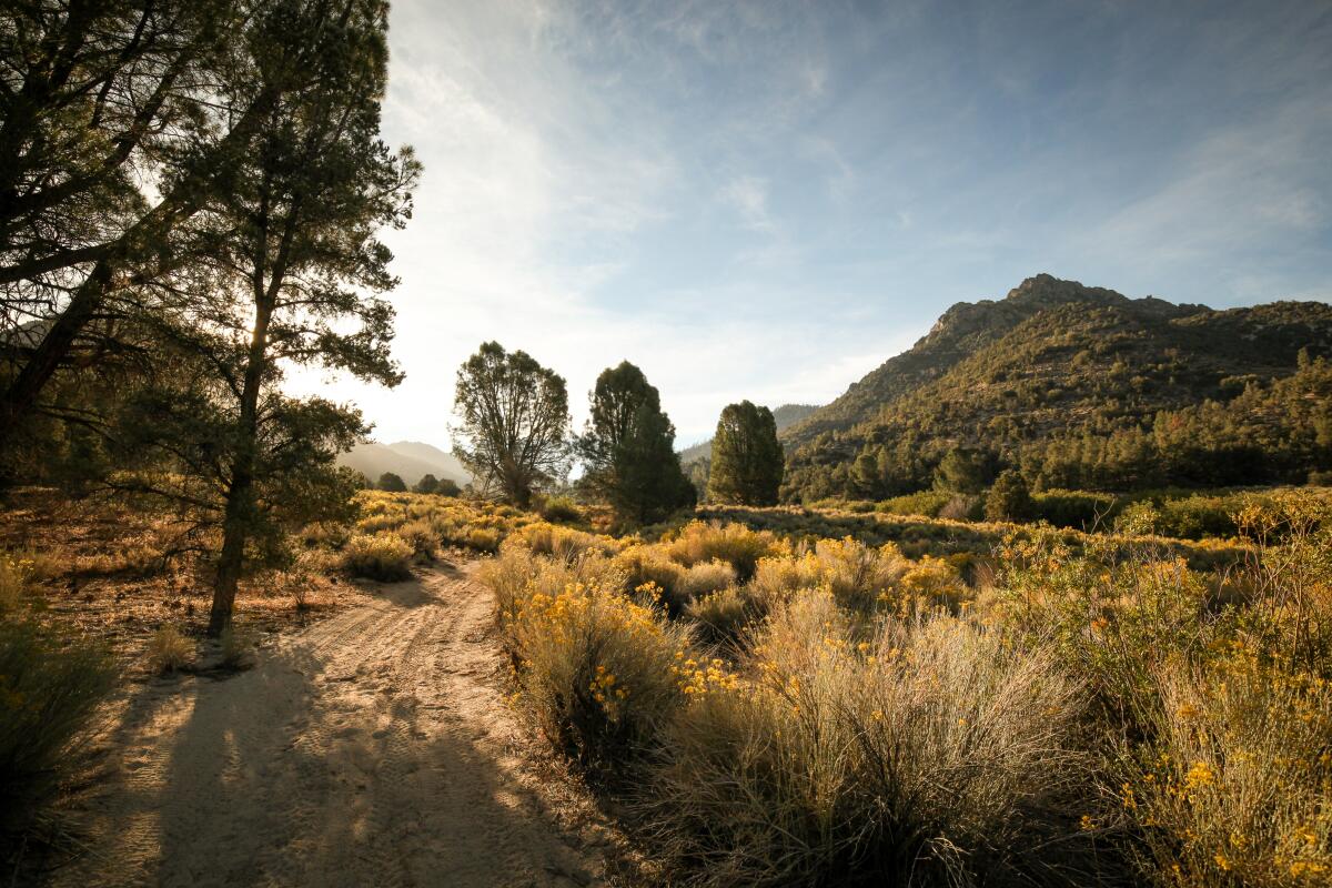
Chimney Creek Campground, Owens Peak Wilderness
The campground sits near mile 681 of the Pacific Crest Trail, a 31-mile section hike north from the previously mentioned Walker Pass. And 21 miles to the north is the famous Kennedy Meadows General Store, where hikers and travelers alike can stock up on supplies and get a burger and cold beer.
Campsites: 36
Cost: Free
Amenities: Vault toilets, picnic tables, fire rings
Best time to visit: Year-round
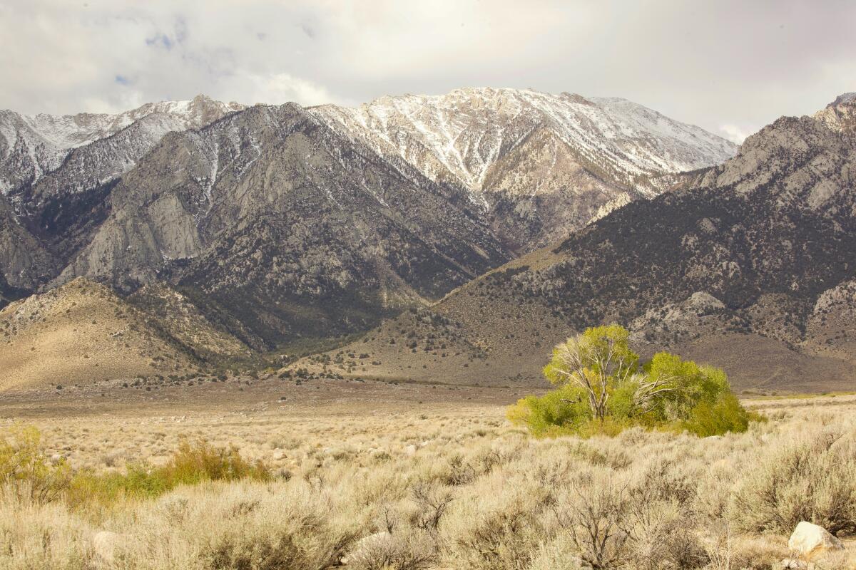
Tuttle Creek Campground, Eastern Sierra
Are you looking to get involved? The Eastern Sierra Interpretive Association and Friends of the Inyo both provide ample opportunities for trash and graffiti removal, trail maintenance and native tree planting.
Campsites: 83
Cost: $10 per night
Amenities: Vault toilets, picnic tables, fire rings
Best time to visit: Year-round
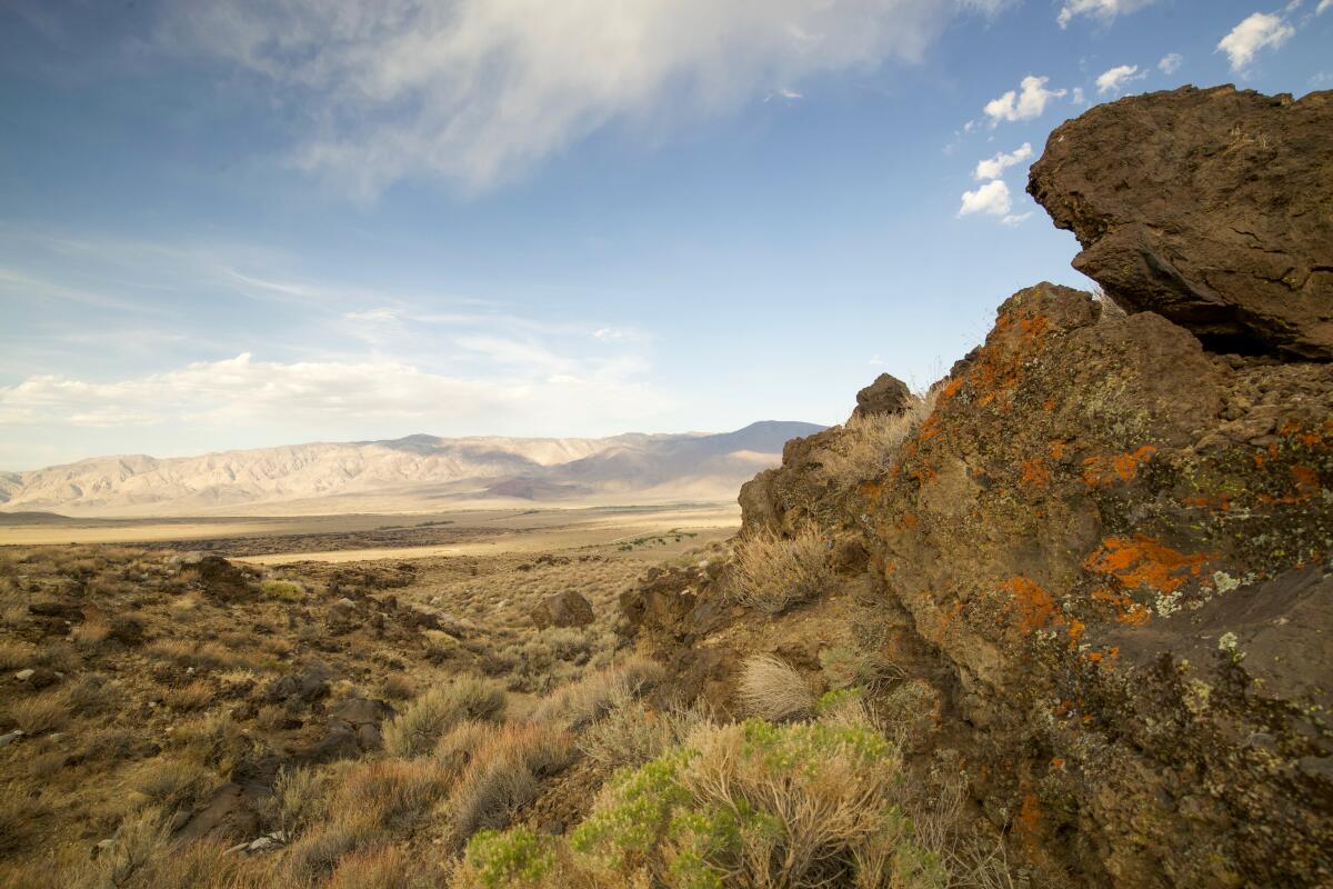
Goodale Creek Campground, Eastern Sierra
The Owens Valley Paiute and Shoshone call this place Payahuunadü, meaning “the land of flowing water.” Native Teri Red Owl beautifully captures the full history of this area in “Payahuunadü: A Water Story.” A visit to the nearby Owens Valley Paiute Shoshone Cultural Center in Bishop is just up the road and worth a stop on your next trip.
Campsites: 43
Cost: $5 per night
Amenities: Vault toilets, picnic tables, fire rings
Best time to visit: Year-round
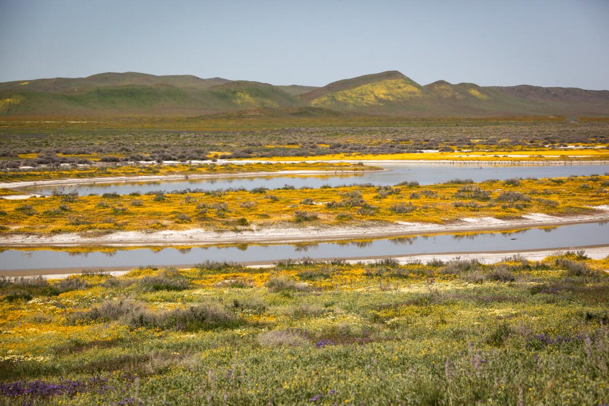
Selby Campground, Carrizo Plain National Monument
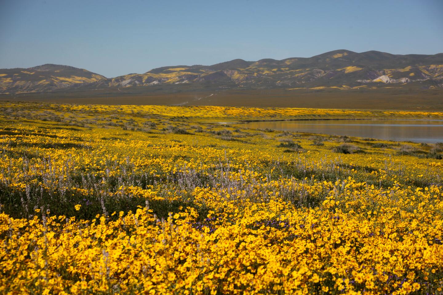
But it’s worth noting the Carrizo is remarkable even during a drought. There is Soda Lake, which fills in winter and empties in summer. The native grasslands here are so immense the area is referred to as California’s Serengeti and there are enough endangered flora and fauna species here to make this Central California Monument the largest concentration of threatened species found in the continental US.
One of the best places to take in the Plain is from the Selby Campground, which is situated at the base of the Caliente Mountain range. My evening ritual on several visits to Selby has mainly involved roaming the hills around camp. No timeline or destination, just hoping to catch some good light and listen to the Western Meadowlark write her songs. I walked along forgotten fences and dried-up creek beds, past dilapidated barns and rocky outcrops, watching the last of the fading light hit the Temblors in the east as the sun set over the Calientes in the west.
Campsites: 13
Cost: Free
Amenities: Vault toilets, picnic tables, fire rings, shade structure
Best time to visit: Year-round
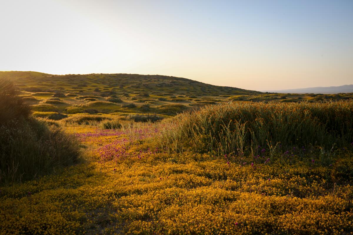
KCL Campground, Carrizo Plain National Monument
KCL is a great starting place for any day trip in the Carrizo, like driving along Elkhorn Road on the eastern flank of the plains or driving north for a visit to a sacred Native site. Painted Rock is home to some of the most elaborate rock art in the world and is believed to be dated back 200 to 3000 years. Many natives believe the art was painted by shamans, who saw the rocks and caves as portals to the sacred realm, where spirits could be influenced to stay away or intervene in human affairs (permits are required).
The area was primarily inhabited by the Emigdiano Chumash who hunted and traded here on the interior plains since around 2000 BC. Many Chumash today are part of the Santa Ynez Band of Chumash and the Tejon Indian Tribe of California, which have vibrant communities that are working tirelessly to redeem their ancient language and cultural practices.
Campsites: 12
Cost: Free
Amenities: Vault toilets, picnic tables, fire rings, shade structure
Best time to visit: Year-round
Sign up for The Wild
We’ll help you find the best places to hike, bike and run, as well as the perfect silent spots for meditation and yoga.
You may occasionally receive promotional content from the Los Angeles Times.


