Drone grounds water drops on California wildfire -- again

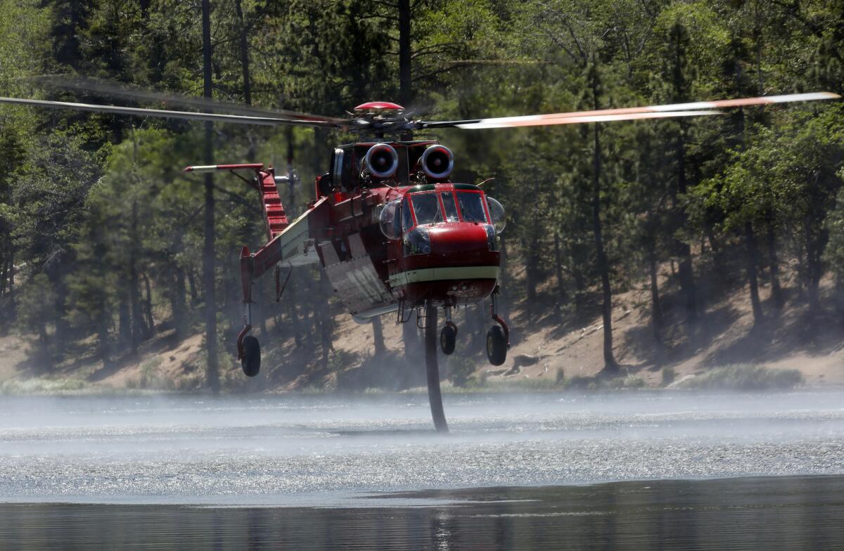
A firefighting helicopter sucks up water from Jenks Lake as it works to control flames in the Lake fire in the San Bernardino National Forest.
- Share via
When the winds shifted in the San Bernardino National Forest and pushed flames toward dry, unburned fuel Wednesday, firefighters had to temporarily abandon their air attack because someone was flying a drone nearby, officials said.
The drone was spotted near Onyx Summit about 6 p.m. and forced the grounding of aircraft on water-dropping missions for the 20,875-acre Lake fire, the U.S. Forest Service said Thursday.
“Tonight a hobby drone grounded firefighting aircraft by flying over the #LakeFire,” tweeted Daniel Berlant, a spokesman for the California Department of Forestry and Fire Protection. “When you fly...we CAN’T! Puts our pilots lives at risk.”
As unmanned aerial system technology has become more prevalent, so have run-ins between civilians using it and government agencies that consider it a hindrance. The U.S. Forest Service issued a statement on civilian drone use last year, warning they could interfere with firefighters’ efforts in the air.
In July 2014, CalFire crews had law enforcement confront a drone operator near Plymouth in Northern California after he flew the aircraft near a 3,800-acre blaze as crews made water drops.
The pilot was using the drone for video and photography purposes, he told The Times. On the urban landscape, crews spotted a drone in July hovering over a fire at a South L.A. charter school.
While civilian drones are prohibited, firefighters have been known to use their own for mapping purposes.
In a statement last year, the U.S. Forest Service announced it had requested a drone from the Department of Defense to help survey the Rim fire in 2013, one of the biggest fires in state history. The drone helped map where the fire was going and keep track of crews at night.
“We could see the dozer and hand crews and we knew where up and downhill was as if it were daylight; we had a better big picture than those on the ground operating in the dark and smoke similar to Initial Attack mode,” Mike Wilkins, incident commander of the Rim fire, said at the time.
For breaking California news, follow @JosephSerna.
More to Read
Sign up for Essential California
The most important California stories and recommendations in your inbox every morning.
You may occasionally receive promotional content from the Los Angeles Times.


