Extremely long walks, steep trail hikes and cave kayaking: Take on these unique SoCal fitness challenges in 2024 to feel powerful.
- Share via
Channel your inner adventurer. You may have seen “Nyad,” the Netflix film about Diana Nyad, in which the American distance swimmer (played by Annette Bening) swims to Florida from Cuba outside the protective confines of a shark cage — at age 64.
“I don’t believe in imposed limitations,” she says matter-of-factly in one scene.
And neither should you.
But you need not swim with sharks for days, as Nyad did, to get the rush that comes with taking on a seemingly impossible fitness challenge. There are plenty of more realistic — yet still epic — outdoor adventures around SoCal to focus your fitness goals on and set the bar high for 2024.
Sure, there’s the Los Angeles Marathon in March, a 26.2-mile course from Dodger Stadium to Century City that participants start training for months in advance. Or the 15-mile Great Los Angeles Walk every November that you can start gearing up for now. But we’re thinking off the beaten track (or, in one case, on the beaten track, but on foot instead of wheels).
Whether you’re into long-distance walking, steep hiking, rock climbing, skiing or water sports, here are five SoCal-area outdoor challenges that will whip you into shape. Good luck.
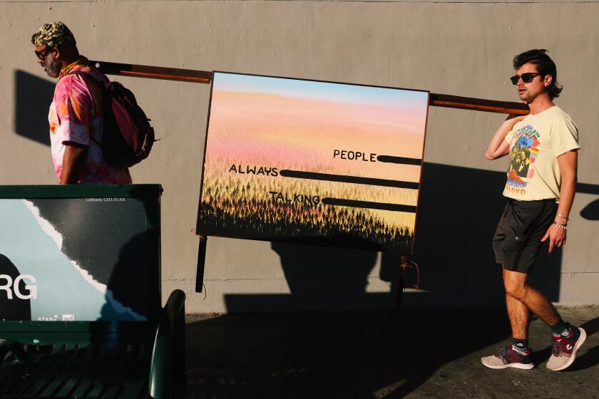
Hollywood gallery Lauren Powell Projects leads visitors on sunset art hikes 2½ miles to the Griffith Park summit

1. Take an extremely long urban walk
Perhaps because Los Angeles is such an auto-dependent city, walking long distances through congested urban areas can feel sort of gleefully illicit, an iconoclastic journey that inevitably has urban pioneers navigating thickets of construction, crossing sun-scorched asphalt and trudging underneath freeway overpasses. Which can be a challenge — and kind of the point here.
Los Angeles is home to extraordinarily long and historic boulevards that crisscross our pop cultural landscape, popping up in films, song lyrics and novels. There’s Sunset Boulevard (21.75 miles, according to Google Earth), Sepulveda Boulevard (42.8 miles), Vermont Avenue (23.3 miles), Mulholland Drive (21.13 miles), Ventura Boulevard (18 miles). Pick one and make it a DIY adventure. Vow to walk the length of the street in a day — or over several days, picking up where you left off.
Step count aside, it’s a wonderful way to connect the cultural dots in the city, meandering through diverse neighborhoods, happening upon little-known shops and restaurants, passing sidewalk food vendors, tucked away public art and garage sales, not to mention a prism of people-watching.
Make it a personal pilgrimage. When he was in his early 20s, Pulitzer Prize-winning food critic Jonathan Gold, spent months walking the length of — and eating his way along — Pico Boulevard, sampling Oaxacan restaurants, steak joints and Greek and Scandinavian delis, among other cuisines.
It provided inspiration for what would become an illustrious career as a food writer focused on L.A.’s lesser-known ethnic restaurants. But the journey also gave Gold a window into what he described as “the unglamorous bits of Los Angeles, the row of one-stops that supply records to local jukeboxes, the kosher-pizza district, the auto-body shops that speckle its length the way giant churches speckle Wilshire.”
Still need inspiration? These guys walked 50 miles to Redondo Beach Pier from Pasadena City College over more than 18 hours.
These four? They walked the length of Sunset Boulevard (extending beyond the city limits) in a day.
Their 2023 journey, Pedro Moura wrote, “reminded us all of personal experiences we had long forgotten, memories we will never forget and history we had only read about.”
Pro tip: Wear sock liners to help prevent blisters.
The new “Peaks Hours Plus” pilot program, which carries a $2 reservation fee, is intended to ease traffic and help protect natural resources in the national park.

2. Conquer the SoCal trifecta — with a twist
The goal here is to surf in the ocean at dawn, ski in the mountains in the afternoon and — here’s the twist — rock climb in the desert at sunset. There are myriad ways to do this challenge, considering SoCal’s many beaches and surrounding terrain. But here’s an especially efficient route.
Start at Santa Monica’s Bay Street Beach, at Bay Street and Oceanfront Walk. Paddle out just before dawn and watch the sunrise from the water. After about an hour of surfing (say, from 6:30 to 7:30 a.m.), jump on the nearby 10 freeway and head east.
If you hit the road by about 8 a.m., you can reach Mt. Baldy Resort, the closest ski destination to L.A., not to mention the most affordable, by about 9:30 a.m., traffic depending. Half-day lift tickets run $30 to $80, depending on how much of the mountain is open due to weather conditions. Mt. Baldy Resort is open seven days a week during ski season, and the main lodge is at the top of the first chair lift, which has views of the Pacific, making it a destination unto itself. You can be on the slopes by 10 a.m.
Ski for about two hours and, with time for lunch, you can be on the road again by 12:30 p.m.
More and more people are arriving in the towns along Highway 62 near Joshua Tree National Park. In their eagerness to feel those desert vibes, they’ve set off a full-blown boom.
Joshua Tree National Park is about another 2 to 2½ hours east. Aim to arrive by about 3 p.m. Experienced climbers with their own gear need only to drive into the park and find a nearby rock formation to get started. (You can buy a $30 seven-day pass, the cheapest, on the way in.) But for everyone else, there are any number of private guides for hire in the area who can be easily found ahead of time online and who will meet you there with climbing shoes, harnesses and helmets. They’ll set up the ropes for you safely and offer instruction. Rates depend on how many people are in the group.
Climb for several hours and catch the sunset from the summit of an iconic rock formation.
Having worked up an appetite, enjoy a well-earned dinner at, say, the Joshua Tree Saloon or grab a slice of pizza (several — you earned it!) at Sky High Pizza before heading back to L.A. If the traffic gods are smiling, you could be home by 10 p.m. Sleep well.
Pro tip: Join the Loyalty Club program at Mt. Baldy Resort for free to receive credits toward new purchases, including future lift tickets.
A guide to what’s new at Mammoth, Big Bear, Tahoe and other ski resorts across the state for the 2023-2024 season.
3. Hike the Trans-Catalina Trail in three nights
This is a 38.5 mile thru-hike that traverses the entire island of Catalina. Generally, the hike takes about three nights, camping along the way, but it can be done faster or slower. The terrain here is especially diverse, spanning urban sidewalks at the start and paved roads later to manicured gardens, a pine forest and dirt trails with ocean views. Catalina has more than 60 endemic species of plants and animals, so be on the lookout for Catalina Island fox and Catalina live-forever succulents, among other unique wildlife.
The elevation gain also fluctuates greatly on this hike — from sea level to more than 1,700 feet. The mostly dirt trail is well maintained but features near-constant ups and downs, many of them heart-poundingly steep.
Take an early boat from Long Beach, San Pedro, Dana Point or Newport Beach. The trailhead, at 708 Crescent Ave. in Avalon, is walking distance from “the Mole,” where boats arrive. If you’d prefer to wake up on the island, stay at the Hermit Gulch campground in Avalon, where you can camp or rent cloth tent cabins. It’s on the trail, so from there you can walk straight up, farther into Avalon Canyon.
Day 1 passes through the Wrigley Memorial & Botanic Garden, built in the early 1930s as a tribute to William Wrigley Jr. (of the Wrigley chewing gum family) and brimming with 38 acres of plants . Climb up to the eastern summit at 1,450 feet, with stunning views of San Pedro and Mt. Baldy on a clear day. Black Jack Campground, 10.7 miles from Avalon, is an excellent destination for the first night. It’s a wooded area thick with pine trees, a luxury, as there’s little shade on the trail. All the campsites on the trail offer bathrooms and drinking water.
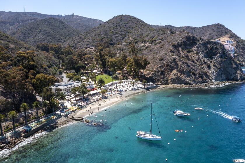
Hiking, biking, fishing, dining. Santa Catalina may be only an hour from the Southern California mainland, but it can feel like a world away when you have the perfect agenda.
Day 2 highlights include the Airport in the Sky, a small airport on a mountain with a restaurant on site if you’re inclined to stop for sustenance. It’s at 1,602 feet. You’ll also pass a more than 2,000-year-old soapstone quarry. Little Harbor and Shark Harbor campgrounds, 18.9 miles from Avalon, are the only campsites on the backside of the island. They’re on the beach — the 1962 film “Mutiny on the Bounty” was filmed there — so you can sleep on the sand or on grassy patches nearby.
Day 3 is the toughest of this adventure and leads to the most remote campsite. You’ll start out at sea level and head to the Isthmus, the narrowest part of the island at half a mile wide. The village of Two Harbors is there as well, with a general store to stock up on goods. Those destinations are at sea level as well, but to get there, you will have climbed more than 1,200 feet. After the Isthmus, you’ll again climb 1,600 feet and then back down to Parsons Landing campground, at sea level. You will have made it 30.8 miles from Avalon by this point.
Day 4 circles back, via a different route, to Two Harbors — and it’s the shortest day of the journey at just under 8 miles. It’s also comparatively flat: The highest point is an elevation of only 200 feet. At Two Harbors, you can board a ferry to the mainland. But stop first at the West End Galley for lunch or the Harbor Reef Restaurant for dinner. Celebrate with a Buffalo Milk, a creamy, banana-tasting cocktail with vodka and Kahlua.
Pro tips: Make camping reservations ahead of time (catalinaconservancy.org). Hiking permits are free, but camping costs about $30 a night, per person. Joining the Catalina Island Conservancy, starting at $35 annually, will cut costs by about 50%. For a splurge, have Catalina Backcountry haul your gear and set up your campsite.
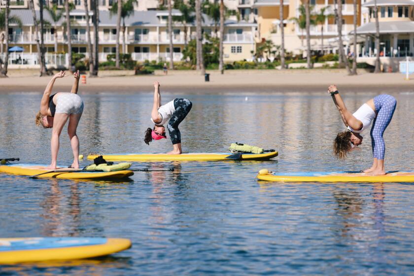
While the city’s perennially good weather has many perks, here’s one you maybe haven’t considered: year-round, outdoor yoga classes.
4. Tackle L.A.’s most brutal stairway walks
Charles Fleming’s 2010 book, “Secret Stairs: A Walking Guide to the Historic Staircases of Los Angeles,” is something of a classic by now. When it first came out, I went down the rabbit hole, exploring a chunk of the 42 walks — including about 300 staircases — that Fleming maps out. Favorites? Walk No. 22, in Silver Lake, with its craggy succulents and lush foliage providing plenty of shade; and the silent film era-allure of the Music Box Steps, which Laurel and Hardy immortalized in the 1932 “talkie” film “The Music Box” — the duo comically hauls a piano up the narrow staircase in the movie.
I purposely skipped several chapters in Fleming’s book altogether. Too much of a challenge, despite majestic views, notable surrounding architecture and the promise of a strenuous, brag-worthy workout.
If your glutes are braver than mine, consider taking on the five most brutal staircase walks of them all. They are, according to former Times staffer Fleming:
Los Angeles is full of secret staircases. Here are the outdoor climbs that make great walking or running workouts (and have scenic views).
Pacific Palisades, Giant Steps
- Distance: 3.6-mile walk, with 1,117 staircase steps.
- What makes it especially difficult: Beyond the sheer number of steps — one staircase alone is 500 steps — they’re also really long staircases with no breaks between them.
- Expect: “A stunning walk, a classic California space,” Fleming told me. It’s also a particularly fragrant walk, thick with oak and eucalyptus trees, a few pines and a ton of wild sage on the ground. So as you climb what he calls “the monster step walk,” take comfort in that small sensory delight as you huff and puff your way to the top.
Highland Park, Southwest Museum
- Distance: A 3.2-mile walk, with 568 steps.
- What makes it especially difficult: In addition to one very steep staircase, to get there you have to walk up Eldred Street, considered the steepest road in California. “By the time you get to the stairs — a long two blocks worth — you’re already exhausted,” Fleming told me.
- Expect: The walk includes the longest wooden staircase in Los Angeles, at 196 steps. Passing a portion of the historic, now-closed Southwest Museum of the American Indian is a highlight of this walk, as is the stretch along Sycamore Terrace, the views of Sycamore Grove, the coast live oak trees and beautiful old Craftsman homes.
Avalon-Baxter Loop, Echo Park
- Distance: A 3.5-mile walk, with 695 steps.
- What makes it especially difficult: It includes two long and very steep staircases — back to back — the Avalon steps and Baxter steps. In addition to other staircases.
- Expect: Stunning views of Elysian Park and downtown to Westwood. The walk traverses an area known as Red Hill, nicknamed for its history of left-leaning residents, writers and artists such as Woody Guthrie and Upton Sinclair.
Swan’s Way, Silver Lake.
- Distance: A 1.5-mile walk, with 369 steps.
- What makes it especially difficult: It’s one continuous, three-tiered staircase — “Some of the longest, steepest staircases in the city,” Fleming says. It’s all glutes and calves on the way up and quads on the way down.
- Expect: Painted murals on the staircases and interesting architecture along the way. Also: wonderful views of the Silver Lake reservoir.
Beachwood Canyon, Hollywood.
- Distance: A 2.6-mile walk, with 861 steps.
- What makes it especially difficult: It’s a longer walk, with more than half a dozen staircases, and they’re particularly long . One is 143 steps, another 148.
- Expect: “The most beautiful staircases in the city — artfully designed,” Fleming told me. They traverse what used to be the development of Hollywoodland, which debuted in the early 1920s, and they feature granite and wrought iron handrails. The route also features multiple tree overhangs providing shade along the way — so it’s doable on very hot days — and it offers stunning views from downtown L.A. to the ocean. But the most dramatic view is of the iconic Hollywood sign, nestled in the hillside and presiding over the historic neighborhood.
Pro tip: This one should be obvious, but it’s worth a reminder: Stretch, stretch, stretch both before and after the walks. Especially your calves, glutes and quads.
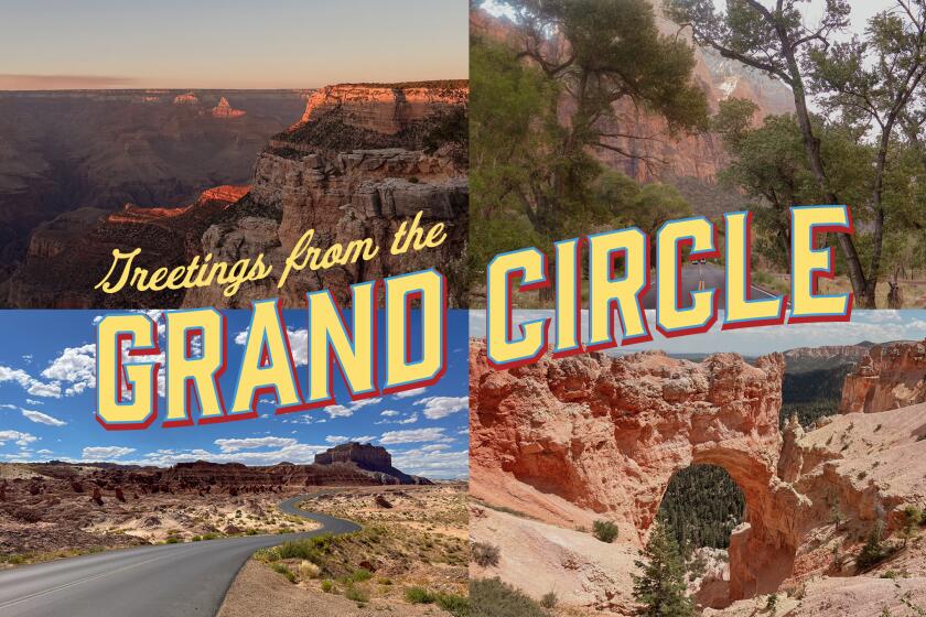
A guide to the Grand Circle route that takes you through iconic national parks in Utah, Arizona, Colorado and California.

5. Kayak to hidden sea caves. How many can you find?
Who wouldn’t want to search out the so-called Painted Cave — one of the largest, deepest sea caves in the world — along Santa Cruz Island in a kayak? Consider it a maritime adventure.
Santa Cruz is one the easiest Channel Islands to get to, with more boat trips headed there per week than most of the other islands. And its craggy, rocky perimeter features tons of sea caves brimming with hidden wildlife. Many are easily accessible while paddling along the coastline. But a good number are tucked away, around jagged rock walls or hidden within larger caves. The four or five hours you’ll spend paddling to seek them out, however, will be well worth it.
From Ventura Harbor, it’s about an hour to Scorpion Landing — the only harbor on the island managed by the National Park Service and open to the public. Rent a kayak ahead of time at Channel Island Kayak Center or bring your own; as long as you reserve transport space ahead of time, Island Packers will take you and your kayak there.
From Scorpion Landing, paddle to the left, heading north along the coast of the island — a larger number of caves are in that direction, and you can explore caves for several hours. Start early in the morning; you’ll have a better chance of the wind being with you at the start and at your back upon your return. Be sure to check the weather, wind currents and tides ahead of time, all of which determine level of difficulty (weather.gov). At high tide, the cave entrances are harder to get into as the passage area is smaller; at low tide, there may not be enough water to get to the back of the cave.
Expect to see dynamic rock formations inside the caves — a mix of blues, reds and browns, depending on the light. The Painted Cave is so nicknamed because when the light hits the ceiling, it looks as if an artist watercolored it, with bouncing, multicolored reflections. You may also see sea lions resting on interior cave rocks or harbor seals outside the cave. Keep a safe distance and don’t disturb the animals. You’ll also encounter a prism of marine plants such as varying kelps. The waves are generally milder inside the deeper caves and rockier in the caves with openings facing the surf. A few are through-caves, but most require you to paddle out the way you came in.
Pro tip: Bring a helmet, should the currents push you against a cave wall, as well as a head lamp for dark passages. Upside: Steadying yourself against all that rocking — and the prolonged paddling — is an especially good workout for the core.
More to Read
Sign up for The Wild
We’ll help you find the best places to hike, bike and run, as well as the perfect silent spots for meditation and yoga.
You may occasionally receive promotional content from the Los Angeles Times.

