An early season snowstorm is headed for portions of Northern California and the Sierra Nevada this week, with forecasts of gusty winds, widespread freezes and potential travel challenges, weather officials said.
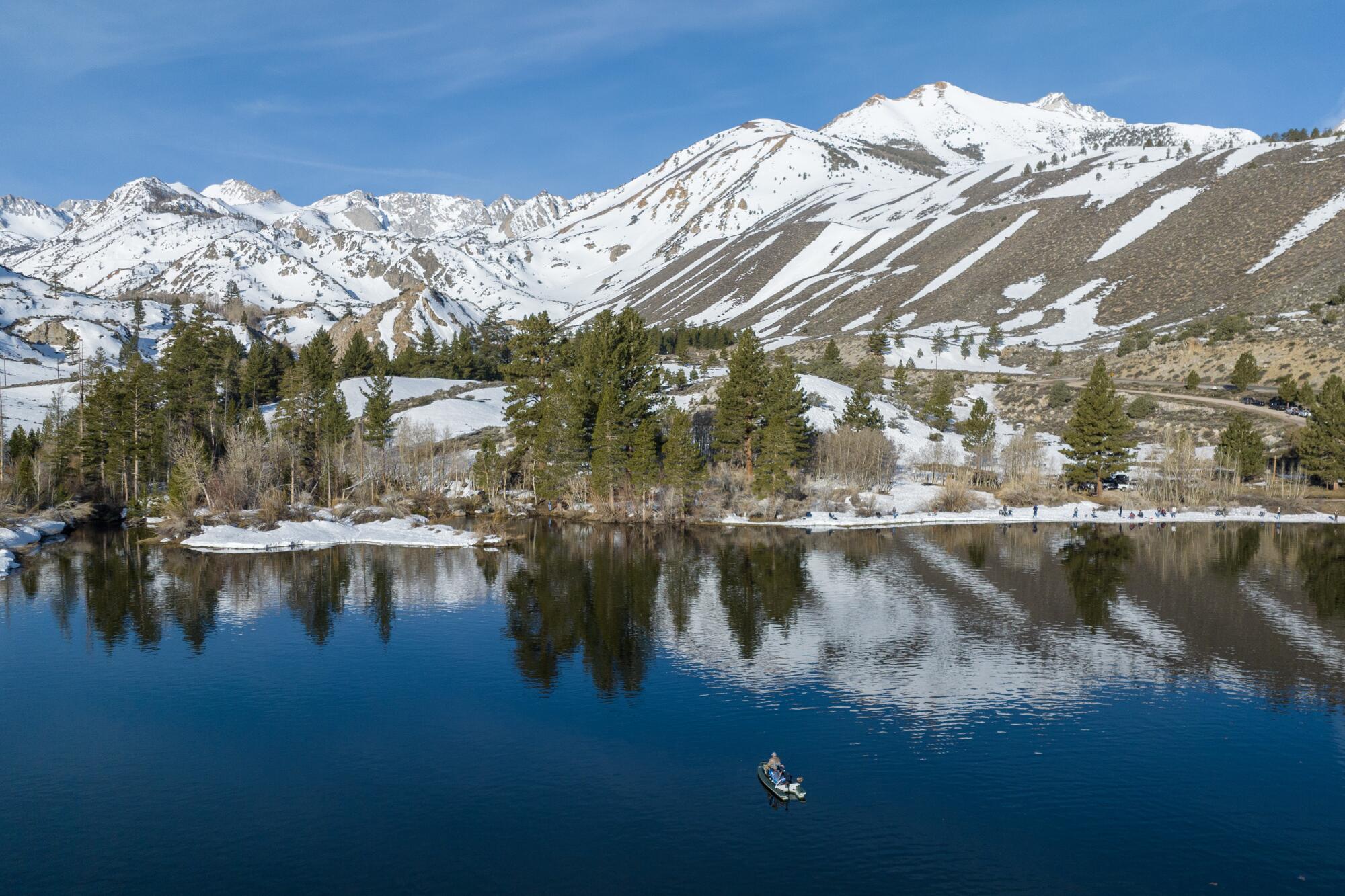
The storm is expected to sweep into the Golden State from the Pacific Northwest on Wednesday and into Thursday, dropping up to 3 inches of snow at elevations of about 6,000 to 8,000 feet along the crest of the Sierra. The snow could fall from northern California to as far south as Yosemite Valley, including the Tahoe Basin.
Areas below 6,000 feet could see up to an inch of snow, while valley floors will likely see showers but little accumulation.
Forecasters warned that even light snow accumulation could produce slick roads across Sierra passes late Wednesday into early Thursday morning.
ŌĆ£Today will be a great day to prepare for the upcoming cold and more winter-like conditions,ŌĆØ the weather service said Tuesday. ŌĆ£Freezing to sub-freezing temperatures are en route to the region, so be sure you have a plan to protect vulnerable populations, pets and plants.ŌĆØ
Strong wind gusts of 45 mph or more could begin as early as Tuesday night as the storm makes its way inland, they said.
More than 7 million California residents live in an area where they are at risk of flood, officials said ŌĆö and many donŌĆÖt even know it.
In a post on X, the UC Berkeley Central Sierra Snow Lab in Donner Pass called it the ŌĆ£first measurable snowŌĆØ of the season. Though the lab saw a light dusting earlier this month, officials there said a minimum of 0.2 inches of powder is the benchmark for a measurable amount of accumulation.
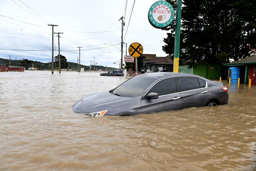
The storm arrives only days after state and federal officials advised residents to prepare for another potentially wet winter fueled by El Ni├▒o. Earlier this year, back-to-back storms delivered near-record snowpack and widespread flooding in California, along with levee breaches and evacuations across the state.
Those storms helped ease drought conditions considerably, but also caused an estimated $4.2 billion in damage, according to the National Oceanic and Atmospheric Administration.
A second storm this week could bring more cold weather and precipitation along the highest peaks of the Sierra beginning Friday afternoon through early Saturday before intensifying and moving east, according to Heather Richards, a meteorologist with the weather service in Reno.
ŌĆ£We are starting to see the fall storms moving into a winter pattern,ŌĆØ Richards said, ŌĆ£so this is perfectly on time.ŌĆØ
Toward a more sustainable California
Get Boiling Point, our newsletter exploring climate change, energy and the environment, and become part of the conversation ŌĆö and the solution.
You may occasionally receive promotional content from the Los Angeles Times.


