Striking satellite photos show California snow replenished by recent storms

- Share via
Two “Pineapple Express” atmospheric river storms hit California within a week, delivering significant precipitation across the West Coast.
New satellite photos show the impact these storms had on California’s flagging snowpack.
The image below from the National Aeronautics and Space Administration shows the Sierra Nevada mountain range on Jan. 29 (left) and Feb. 11 (right).
Affected by warm conditions, California’s snowpack remains far below average. Approaching storms are forecast to bring more snow to the Sierra Nevada.
On Jan. 29, the Sierras were in the throes of a protracted snow drought. In the Northern Sierra, the snowpack was at 61% of its historical level on Jan. 29.
In the Central Sierra, the figure was 55%, and in the Southern Sierra the snowpack was only at 36% of normal, according to data from the California Department of Water Resources.
The image shows little snowpack in the mountains as the first of two atmospheric river storms approached from the Pacific.
By Feb. 11, the two atmospheric river storms had dumped considerable snow in the Sierra Nevada.
DWR data shows that levels had increased significantly in the Sierras after the storms. In the Northern Sierra, the snowpack was up to 81% of its historical level on Feb. 11.
In the Central Sierra, the figure was 72%, and in the Southern Sierra the snowpack was up to 71% of normal.
In Southern California, the mountains were virtually devoid of snow before the storms.
Mountain towns, which were inundated with snow in last year’s record-breaking winter, had seen just a fraction of last year’s precipitation.
The NASA image below zooms in on the region, again on Jan. 29 (left) and Feb. 11 (right).
By Feb. 11, mountains above Ventura, Grapevine, San Bernardino and Palm Springs showed significant snowpack.
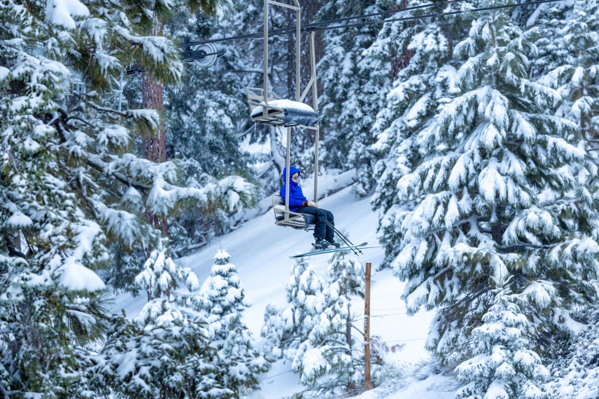
In Los Angeles, residents could see snow atop the nearby San Gabriel mountains. Times photographers captured that scene as well as a snowcapped Mt. Baldy.
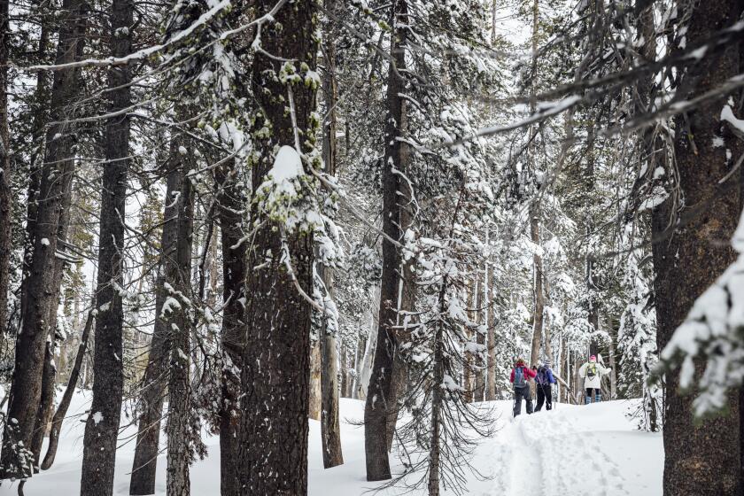
Visitors to Big Bear and Mammoth ski resorts were treated to fresh powder. After lackluster snowpack so far in the winter, “February has delivered,” Big Bear Mountain Resort posted on Facebook.
More to Read
Sign up for Essential California
The most important California stories and recommendations in your inbox every morning.
You may occasionally receive promotional content from the Los Angeles Times.


