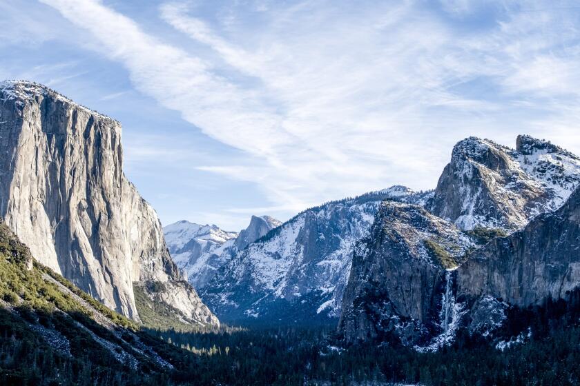
The latest U.S. winter outlook spells trouble for dry California
- Share via
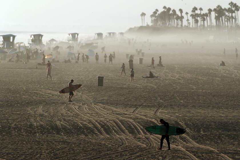
A warm, dry winter is in store for much of California as La Niña conditions are slated to persist through at least January, according to the National Oceanic and Atmospheric Administration.
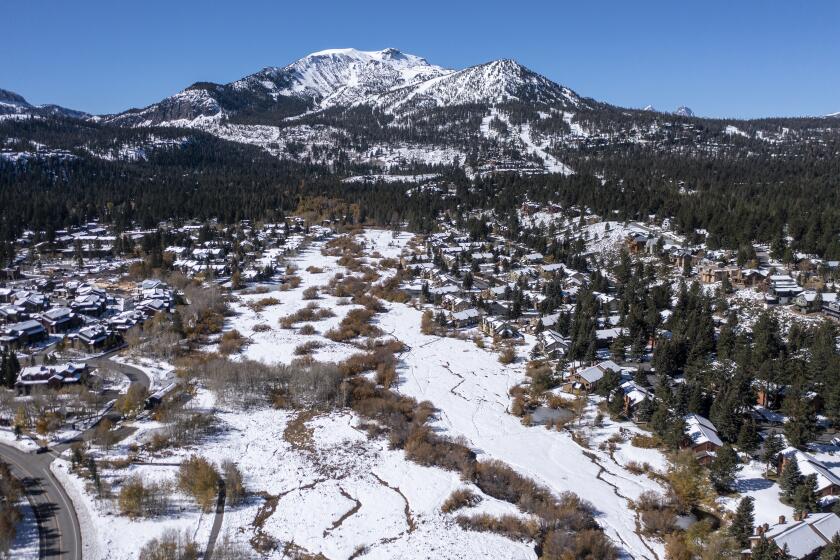
The agency’s U.S. winter outlook, released this week, spells trouble for the drought-dried state as it enters what is typically its wettest season, when rainfall and Sierra snowpack help replenish water supplies that carry it through the rest of the year.
“We’re going on our third year of this extreme drought for much of the western U.S., with the extreme drought currently focused over much of California, the Great Basin and extending northward into parts of Oregon,” Brad Pugh, operational drought lead with NOAA’s Climate Prediction Center, said in a media briefing. “In terms of impacts, it’s adversely affecting agriculture, also increasing the wildfire danger and even has impacts on tourism.”
The Colorado river: Where the West quenches its thirst
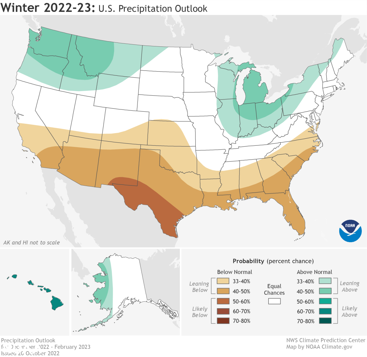
The country’s greatest chances for drier-than-average conditions are forecast across Southern California and the Southwest, as well as the southern Rockies, southern Plains, Gulf Coast and much of the Southeast. About 59% of the country is experiencing some degree of drought conditions, officials said.
The forecast comes after a summer of extreme heat and dryness. More than 6,800 wildfires have burned in California this year, destroying nearly 800 structures and claiming nine lives, according to the California Department of Forestry and Fire Protection.
The state in September also saw a blistering, 10-day heat wave that shattered thousands of temperature records and “certainly increased the drought categories” in the Pacific Northwest, said Jon Gottschalck, chief of the climate center’s operational prediction branch.
But while more dryness is on deck for Southern California, the outlook is less certain about what lies ahead for the northern part of the state. The forecast shows equal chances of above-average or below-average precipitation in the region.
The La Niña climate pattern, which tends to bring dry conditions to the Southwest, is expected to persist for another year amid the ongoing drought.
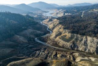
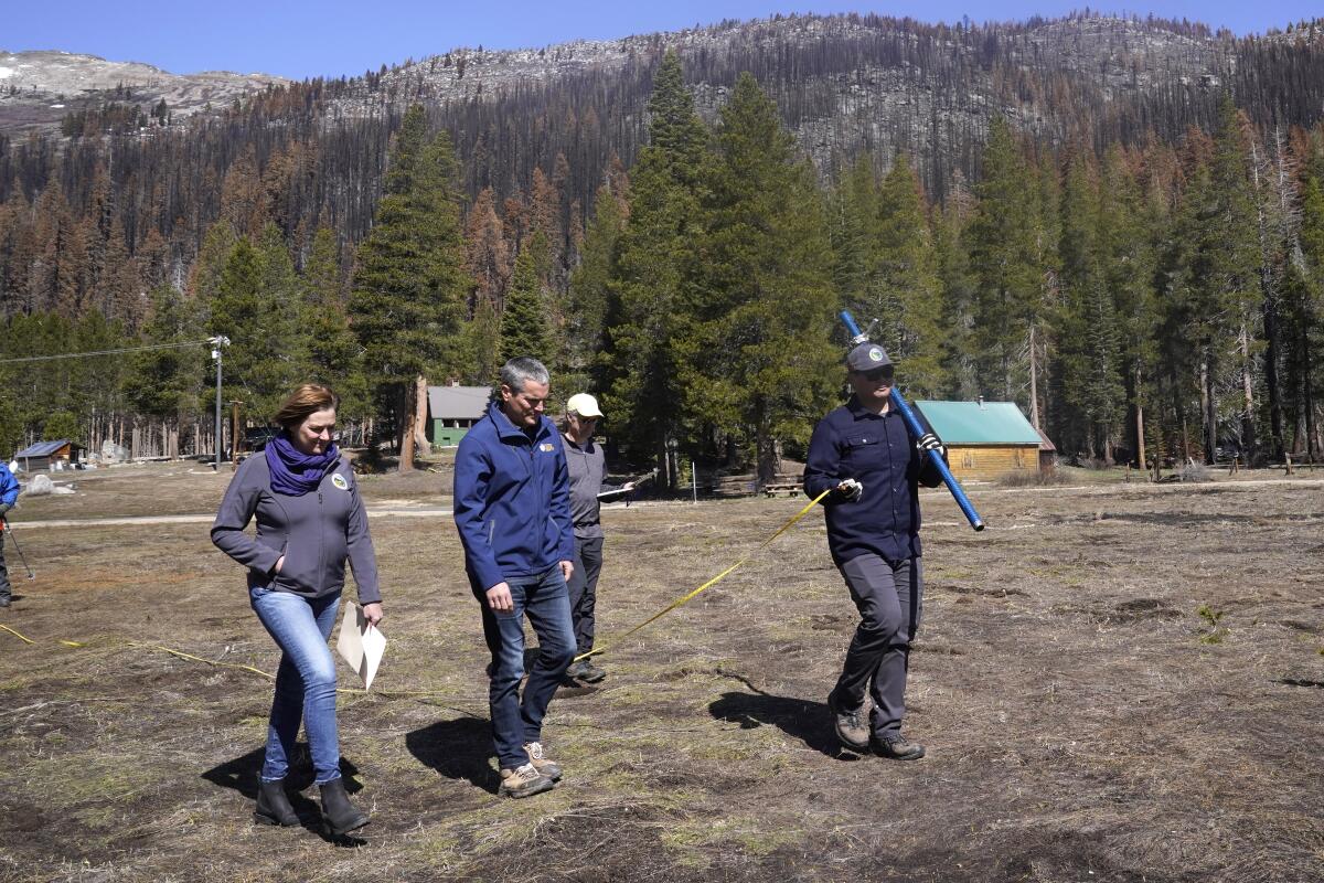
What is less of a mystery is that the state urgently needs moisture: More than 90% of California is under severe, extreme or exceptional drought, the three worst categories under the U.S. Drought Monitor.
Increasing warmth and dryness driven by human-caused climate change are also upending California’s long-held weather patterns, making the timing and availability of water in the state less reliable. Both state and federal water supplies are facing significant shortages and cutbacks due to drought, and officials have said more cuts are likely if dryness persists in 2023.
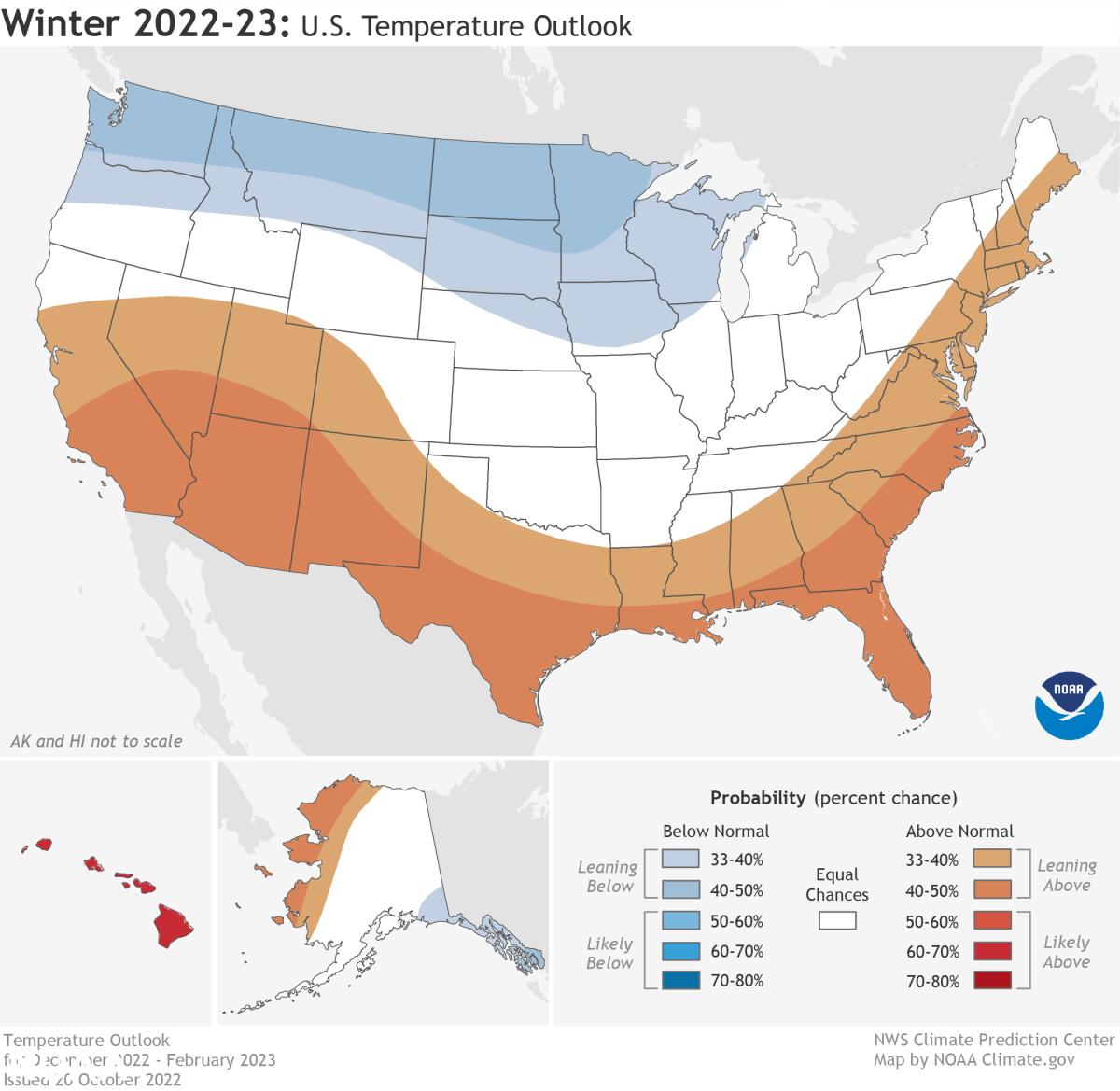
The temperature outlook is similarly concerning for the Golden State, with nearly all of California expected to see warmer-than-average conditions this winter. Southern California will likely to see the highest temperatures.
Alaska, the central Great Basin, the Southwest, the southern Plains, the southeastern U.S. and the Atlantic Coast are also expected to see warmer-than-average conditions, according to the forecast.
New research has found that winters of low snow, or even no snow, could become a regular occurrence in California in as little as 35 years.
Officials said the conditions are being driven by a rare third consecutive appearance of La Niña, a climate pattern in the tropical Pacific that tends to split the country in half.
“It should be no surprise that the winter outlook is consistent with typical La Niña impacts, which include a general warmer and drier south, and cooler and wetter north,” Gottschalck said.
The 2022-23 winter will mark the third-ever appearance of a La Niña “triple dip,” officials said, referring to three La Niña winters in a row. The first occurred in the mid-1970s and the second in the late 1990s and early 2000s.
But while La Niña can offer a snapshot of what’s to come, officials cautioned that it’s not a guarantee. The 2021 La Niña, for example, gave way to a very cold February, including a deadly deep freeze in Texas.
Gottschalck said the signal is most reliable in Southern California and the Southwest, with conditions in the Bay Area and northern part of the state harder to predict because of potential “sub-seasonal” weather and climate events — such as atmospheric rivers — which typically appear over a couple of weeks as opposed to a long-term pattern.
Last December, for example, saw strong atmospheric river events that helped improve drought conditions in some areas of California, he said. However, the ensuing months of dryness and warmth quickly erased most of those gains.
“It’s a real challenge,” Gottschalck said. “Certainly, atmospheric river events can occur during these La Niña winters, and I wouldn’t expect anything otherwise. It’s more of the frequency of them — when they occur and how cold the situation is in the Pacific Northwest and in California — and whether you can build up the snowpack at sufficient levels so that it melts over time in the spring to produce drought relief overall.”
More to Read
Sign up for Essential California
The most important California stories and recommendations in your inbox every morning.
You may occasionally receive promotional content from the Los Angeles Times.
