Sizing up the land

We had no idea how big 40 acres were when we made an offer on a wild property in the Southern California mountains. My wife, Iris, and I raised three kids in a house with one bathroom on a small lot on the Westside. Forty acres? Disneyland only has 70.
We did know that this little slice of dry, oak and pine woodland -- pretty as a California Impressionist painting -- was what we had been looking for in a second property.
As we walked up a dirt road with the realty agent looking over the property, we came upon a sparse but lovely meadow, surrounded by deciduous oaks and a few towering Ponderosa pines. Was this part of the property? There were no survey stakes or visible boundaries.
So we made âwalk the property with a surveyorâ one of the contingencies of our $53,500 offer. This also seemed like a good idea since an old train car, which we thought might make a nifty cabin someday, sat quite close to our nearest neighbor on one edge of the parcel.
Another neighbor had warned us that âbuilding oneâs cabin on someone elseâs land is a traditionâ in this high mountain community located a two-hour drive from Los Angeles. In fact, the property line that the railroad car sat near had already been moved at one time because someone had built on a neighborâs land.
When I called a local civil engineer who also did surveying, he told me that my idea of simply walking the property to get some idea of what might be ours would do little good. Instead, he suggested we use a GPS to establish a couple of the important property lines. The cost: $800. That sounded like a good deal.
GPS, short for Global Positioning System, is that high-tech system of satellites used by the military for years and in boats and now cars. But Iâd never heard of using GPS gear for surveying land.
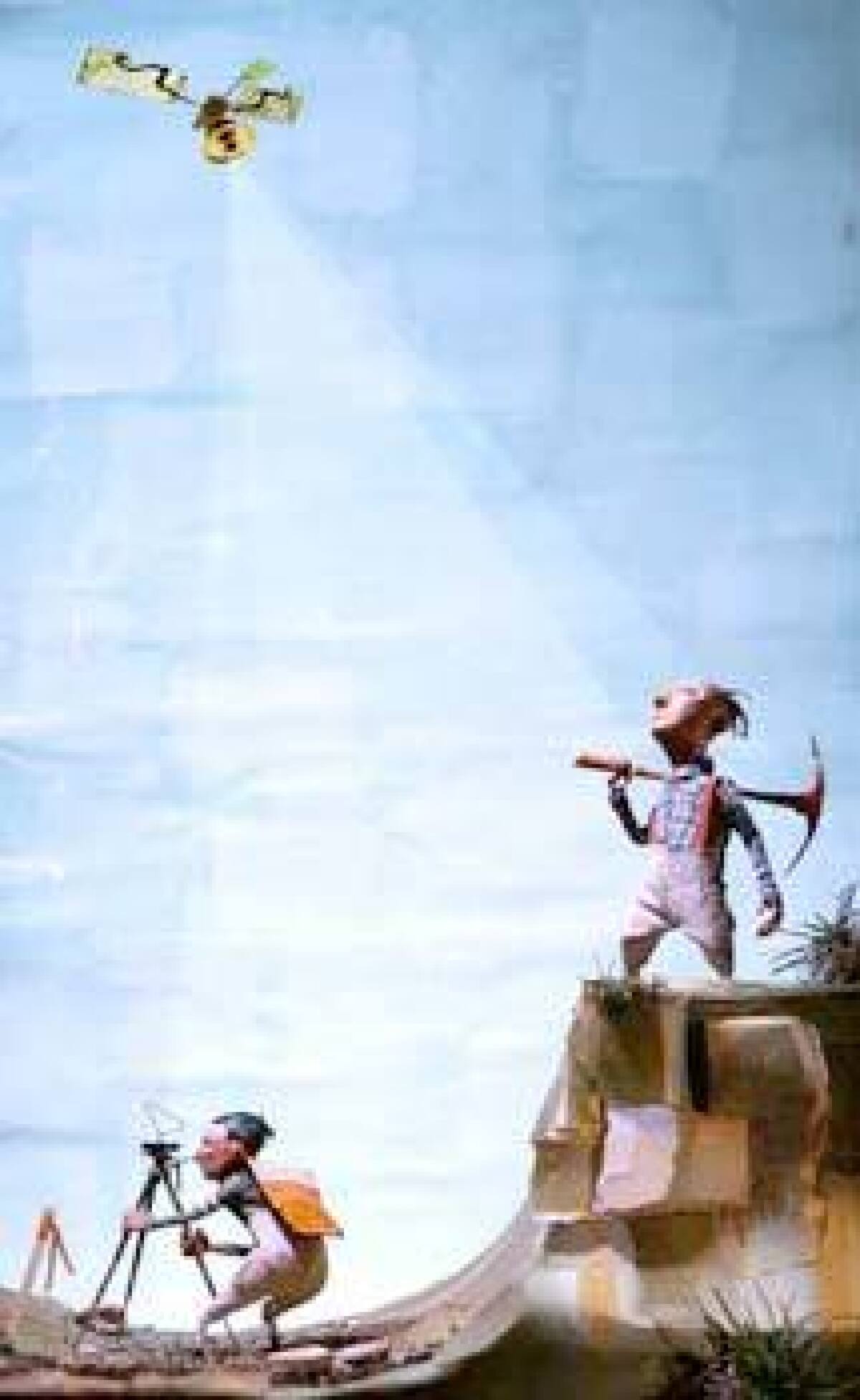
It struck me as ironic that we would be using sophisticated hardware in outer space to survey a simple parcel with no electricity and a well that didnât work. The land was primitive at best. There wasnât even an outhouse. I had expected someone like George Washington, our countryâs most famous surveyor, to show up with a wooden tripod, brass transit and a very long knotted cord.
When the civil engineer and surveyor arrived, their GPS survey gear was surprisingly not much more complicated, at least in appearance. From their van they unloaded a few orange-flagged stakes, a sledgehammer and a tripod-like affair with a receiver and antennas on top. It looked just like a TV cable box with bent coat hangers sticking out of it. I had expected the van to be stuffed with electronic gear and a big dish antenna on top, like TV crews use.
They set up this simple contraption, having established a starting point at a known âtriangulation station,â a nearby brass U.S. Geological Survey marker. We then waited until several satellites passed invisibly overhead.
Standing off to one side, I was trying to visualize the satellites streaking overhead far above the bright blue sky, higher even than the contrails from passing jets. They told me it would take up to seven satellites and, down in this canyon, it could take several minutes for enough to come into view to establish our location.
Looking at an assessorâs map of the property, they then estimated how far they were from the actual property line and moved the gear in that direction and again waited for signals. Then they moved again and waited, repeating this until they were right on the property line. I was quite surprised to see they were moving the tripod only inches as they approached the line. Thatâs how accurate GPS surveying can be.
We established the lower property line near the railroad car, and then walked up the canyon road to establish the uppermost. I held my breath the entire way, hoping the parcel included that meadow.
The surveyor would stop, take a reading and then go a little farther, me rooting âyesâ as we moved closer and closer to the meadow, where at the edge we went a hundred yards farther. I could hardly wait to tell Iris we would soon own more than half of that meadow.
On the tax assessorâs map, the property was demarcated as a long rectangle that looked like a stretched dollar bill with a tear out of one side, which was where a previous surveying error had been corrected. To me, the parcel appeared to run from the top of one canyon wall to the top of the other, in other words, across the canyon.
But that day I discovered that the rectangle actually ran more or less up and down the canyon so we owned more level property than I thought. The civil engineer told me we had plenty of potential sites if we ever got around to building a cabin.
Each time they found a point on a property line, they pounded in a piece of rebar with a bright orange plastic cap, and then a wood stake with bright orange strips of plastic attached at the top. I can now sight over two of the stakes to determine where the property line runs. In this case, knowing the actual corners of the property is not important, since they are up on the mountainside where one can barely walk, much less build.
After the surveyors left, I drove back to the meadow for another loving look and suddenly realized I could actually drive on the property. This was new. I could get in the car at one point and drive along a road to somewhere else on the property. Forty acres was big indeed, and it suddenly felt like we would own a real spread.
A few weeks after escrow closed, I already felt like a rancher winding up rusted old barbed wire that had fallen down and was getting tangled with the trees. When I told a friend about the barbed wire, he said it sounded like I was âriding fence,â just like in the Old West, and, indeed, thatâs exactly what every minute spent on this mountain property feels like.
*
Next: Not just barbed wire needs picking up.
*
Robert Smaus can be reached at [email protected].
More to Read
Sign up for Essential California
The most important California stories and recommendations in your inbox every morning.
You may occasionally receive promotional content from the Los Angeles Times.


