100-Degree Days Will Flame Out Midweek
- Share via
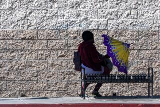
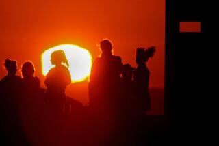
Triple-digit afternoon temperatures return early this week, but relief is in sight beginning Wednesday and through the end of the week, forecasters said.
An upper level ridge of high pressure, centered over Northern California and spread across the Western states today and Tuesday, will shift toward the east and into the southern deserts beginning Wednesday, producing lower afternoon temperatures, said Wes Etheredge, a meteorologist with WeatherData Inc., which provides forecast information to The Times.
“The high-pressure system will give way to upper level low pressure, which should cool things down to the low to mid-80s by Friday,” Etheredge said.
In the meantime, the heat will return in full force in the Valley today. The hottest spot is expected to be Van Nuys, at 104. Slightly lower temperatures are forecast for Woodland Hills, Chatsworth and Burbank.
Similar temperatures are forecast for Tuesday.
Morning lows will range from the mid-60s to low 70s through Friday, Etheredge said.
The ultraviolet index today at noon, when the sun’s rays are most direct, is expected to be 10, a very high reading. Sunscreen is recommended because people with fair skin could begin to burn within five minutes.
Wednesday’s afternoon high in the Valley will range from the upper 80s to the mid-90s. This will be followed by further cooling on Thursday, when temperatures are expected to be in the mid- to upper 80s.
The marine layer will drift in from the ocean Friday morning, producing low clouds and fog, which should give way to hazy afternoon sunshine.
More to Read
Sign up for Essential California
The most important California stories and recommendations in your inbox every morning.
You may occasionally receive promotional content from the Los Angeles Times.


