State Report Warns of Quake Risks in Simi
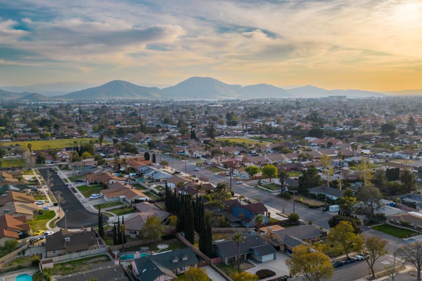
More than half the Simi Valley area could be subject to landslides or liquefaction in an earthquake and, as such, should fall under a state law requiring geological inspections before any construction begins, according to state geologists.
New seismic maps released Tuesday show hazard zones lacing the city with so many twists and turns that it would take an expert to say whether a particular piece of property is subject to the lawâs sway.
Generally, though, the south side of the city is prone to liquefaction, a process by which water-saturated soils turn to jelly under heavy shaking, jeopardizing building foundations. Hillside areas and canyons throughout are most in danger of landslides in major quakes. The cityâs central corridor is largely free from earthquake hazards.
Under the state law, homeowners would have to notify prospective buyers of seismic hazards identified on the state Department of Conservation maps. And landowners proposing commercial projects or residential projects of more than four homes must investigate the hazards and do what they can to correct them.
âYou donât have to restrict development under this program,â said Charles Real, supervising geologist for the state project. âYou just have to know what to do to make things safe.â
*
Tuesdayâs release, which included a 120-square-mile area around Simi Valley, marked the first of several maps the state will develop to determine what property is governed by the 1990 law. A 60-square-mile map of the Conejo Valley is set to be issued in 1998, but the rest of Ventura County is not scheduled to be mapped, even though scientists consider all the mountainous areas of the county likely sites for future quakes.
Until the maps are official, no landowners are subject to the lawâs provisions. Simi Valley residents have until Jan. 7 to comment on the maps with the Division of Mines and Geology in the Department of Conservation. The official maps will be released in March.
The maps released Tuesday focused on those areas subject to heavy damage in the magnitude 6.7 Northridge earthquake in 1994. Real said many of Simi Valleyâs liquefaction areas lie where sand and silt are common and water tables come within 40 feet of the surface.
The geologists decided that all such zones should be considered subject to sinking soils, although they caution that each map may not contain all the affected areas.
They also caution that an earthquake capable of causing liquefaction will not affect an entire area uniformly.
Not shown on any of the maps released Tuesday were major faults where heavy shaking could cause extensive damage.
*
Real said seismologists and engineers have been unable to agree on criteria for bringing these zones under the designation as seismic hazard zones.
But, he noted, for the most part, shaking damage is regulated under building codes, while the landslide and liquefaction zones are designed more to reduce dangers from underlying special geological conditions.
Real said a common mitigation step in an area subject to liquefaction may be strengthening of foundations. Putting in $1,000 to $2,000 more steel in the foundation could save money later when a quake comes, he said.
He acknowledged, as is often the case with state mandates, that the investigations will have to be done at local expense, although in most cases the cost is likely to be passed on to developers.
Landslide hazards are more expensive to mitigate, but retaining walls and hillside terracing can improve the situation.
There are no penalties written into the law for cities that do not adhere to the new requirements, but so far, most local officials have shown a willingness to cooperate, Real said.
And, he added, it will be highly embarrassing for city leaders if the community suffers serious quake damage because of their failure to cooperate.
FYI
Landowners who want to view or obtain seismic hazard maps from the state Department of Conservation can call the public information office in Los Angeles at (213) 620-3560.
More to Read
Sign up for Essential California
The most important California stories and recommendations in your inbox every morning.
You may occasionally receive promotional content from the Los Angeles Times.


